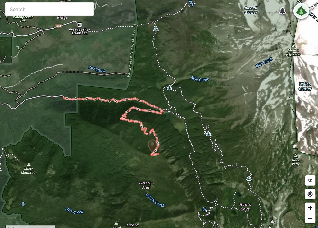
Location
Oregon,
US
Distance
5.2 mi
Vertical Gain
2,762 ft
Description
GPS Track
pamelia-lake-to-grizzly.gpx46.6 KB
FKTs
Male
| Tanner Vannice | 48m 57s |
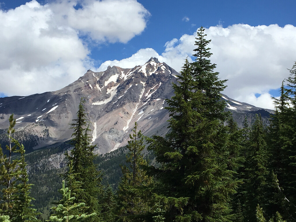
Images