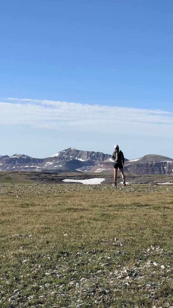
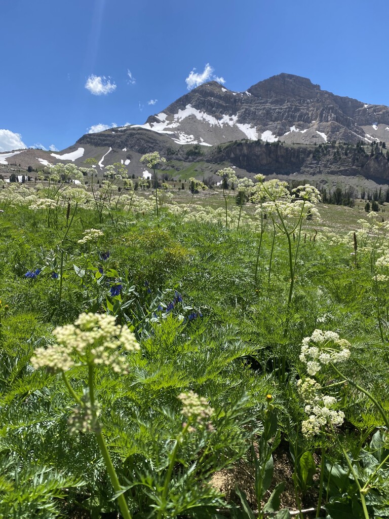
The Gros Ventre High Route is a non technical alpine traverse along the length of Gros Ventre Range. It's just under 50 miles (mostly off trail) with roughly 12k ft of elevation gain. The route provides incredible views of the Tetons, Wind Rivers, and highest peaks of the Gros Ventre. Along the way, keep an eye out for wildlife such as bighorn sheep, elk, moose, and bears. Many of the basins hold small lakes and colorful wildflowers late into the season. Keep in mind that water is limited on the western half of the route.
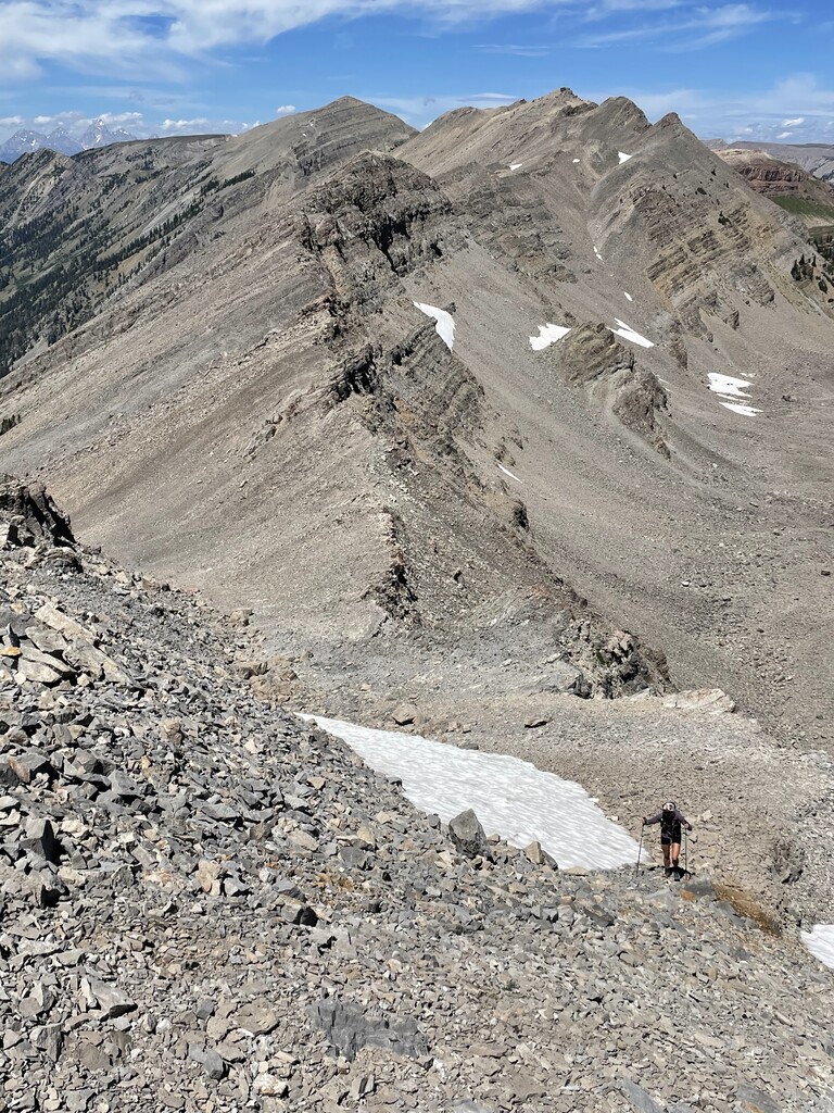
Description: The Gros Ventre High Route ascends from Flat Creek TH to a saddle just under the nose of Sheep Mountain and follows a high plateau and non technical ridges until unnamed peak 11168 where you drop down a shallow gully to Crystal Creek Trail between Black Peak and Antionette Peak. The trail is left behind shortly after a three way intersection of Swift Creek, Crystal Creek, and Shoal Lake and follows a basin between Palmer Peak and Darwin Peak. After a saddle off the north side of Palmer, you traverse a high shelf underneath Doubletop Peak (highest peak in the range) and over two more small passes that bring you to the Tosi Peak Basin. The Tosi Basin will drop you to the Rock Creek Trail and out to Green River and Green River Lakes Road at the NW end of the Wind River Range.