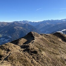
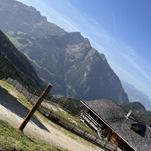
The described route is a demanding and challenging alpine trail that circumnavigates the Großarl-Valley on public Trails. Due to the high-alpine terrain and occasional lack of mobile phone reception, this tour should only be undertaken by experienced athletes with proper equipment and thorough planning.
Key Details about the Route:
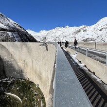
• Scenic Highlights: The trail passes numerous mountain peaks and offers breathtaking panoramic views of the surrounding high mountains. It traverses picturesque valleys such as the Gastein-Valley and the highest grass-covered mountain in Europe, the Malta-Valley where you pass the highest dam wall in Austria, and the Kleinarl-Valley before returning to the Großarl-Valley.
• Starting and Finishing Point: The hiking car park at „Großarler Genuss“ serves as the starting and finishing point of the route.
• Difficulty: High-alpine terrain requires sure-footedness, a head for heights, and good physical fitness. The tour should only be attempted in stable weather conditions.
• Special Information: Limited mobile phone reception in some areas. It is therefore recommended to carry a map (or a GPS device).
The Großarl-Valley and the surrounding regions offer a unique natural backdrop, making this route an unforgettable experience – but only for well-prepared and experienced mountain athletes!


