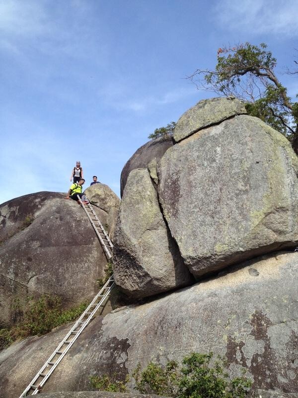
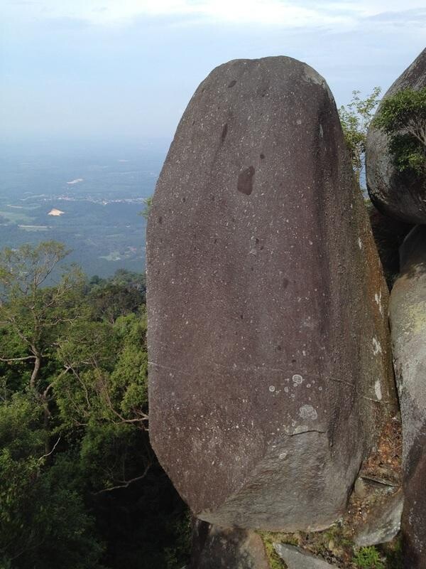
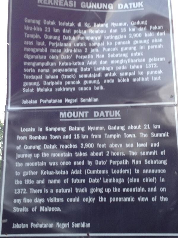
Gunung Datuk is located at Rembau town, in the state of Negeri Sembilan, Malaysia. Standing at 885 meters high, Gunung Datuk gives a 360 degree panorama view of the state. The summit is easily identified by the formation of huge rocks with steel ladders for assistance.
The trail starts with a short downhill stretch down to the stream beside the park headquarters before crossing a bridge and then going up. At this point the concrete path appears to lead up to the left, but the correct path is actually an earth trail on the right. This is perhaps the only part of the whole track that is a little confusing.
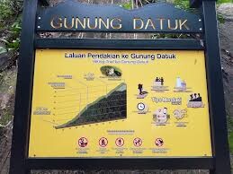
The trail slopes gradually and increasingly becomes steeper and taper off when approaching the summit. Its takes about 2 hours to reach the summit from the trailhead.The starting point of the trek is a flight of stairs that goes down to a stream. There is a small dam across the stream which you can across by using the bridge. The terrain for the first 10mins is relatively gentle undulations.
A hike to Gunung Datuk, which is really a lower peak before the true peak, Gunung Rembau. Datuk offers great views to the west, all the way to the Malacca Straits on a clear day. Hiking up and Down is 3.82km, EG is 580m
The Entrance Fee for the Gunung Datuk is RM5.00 per pax and the Parking Fee is RM2.00
Enjoy the Day!