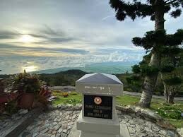
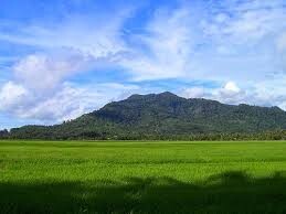
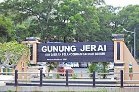
Gunung Jerai, formerly Kedah Peak, is a mountain in Kedah, Malaysia with the height of 3,854 feet (1,217m), also the ranked 148th highest mountain in Malaysia. The mountain is a massive limestone outcrop and is a lone feature from the surrounding geography of the area. There is an information board on top of the mountain stating that it used to be an island called Pulai Serai before the sea levels receded letting it form a mountain. This is probably supported by I Ching's record of Pu Lou Shi (Pulau Sri), a country located west of Sribogha.
The height of Mount Jerai relative to its surroundings allowed India traders and seafarers to use the mountain as a navigational point more than 1500 years ago. The mountain was considered sacred by the ancient Hindus so they built temples from the foothills up to the summit. Hindu-Buddhist priests would pray at these stupas for the safety of Bujang Valley, the richest archaeological site in Malaysia located on the southern reaches of the mountain.
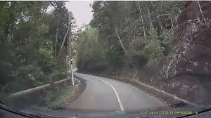
The route is tar road all the way from sea level to the hill top just only 13.20km, it is quite an easy two-lane road most of the way and no much traffic. running up and down is extreme good experience with the foot can reach 26.40km with EG 1227m.