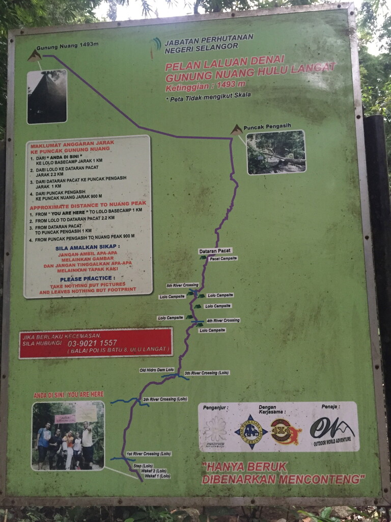
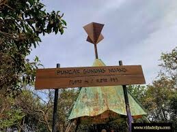
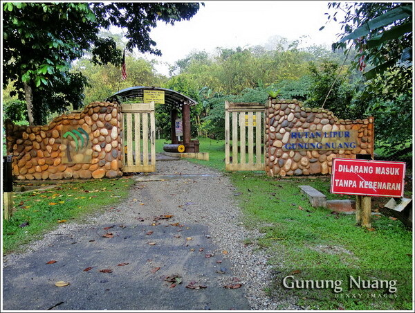
Location
Selangor,
MY
Distance
18.29 km
Vertical Gain
1,782 m
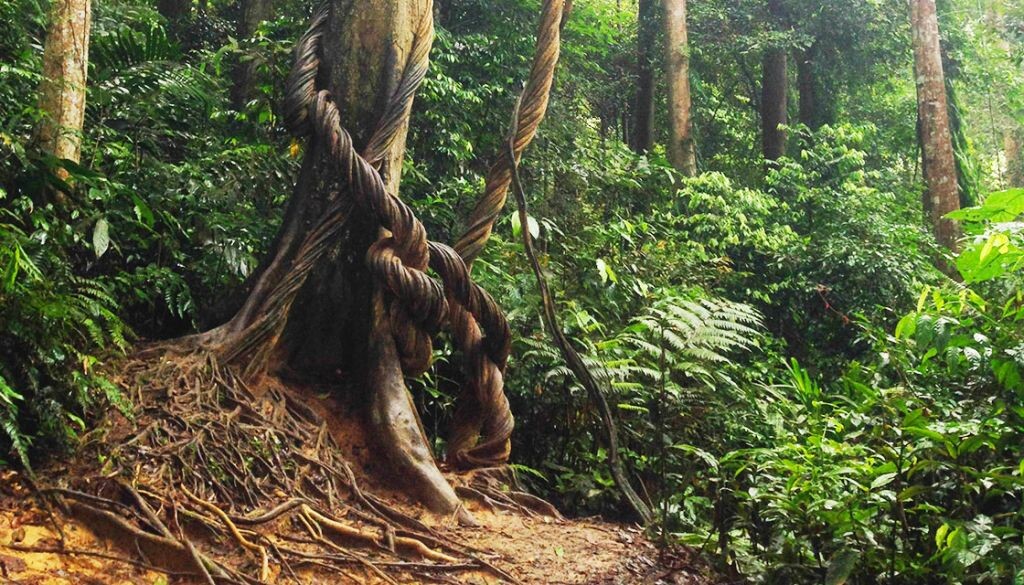
Description
GPS Track
Gunang Nuang up and down.gpx213.63 KB
FKTs
Male
| Chris Timms | 2h 12m 4s |
Images