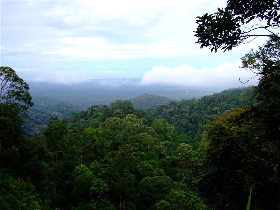
Gunung Pulai is a 654 meter high hill near the city of Johor Bahru. Although “Gunung” means “mountain or Mt.” in Malay, it is technically not high enough to be regarded as a mountain.
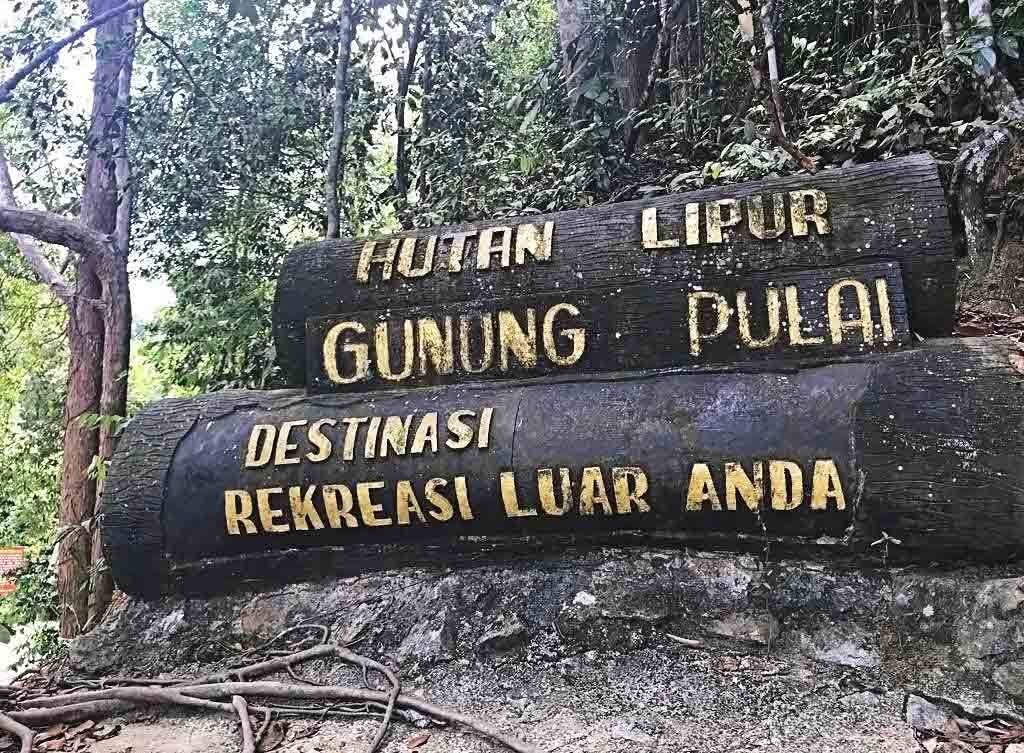
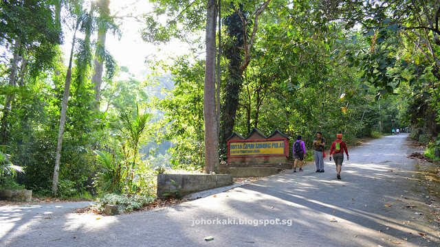
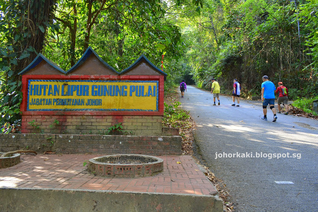
You will need to park your car at the start of the5 km road that leads all the way to the summit (on which sits some telecommunication towers), and proceed on foot. A few hundred meters in, the road splits into two, one going up to the peak, and one going down to the picnic/waterfall area, and you will see the archway to the now defunct recreational forest.
Reaching the top of the hill is a straightforward climb up the tarred road, which takes roughly 1.5 to 2 hours. Most hikers only climb part of the way. There are 3 telecommunications towers at the top, two on the summit, and one a little lower down. A couple of viewpoints provide breathtaking views of the rainforest that clothes the hill.
Up & Down is 9.3km with EG: 594m.
Enjoy the hiking always!