"The Hangang River flows through the capital city of Seoul, starting from three smaller streams in the central areas of Gangwon-do, Chungcheongbuk-do, and Gyeonggi-do. The river has witnessed the history of the Korean people for over five thousand years, through good and bad times. The riverside parks offer a nice retreat for the citizens of Seoul." (https://english.visitkorea.or.kr/enu/ATR/SI_EN_3_1_1_1.jsp?cid=1887247)
For more information, please follow this link: https://english.visitkorea.or.kr/enu/ATR/SI_EN_3_1_1_1.jsp?cid=1887247
Guide for the FKT:
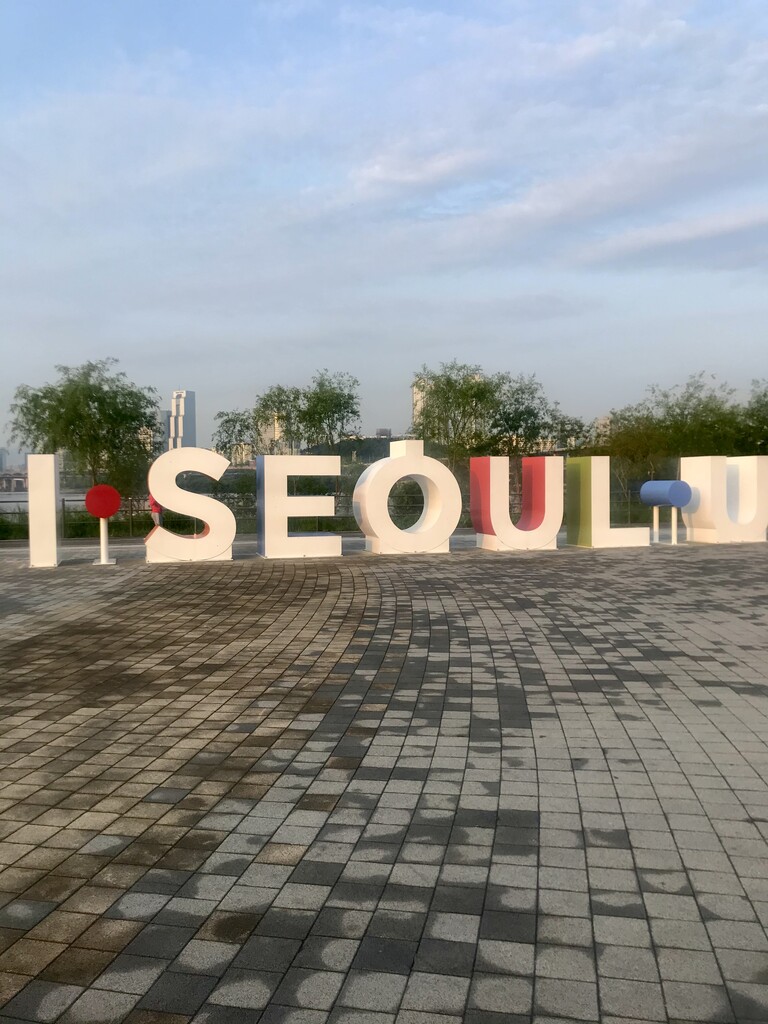
Start/finish at the I Seoul U sign in Ttukseom Resort right next to the Han river. Then, travel along the footpath until you reach Gayang bridge at around 24km. For the turn around, go up the stairs onto the bridge and cross; there will be stairs along the bridge for you to drop down to the south side of the Han river to head east. Travel along the footpath until you reach Gwanjin bridge at the 54km mark. Cross the bridge using the ramp and then drop down again to the north side of the Han for 4km until returning to the I Seoul U sign.
Note since this route is a loop you may start anywhere and run either direction.