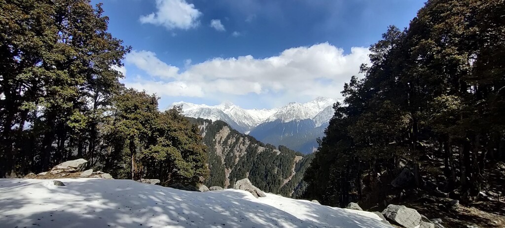
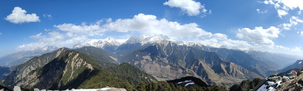
Bir, a small village located in the Kangra Valley of Indian Himalayas, has become increasingly famous in the past years for paragliding and adventure activities. The village has an atypical topography - endless gentle fields surrounded by the mighty Dhauladhar mountains towards the North, make for a sudden change in elevation (~1000m D+). This is why Bir-Billing is widely known as the second best site for paragliding in the world.
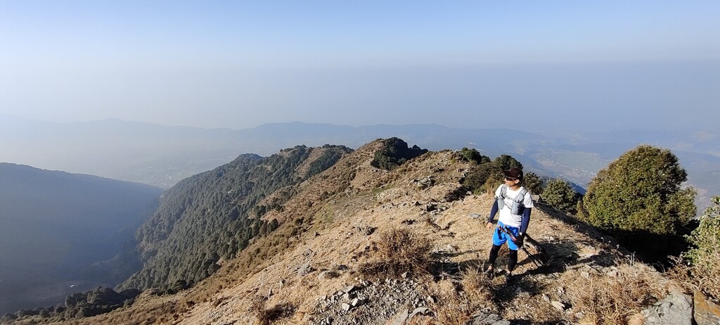
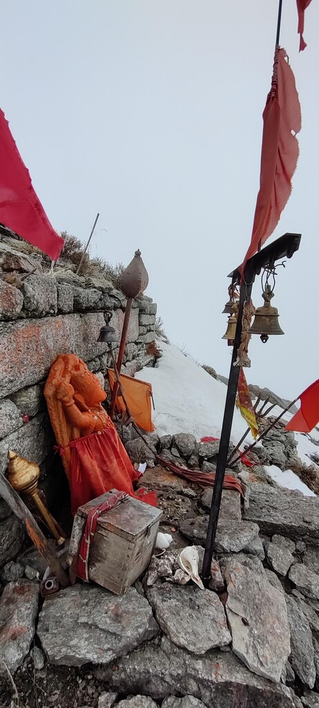
The route starts from the famous 'Landing site' of Bir (1500mts) leading up to the highest point in Barot valley called 'Hanumangarh' (3100mts) named after the famous 'Lord Hanuman' temple located at the peak. The first half is all uphill gaining almost 1800mts in 9kms along the ridge line which is covered in beautiful rhododendron forests for almost half the stretch. As one moves along these semi-exposed ridges, the entire valley below can be seen on a clear day. Since there is no established trail for this first half of the route - 'Whenever in doubt, just go UP!'
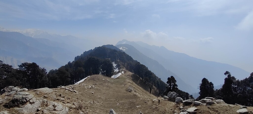
After crossing Hanumangarh where one can see 360 degree views of the valleys around, its all downhill and runnable from here. One can reach Chaina pass descending along the Ridgeline for another 3 kms, after which is the extremely runnable 6km jeep track that ends at the take-off site Billing (2500mts).
Due to the growing interest in paragliding and adventure activities around the valley, this route is going to become really attractive among trail runners and hikers in the coming years.