Harz Border Trail (Harzer Grenzweg)
Overview
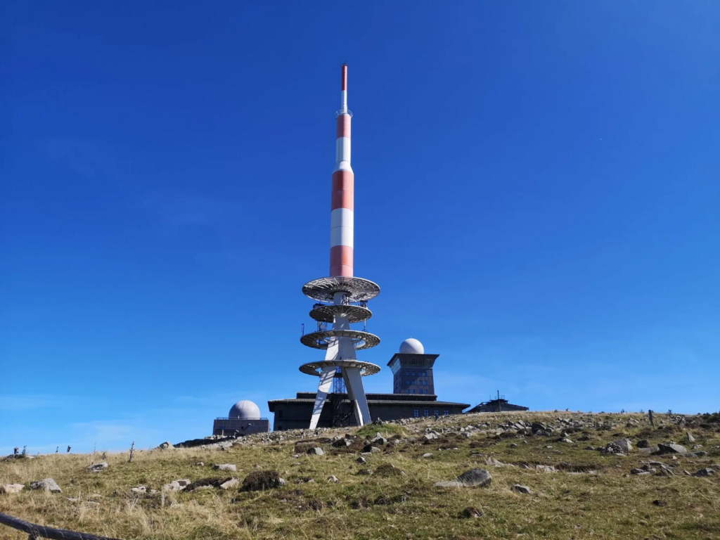
Point-to-point trail following the former inner-German border—the “Green Belt”—across the Harz mountains. Approx. ≈91 km with ~1,800–2,100 m of ascent depending on the exact line/side trips. Marked throughout; highest point is the Brocken (1,141 m). Surface is a mix of forest singletrack, gravel, meadow paths, and long stretches of the historic concrete patrol road
What makes this route special?
-
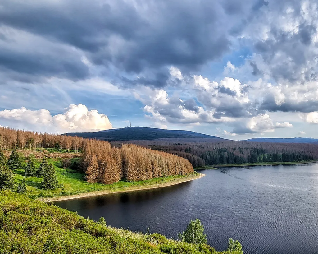
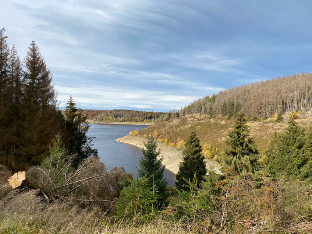
History x Nature in one line: You move along the former border strip, now the Green Belt, one of Central Europe’s longest conservation corridors—rich in wildlife and interpretive panels about the Cold War history.
-
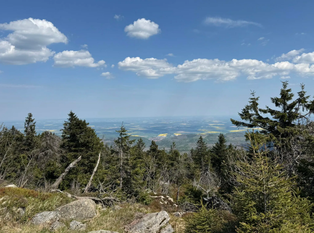
Brocken traverse: The route climbs the Harz’s iconic summit, where weather can change fast and views stretch far on clear days.
-
Tangible relics: Sections on Kolonnenweg slabs, the Ecker/Eckertalsperre border area, the open-air Border Museum at Sorge, and a finish by the Borderland Museum make this a rare blend of endurance effort and living history.
Terrain & conditions
Mostly runnable but never dull: rolling forest tracks, rooty singletrack, exposed Brocken weather, and the hard, rhythmic feel of concrete slab road. After heavy rain, meadow/mire sections can be slow; in shoulder seasons expect wind and cold on the Brocken. Best window April–November (check local conditions).
Waymarking & navigation
Signposted throughout (green ‘G’ on a white background) plus numerous information boards about the natural environment and border history.
A well-documented reference (map & profile) https://www.harz-wanderkarten.de/harzer-grenzweg.php