Start: Savage River Trail parking lot in Denali National Park. Went up past the rock outcropping to the top of the mountain. Followed the ridge line all the way to Mount Healy. Then went down the mountain on the Mt. Healy Overlook trail. Finish: at the Denali National Park Visitor Center. Note that the FKT route does not summit Mt Healy, which is technical.
Description from the NPS:
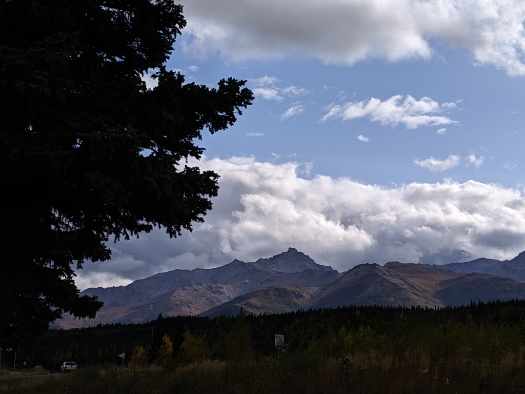
"Description: Mount Healy is a 15 mile ridge that runs east-west and reaches elevations of up to 6,000 feet. The top of the ridge is mostly loose rock with jagged peaks and spires. The topography is very steep, with ridge tops and narrow creek bottoms providing the main travel routes through the unit. Due to the significant elevation difference between the edge of the unit near the Park Road and the tops of the ridgeline, the vegetation ranges from boreal forest all the way up to barren alpine ridges and snowfields."
"Access: This unit can be accessed by the free Savage River Shuttle system that travels the first 15 miles of the Park Road. It is a 35 min bus ride to Savage River from the park entrance...You also can start a trip from Savage River Campground or on an established trail from the Savage River Bridge."
"Routes/Hiking Corridors: Most of those venturing to the high ridges of Mount Healy begin their hike from either the Savage River Bridge, or the Denali Visitor Center via the Taiga Trail and Mt. Healy Overlook Trail (Unit 24). The climb to the top is steep and the footing is often precarious. Following the ridge from one end to the other is possible, but is very challenging. There are very few places to camp on top of the ridges and little to no water."
https://www.nps.gov/dena/planyourvisit/unit25.htm