Route: The Herring Road (United Kingdom)

Submitted by Roscobev on Wed, 04/07/2021 - 08:11am
Location
United Kingdom
Distance
48 km
Vertical Gain
1,078 m
Description

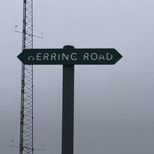
The Herring Road is thought to have been predominantly in use during the 18th and 19th centuries when the herring industry was strong, although records of the inland trade in fish go back to the mid-17th century. The route was used by people bringing home a stock of salted herring for winter use and also by fishwives carrying huge creels of herring from Dunbar to the markets in Lauder. There are parts of the route where V-shaped gouges may be evidence of the repeated use of heavily laden carts or packhorses, perhaps trying to get through the mud. 

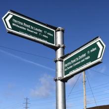
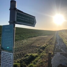
The first part between Dunbar and the Whiteadder Water is the original road; between there and Lauder the Herring Road is shown on the old OS 6-inch map as lying further west, over Hunt Law and Wedder Law. Roy's map of 1755 appears to shows the road slightly further west again, going over Meikle Says Law, Hunt Law and Wedder Law, and thence to Cleekhimin (2km south of Carfraemill) and Lauder, and calls it ‘Muir Road from Lauder to Dunbar’However, the exact line appears to have moved over time, possibly dependent upon ground conditions. It's also worth noting that Lauder wasn't the only destination, for example, in the eighteenth century people from Westruther were said to travel to Dunbar at Lammas to get a stock of herring for the winter. Fish-carriers or cadgers also transported fish inland for sale. Old maps show that a network of routes across the Lammermuirs; the promoted Herring Road signposted today is thus just one variant.

Gradually the speed and ease of the railway lines left little need for people to carry huge weights of fish over the high ground of the Lammermuirs and the routes declined in use. It is probably a long time since a herring has passed by this way.

Images