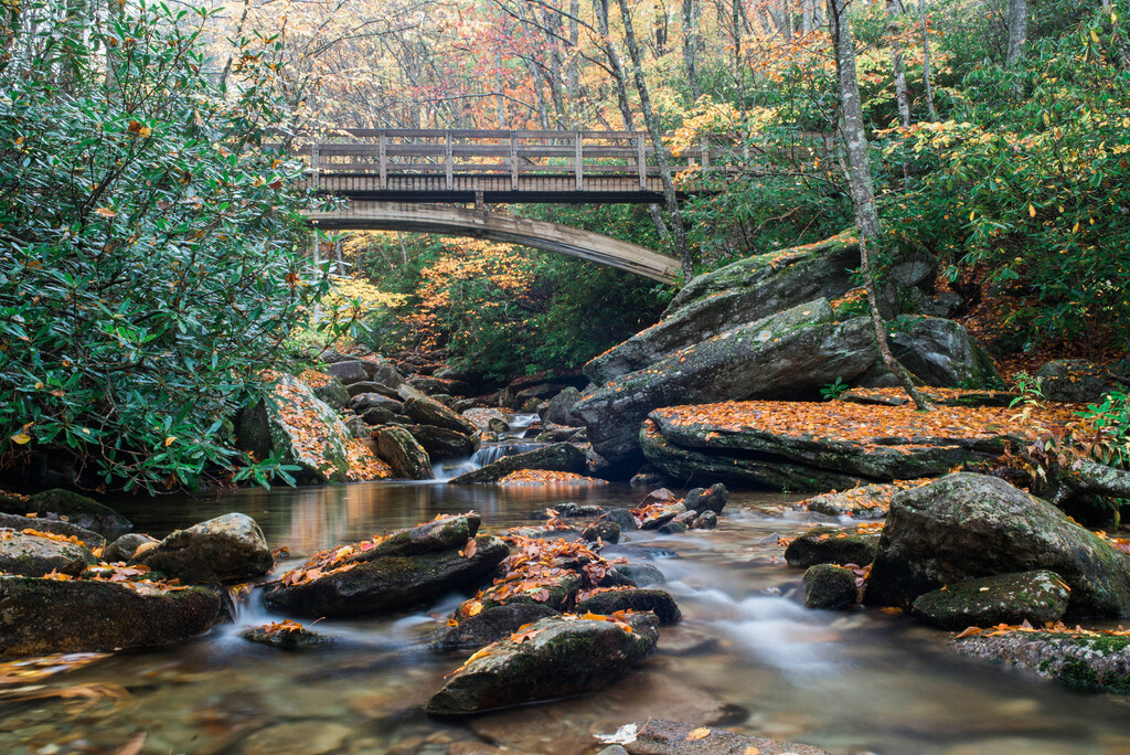
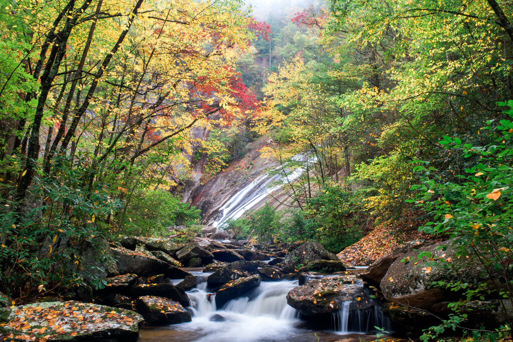
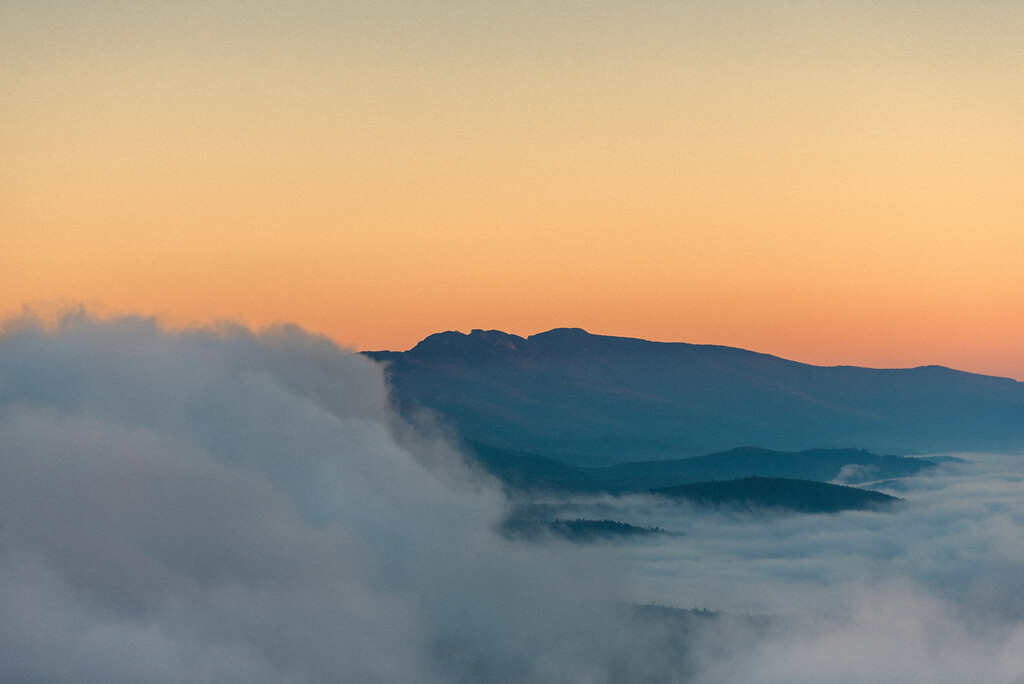
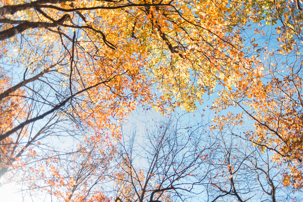
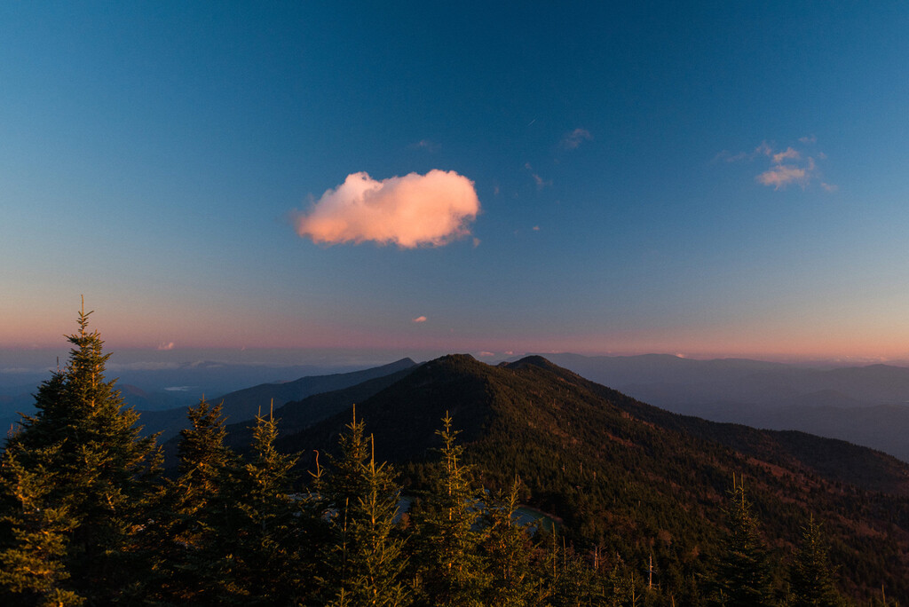
The ~170 mile loop explores some of the crown jewels of northwestern North Carolina- Grandfather Mountain, Wilson Creek, Linville Gorge, Mount Mitchell & the Black Mountain Crest, and the Roan Highlands (where it briefly dips into Tennessee). With over 35000 ft of elevation gain along the route, the High Country Loop is not for the faint of heart.
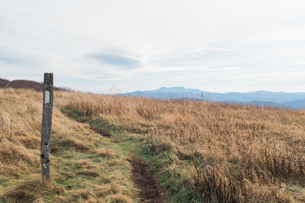
The High Country Loop is all on established trails and roads, utilizing 90-miles of the Mountains-to-Sea Trail from Grandfather Mountain to Mt Mitchell, the Black Mountain Crest Trail from Mt Mitchell to the Bolens Creek Trailhead, a 26 mile road walk from Bolens Creek to Hughes Gap on the Appalachian Trail, 14 miles of the Appalachian Trail through the Roan Highlands to 19E, a 13 mile road walk through Elk Park and Banner Elk to Grandfather Mountain, and 9 miles of trails on Grandfather Mountain.
This route links two state parks (Mount Mitchell & Grandfather Mountain State Park), two national forests (Pisgah & Cherokee National Forest), one national scenic trail (Appalachian Trail), one cross state trail (Mountains-to-Sea Trail), one wilderness area (Linville Gorge Wilderness Area), and one national wild & scenic river area (Wilson Creek).
The High Country Loop also summits or comes within spitting distance of 10 of the Southern Appalachians' 6,000ft peaks. Bonus points for tagging those along the way!
Because it is a loop, there is no set start/finish point. The loop can also be done in either direction- clockwise or counterclockwise.
Comments
Hello! What is the safest way to hike the road from Elk Park to Banner Elk? Not much of a shoulder to walk on and very curvy. Any suggestions? Thanks!
Unfortunately, that is the sketchiest part of the entire route. Both times I've done the HCL I just made sure to be extra cautious on that stretch- facing oncoming traffic when I can, listening carefully for approaching vehicles (no ear buds/ music), bright clothing. When I invented the route, that was the one part I didn't love but could find no other way to get it off the road through there. Long term goal is to find a way to get that section off of Highway 194.
This looks gorgeous and inviting! Is this loop fully open and runnable at this point post-Helene? Thanks for the info and for submitting this route.
Sorry for the late reply. The route is not yet fully open post-Helene. There is still a reroute in place between the South Toe River and Highway 80 on the Mountains-to-Sea Trail. The bridge over the Catawba River no longer exists (but the river is fordable at/near the former bridge location). There is also still a reroute in place in the Wilson Creek Area along the MST. And, lastly, I would imagine that the cable bridge over the North Toe River no longer exists, but I haven't gotten down that way to confirm. Hopefully one day everything will be open again along the original route! -Adam