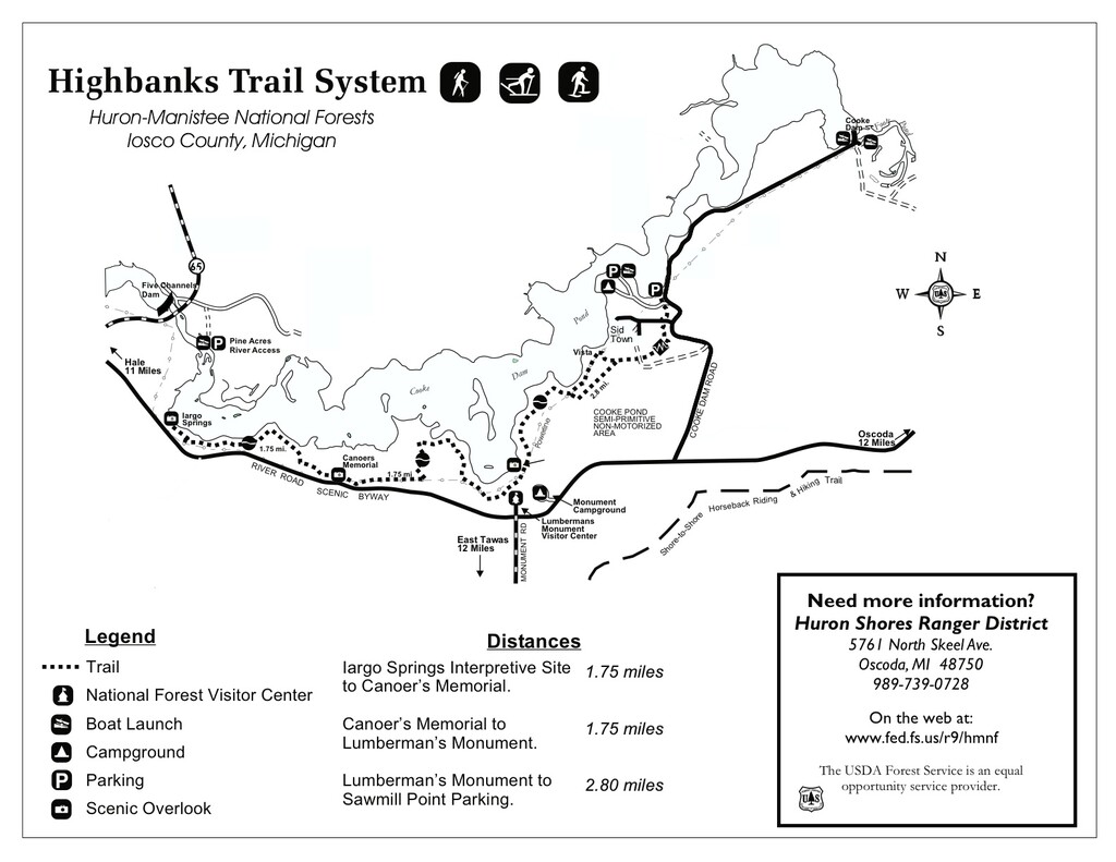
Location
Michigan,
US
Distance
6.3 mi
Vertical Gain
220 ft
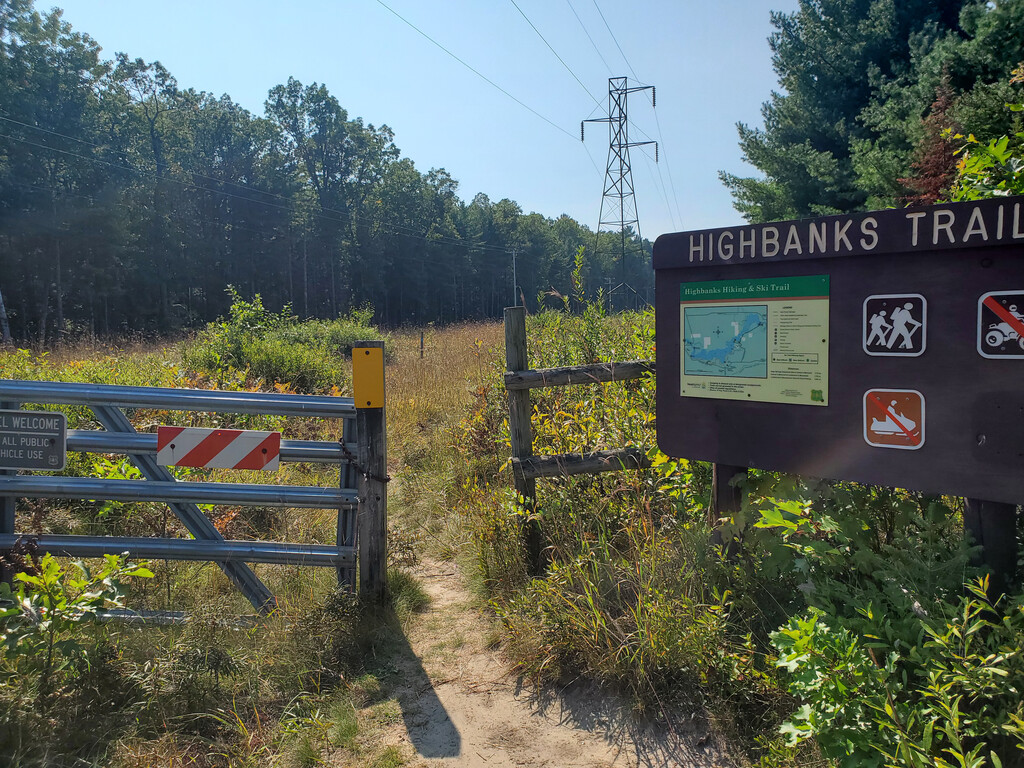
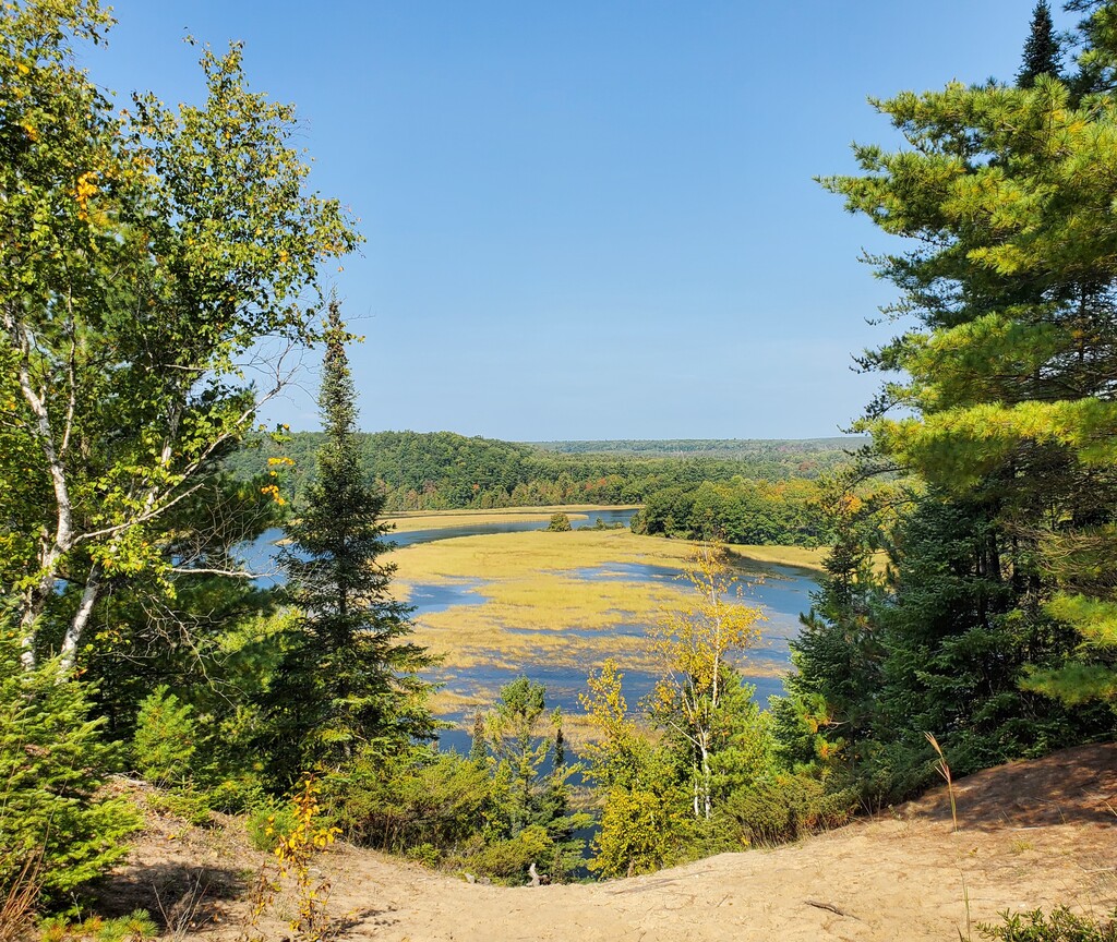
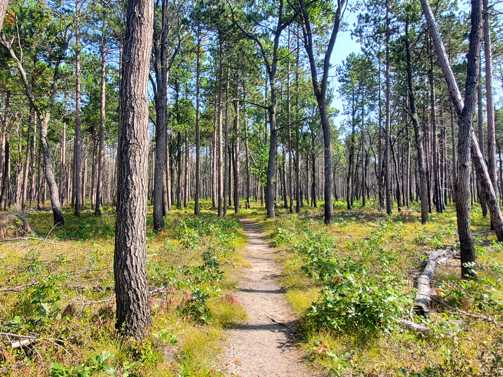
Description
GPS Track
highbanks-trail-fkt_1.gpx2.06 MB
FKTs
Male
Female
| Stephen Sensoli | 1h 37m 12s |
| Kathryn Burt | 1h 57m 54s |
Male
Female
| Stephen Sensoli | 46m 52s |
| Kathryn Burt | 57m 52s |
Images