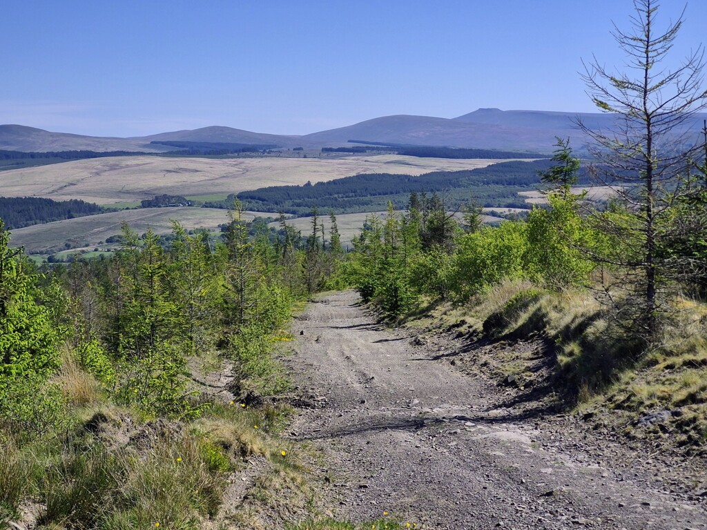
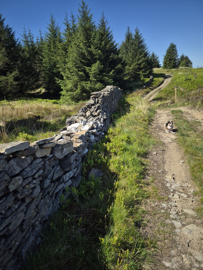
A rugged out-and-back along the 2,000-year-old Sarn Helen Roman Road across Hirfynydd. It links the Roman-history hub of Banwen - a candidate birthplace of St Patrick - to the B4242 on the far side of the mountain, where a stone milestone marks the turnaround. Expect true mountain trail with scree/talus sections, boggy hollows, forestry edges, and exposed moor. One half looks toward the high Beacons - Corn Du, Fan Hir, Fan Brycheiniog - the other drops views over the Neath Valley, Swansea, and the bay. You’ll pass forest stands, ancient walls, a Roman fortlet site, rolling open hill, occasional streams, and (if wet) knee-deep puddles. The same line must be retraced on the return.
Start / Turnaround / Finish
- Start (Banwen): Between the two Sarn Helen Roman Road murals in Banwen. Begin your watch only once you pass centrally between the two murals.
- Turnaround (midpoint): The stone milestone at the Sarn Helen B4242 intersection on the far (south-west) side of Hirfynydd. You must physically touch the milestone to validate the split and immediately turn around.
- Finish (Banwen): Return along the same route and finish only after passing back between the same two murals in Banwen.
Distance / Elevation
- Distance: 26.97km
- Elevation gain: 783.
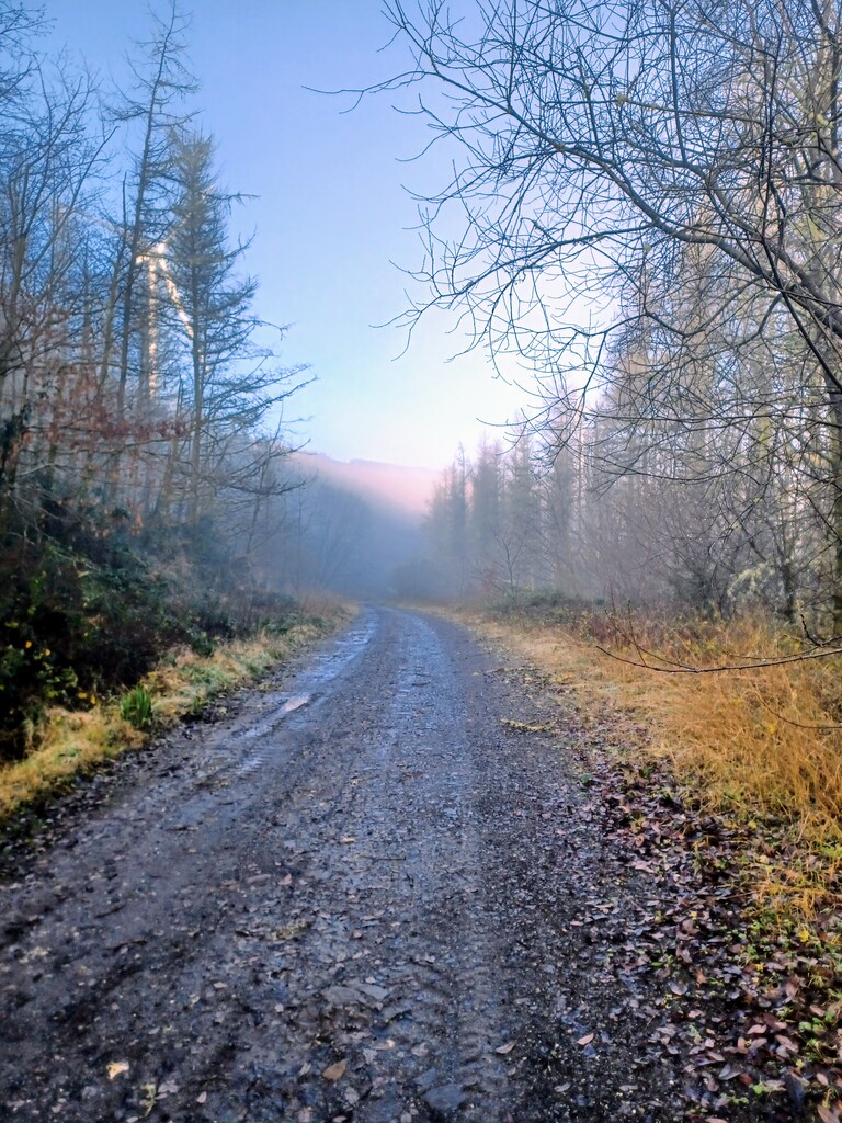
- Surface: Rocky doubletrack and singletrack on the Roman road line, scree/talus, peaty/boggy moor, brief grassy/forestry segments; very technical underfoot when wet.
Navigation notes
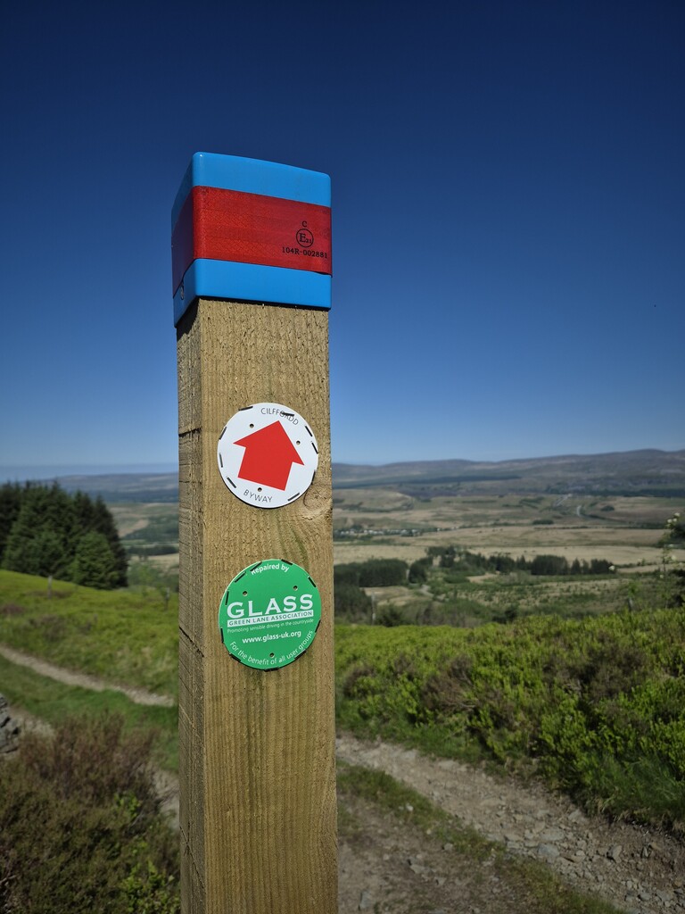
- The line broadly follows the obvious Roman embankment/track across Hirfynydd, with short sections skirting forestry.
- Waymarking is intermittent; GPX is strongly recommended.
- There are no shortcuts off the Roman line permitted - out & back on the same route.
Hazards & access
- Technical footing (scree/talus), standing water after rain, slippery stone, tussocky ruts.
- Seasonal exposure to wind, ice/snow; limited shelter.
- Forestry operations may be active; obey any temporary signage.
- Livestock present: gates shut, dogs under control, Leave No Trace.
Permissions & logistics
- Public right-of-way/established track.
- Parking: Sensible on-street parking in Banwen; on the B4242 side use legal lay-bys only (do not block gates/forestry access).
- Best season: Late Spring–Autumn for safer footing.
Points of interest
- St Patrick & Banwen: Banwen is one proposed birthplace of St Patrick.
- Roman heritage: Sarn Helen is the Roman arterial route; you’ll also pass remnants such as walls and a fortlet site on/near the line.
- Views: High Beacons skyline one way; Neath valley and Swansea Bay the other.
Turn-by-turn (high level)
- Start at Banwen between the two Roman road murals → join the Sarn Helen line trending SW across Hirfynydd.
- Stay on the Roman tread/track across open hill and forestry margins → descend to the B4242 junction.
- Touch the milestone at the intersection → reverse the route exactly back to Banwen.
- Finish only after passing between the same two murals.