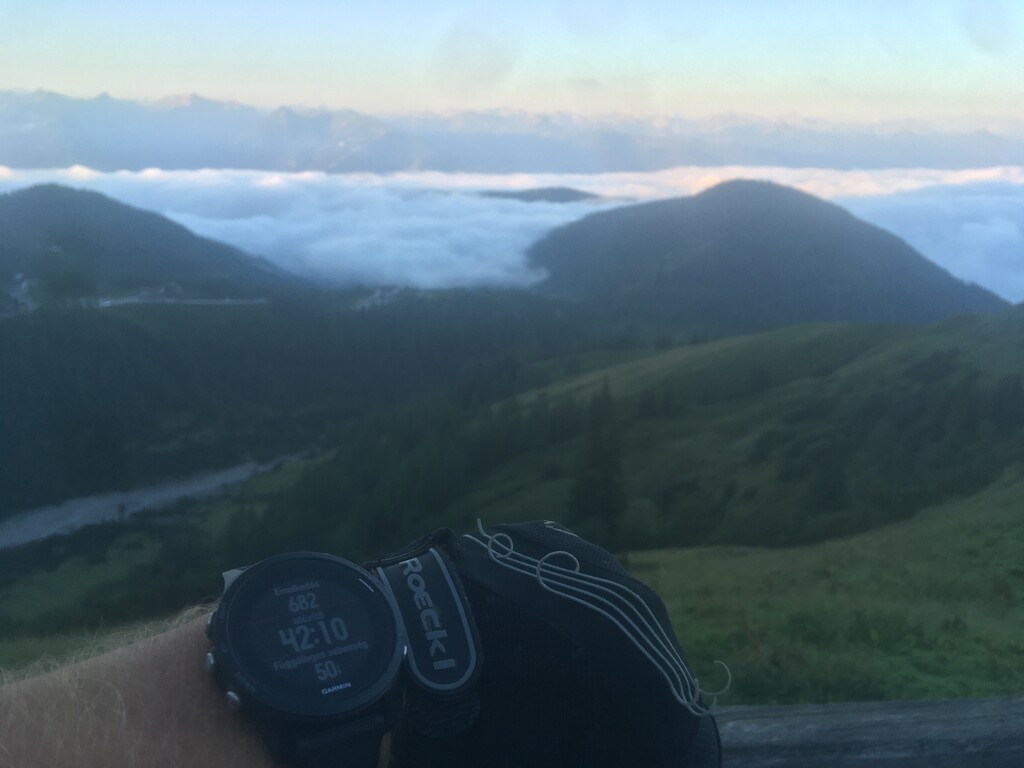
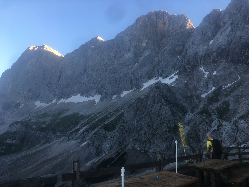
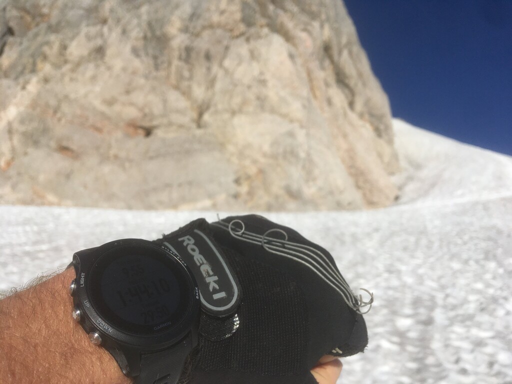
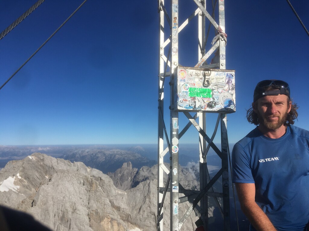
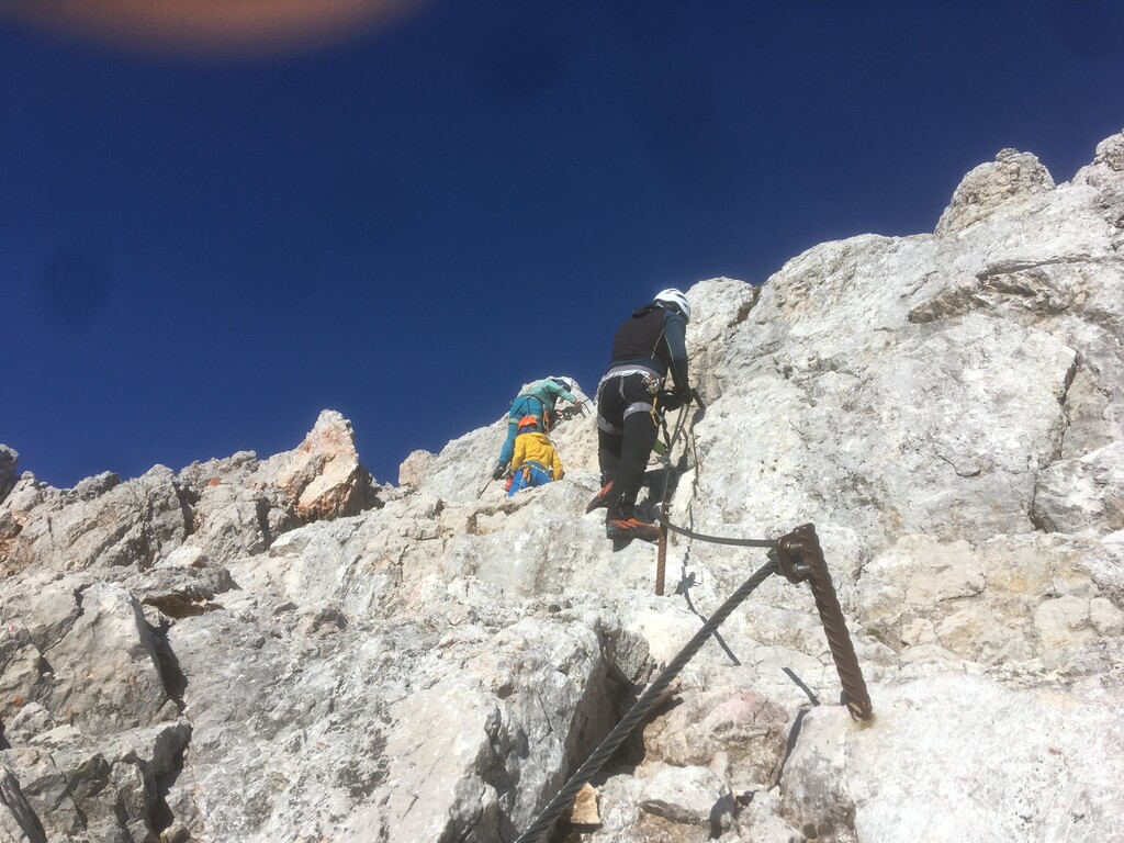
The route starts (1st picture) from 1200m above sea level, a well distinguished Tree and bench in Ramsau am Dachstein (Schildlehen) very close to an official parking and bus stop so easily reachable. From the start point you can see the future mountain massive that's your goal. The actual summit will be visible just after couple of hundred meters. As there are easy fix points for orientation I think this route will be popular. The narrow grassy trail joins the "Dachstenstrasse" just for a couple for hundred meters then gets back to the wild. You follow a logical trail a gravel then some small visible trains (good signs to follow "Dachstein Gletscerbahn"). You reach the Cablecar station for the Dachstein Gletscher where you should continue direction Südwandhütte (photo 2). From Südwandhütte you follow the "Huhnerscharte klettersteig" that leads you to the Gletscher where on safe and well prepared but snowy sometimes icy but groomed hiking trail leads you direction Seethalerhütte. When you are approaching the Seethalerhütte 300meters from arriving there the east shoulder of the Dachstein is the last Ferrata (photo 3) that you have to climb to reach the very summit of Dachstein (photo 4) that is 3000m high according to the local maps. (Many suggests it is only 2995m but they need these 5m extra to attract more tourists.) The way down follows the same way as way up or it is possible to go down with the Dachstein cablecar after the ascent. I recommend no to do up and down FKT because there are many people (photo 5 way down already crowded ferrata) in the later hours of the morning and can be dangerous for other climbers. Only exception can be very early season when some part of the via ferrata is under snow and there are no tourists on the way. The route is nearly 2000m vertical gain in around 10kms and on 80% of the route it is possible to run.
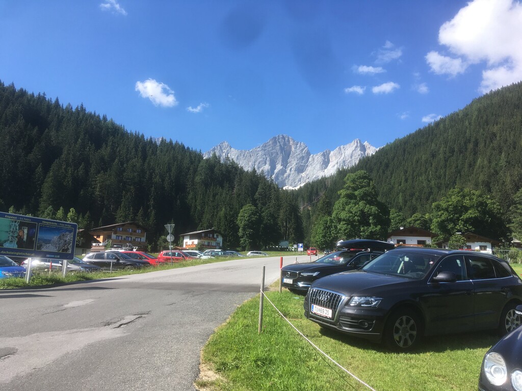
Laste picture (photo 6) looking back on the summit of Dachstein from the beginning of Dachsteinstrasse parking lot.
This mountain has a south wall of 900meters high and a very famous peak in Austria I am very surprised nobody tried any FKT yet from Ramsau am Dachstein to the top of the mountain. The technical difficulty and the objective danger of this ascent is way less then to reach Grossglockner (highest peak in Austria) on the normal route for example. I have some short videos from my ascent also.