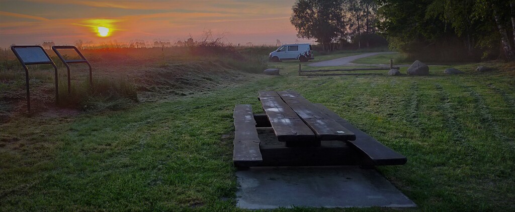
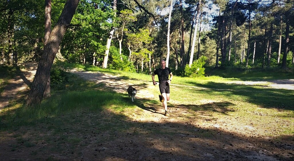
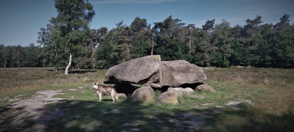
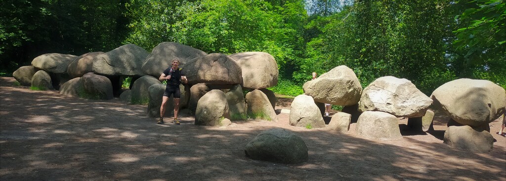
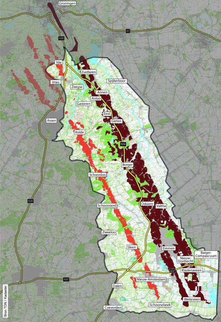
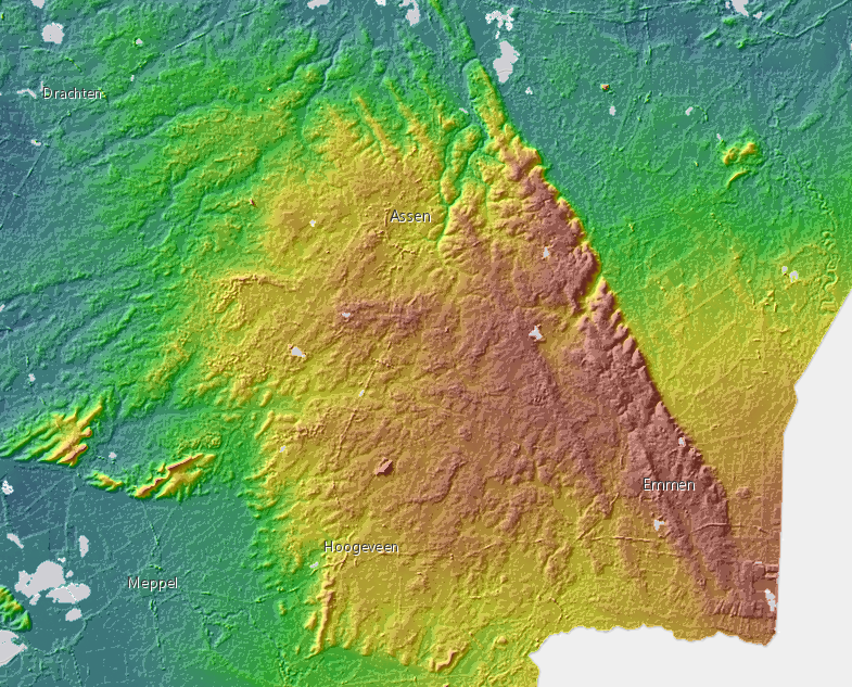
Route: Hondsrug (Netherlands)

Submitted by Erik Kemper on Fri, 06/18/2021 - 07:22pm
Location
Netherlands
Distance
100.8 km
Vertical Gain
229 m
Description

Hondsrug is a 70 km long Megaflute is the longest ridge in the Netherlands. Megflutes are sand ridges formed by undercurrents of large glaciers. The Hondsrug is the only one of its kind in Europe and was formed during the ice ages. The highest natural point (Haantjeduun) is only 26m. But is goes a long way. Along the way you will encounter many traces of the past during this trip. You can see where the ice ages left their marks. Were mammoths roomed the land. Where battles took place. Where megalithic tombs were build.

The route starts from the bottom of Bargerveen nature reserve, next to the small town of Weitteveen. To the end piont Martinitoren in the middle of the city of Groningen.

This route can only be walked with a GPS or smart watch and will pass a supermarket at about 33km, 63km and 79km. At approximately 49km, 61km and 79km are eateries/ snack bars. the rest of the route will consist of country roads and nature reserves.

For more info and help, contact Erik Kemper personal message on facebook.

Short movie about the route:

Hondsrug 100K (Ultra) - YouTube

A website about the surroundings

UNESCO Geopark de Hondsrug in Drenthe | Drenthe


GPS Track

Comments

User Picture
Profile picture for user Erik Kemper

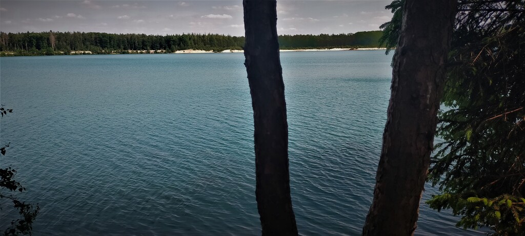
Here is a small adjustment just after the 40km point. Because there is a fence around this lake (free to enter).

https://www.afstandmeten.nl/index.php?id=2992143

P.s. Please note that just after the 90km point there may be a two kilometer stretch that at some times of the year the path may still be unmowed and it becomes a job.