Location
Sweden
Distance
24 km
Vertical Gain
415 m
Description
GPS Track
FKTs
Male
Female
| Conny Svahn | 2h 4m 19s | ||||
| Fredrik Forsström | 3h 10m 52s |
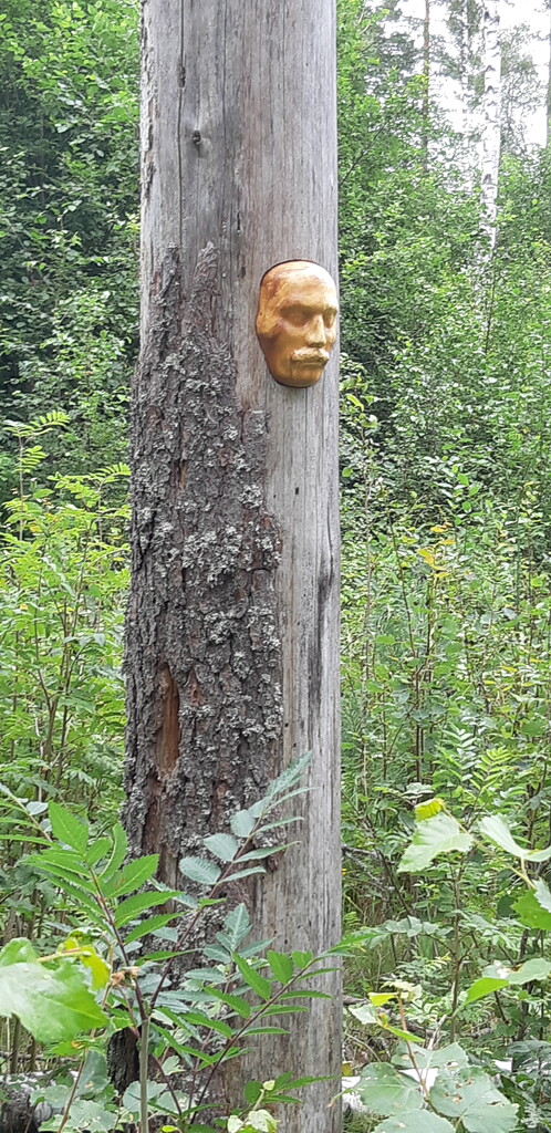
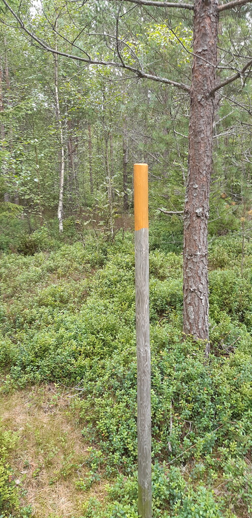
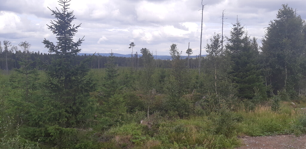
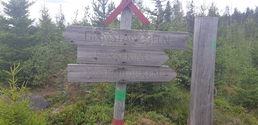
Images


Comments
Grattis Conny, jag sprang på 2:52 igår innan jag kände till ditt FKT.