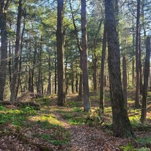
Route: Ice Age Chequamegon National Forest (WI)

Submitted by Renata P. on Tue, 11/01/2022 - 09:33am
Location
Wisconsin, US
Distance
35.7 mi
Vertical Gain
3,894 ft
Description

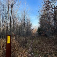
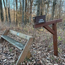
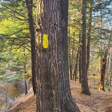
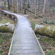
This is a point-to-point route along the Ice Age Trail (IAT) through the Chequamegon National Forest. This route includes the Lake Eleven IAT segment (15.6 mi), the Jerry Lake segment (15.2) and the Mondeaux Esker segment to the Mondeaux Dam (4.7). The trail begins at the Hwy 64 Lake Eleven trailhead. These sections may be the most rugged and remote parts of the 1200-mile long IAT. This route features plenty of ankle twisting rocks, roots, mud, creek crossings, beaver dam crossings and route finding at times. This route highlights the kettles, moraines, eskers and erratics formed by the last glacial age. Trail blazes are spotty in some areas, cell phone reception is rare and fire or logging roads may appear that are not on maps. The area also has plenty of wildlife including black bears. Per maps, the route covers 35.7 miles and sneaks in a decent amount of elevation, with nearly 4,000 ft of gain, much of it concentrated in small pockets of the trail when climbing/descending eskers. These trails are not popular for day hikes, so you will have the wilderness to yourself unless you encounter backpackers or someone trying for their own FKT! The route ends at the Mondeaux Dam where you will find restrooms and the Mondeaux Dam Lodge, where if it's open, you can treat yourself to some real food. 

GPS Track