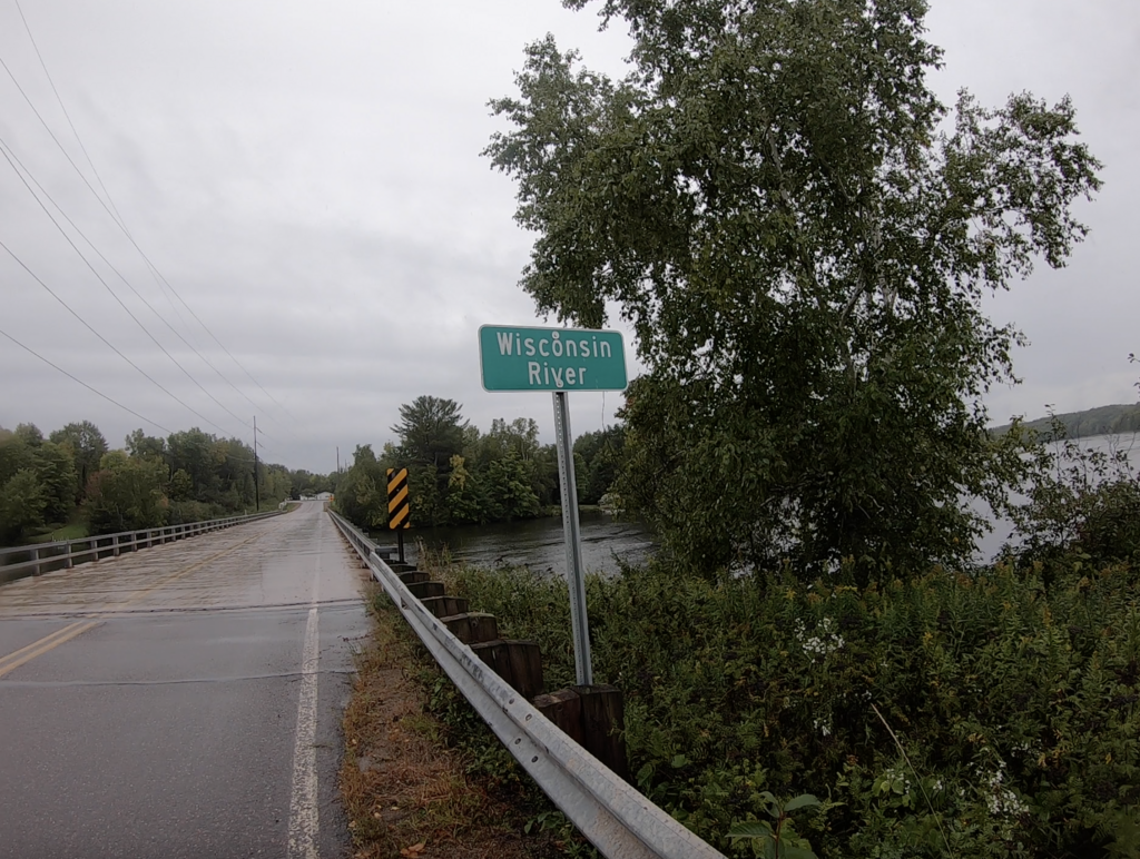
Route: Ice Age Trail, Lincoln County

Submitted by billdittman on Sun, 09/11/2022 - 10:18am
Location
Wisconsin, US
Distance
65.4 mi
Vertical Gain
2,684 ft
Description

The Ice Age Trail runs through Lincoln County, with access points on the west and east border of the county.

The western border of Lincoln County on the IAT is 0.38 miles west of Tower Rd. on the Wood Lake Segment.

The eastern border of Lincoln County on the IAT is at the Harrison Hills Segment sign on First Lake Rd. 

Throughout the route across Lincoln County, approximately 3/4 is trail and 1/4 is road/jeep road. Segments included are a portion of Wood Lake Segment, Timberland Wilderness Segment, Camp 27 Segment, New Wood Segment, Averill-Kelly Creek Wilderness Segment, Turtle Rock Segment, Grandfather Falls Segment, Underdown Segment, Alta Junction Segment, and Harrison Hills Segment.

Over the course of this run you'll experience hills, flats, forest, single track, double track, roads, jeep roads, logging fields, rivers, creeks, lakes... All while traveling in solitude on the Ice Age Trail!

GPS Track