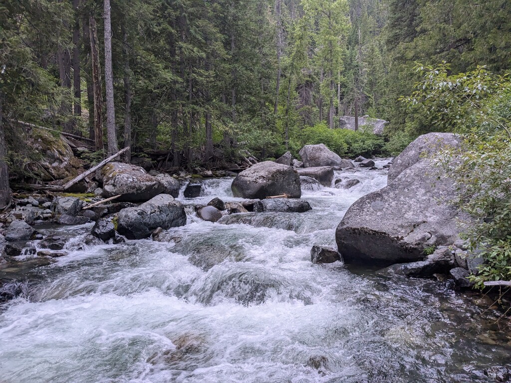
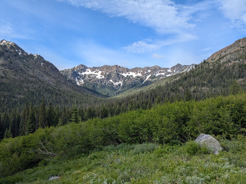
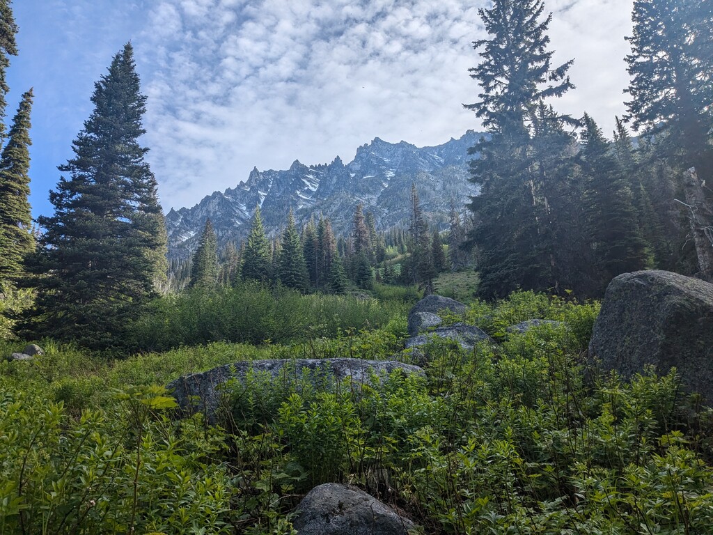
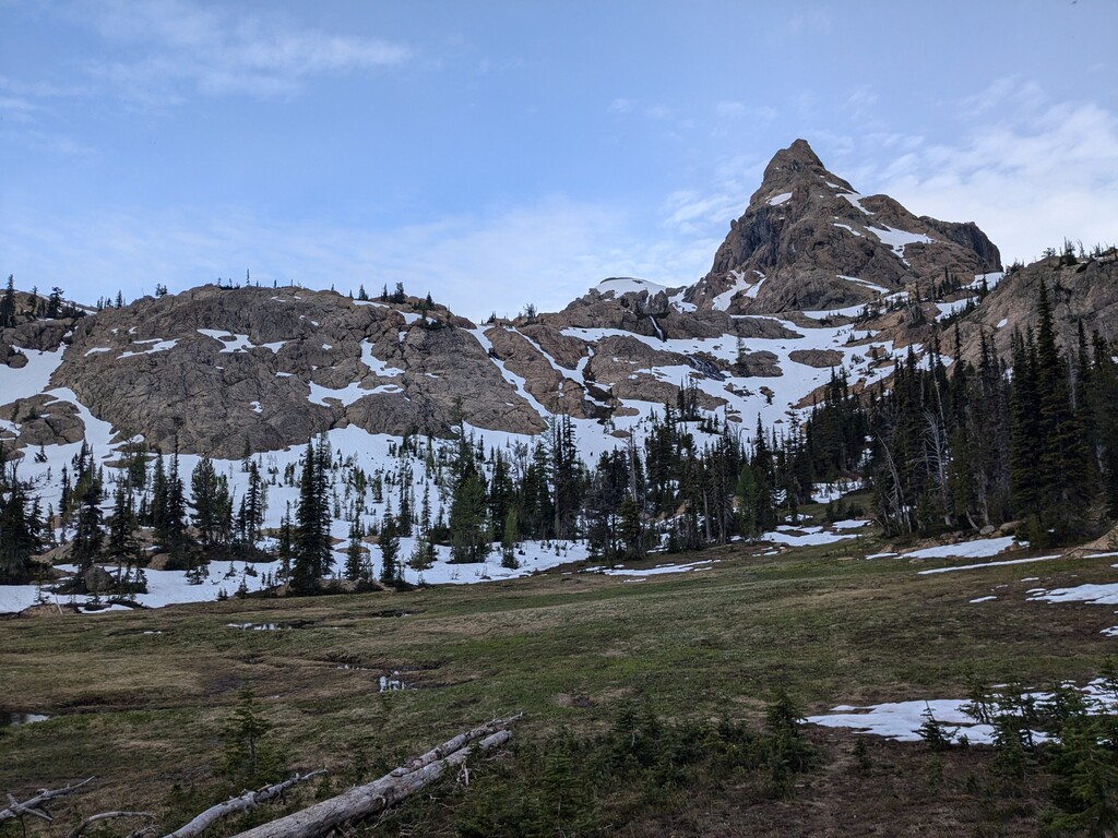
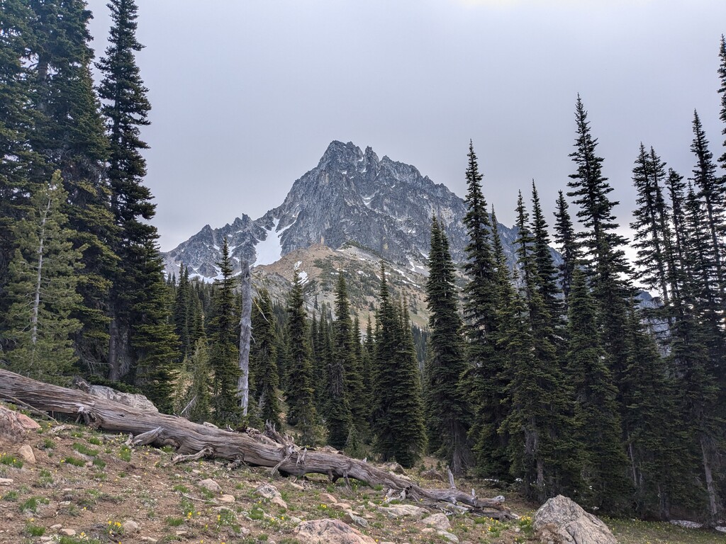
Ingalls Creek trail parallels a rapidly flowing stream that starts from Ingalls Lake and eventually empties into Peshastin Creek. The creek travels through a ravine which is flanked by the Stuart Range to the north and the Teanaway Range to the south. Despite the popularity of the Enchantments in the upland valley to north of the Stuart Range and the ridges of the Teanaway Mountains to the south, Ingalls Creek is somewhat forgotten. This route traverses Ingalls Creek trail from the Peshastin Creek off highway 97 to Ingalls Lake and back. The trail starts at a small gravel parking area about a mile from the official confluence of the creeks. It is generally a fairly dry area situated on the east side of the Cascades with sparse tree cover and flora that prefers semiarid conditions. The trees in the first few miles of the route tend to be a mix of Firs and Ponderosa Pine with Western Redcedar hugging the banks of the creek. The understory is a combination of herbaceous plants and shrubs consisting of Snowbrush Ceanothus, Rocky Mountain Maple, Nootka Rose, Mariposa Lilly, Arrowleaf Balsamroot, Indian Paintbrush, and Bearberry. After starting the run at ~1980 feet, the route generally trends uphill to a highpoint at ~6000 feet. The traverse is 29.35 miles with 5052 vertical feet of gain.
https://blewskersmiles.com/ingalls-creek-traverse/
https://youtu.be/2FmuEyvZohk