**The Isle of Mull Skyline: A Mountainous Ultra-Marathon Route by Caleb Andrew Nonhebel**
The Isle of Mull Skyline, created by myself, Caleb Andrew Nonhebel, is an ultra-marathon distance route stretching from the east coast to the west coast of Mull. This challenging 50km route encompasses every classified peak (Munro, Corbett, Grahams) on the island, making it one of the most demanding courses in existence. The route's difficulty arises from its nearly pathless terrain, rough Scottish ground, and relentless climbs, often starting from sea level.
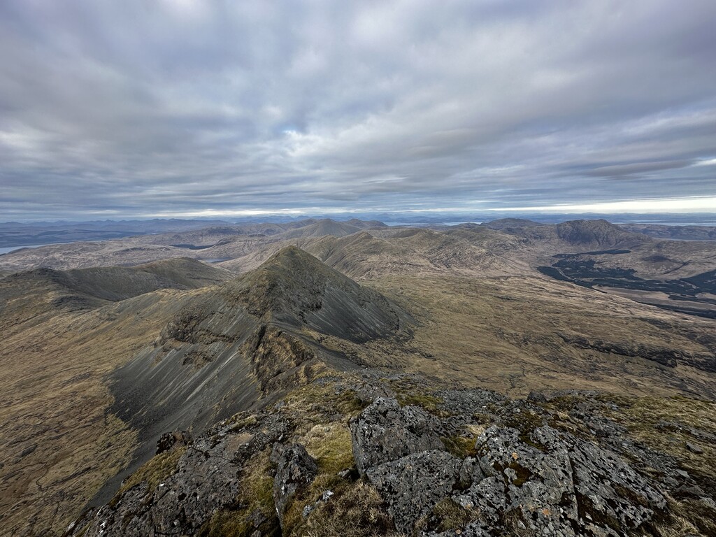
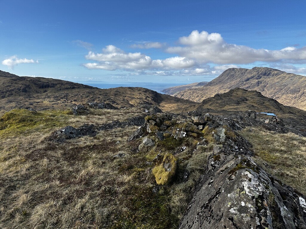
The Isle of Mull Skyline systematically flows from east to west, mirroring the natural layout of the hills. It offers a comprehensive and logical path to tick off every classified peak while showcasing some of the most stunning scenery in the UK, including views of the mainland and the Inner and Outer Hebrides. This route, exploring true wilderness and lesser-known hills, includes the famous Munro, Ben More, as its final peak. The route requires at least grade 1 scrambling, without significant problems with heights. My lifelong experience on the Island of Mull, and extensive time spent on these hills, has allowed me to design the best passage for this route.
The journey begins at the Duart Castle road end, chosen for its convenient parking and proximity to the east coast. From here, the route follows the A849 towards Craignure, turning off after about 400 meters onto a steep road that becomes a gravel track. This path leads to the first radio masts and then onto a faint grassy path aiming towards Mainnir nam Fiadh (MNF), which features a trig point and a large cairn. The route continues to Dun da Ghaoithe (766m), the island’s only Corbett, marked by another large cairn.
From Dun da Ghaoithe, the path doubles back to MNF and then heads southwest for a steep descent to Mam Lirean. The next ascent is up Beinn Bheag and along a ridge to Sgurr Dearg (741m), the first Graham, marked by a small cairn. The route then descends steeply to Glen Forsa, crossing the River Forsa and ascending the eastern face of Beinn Talaidh, known as the 'Talaidh Wall.' This ascent leads to the summit of Beinn Talaidh (761m), the tallest Graham in Scotland, with a broken trig point and a flat cairn.
The path continues over the summit and down the SE ridge into Glen More, passing Maol nam Fiadh. After crossing a forest track and the A849, the route follows a driveway at Ishriff, then along the river Allt Molach to Loch Sguabain. It ascends Beinn Fhada, passing lochans, before climbing to Creach Beinn (698m), the fourth Graham, marked by a trig point and a cairn.
The descent from Creach Beinn follows a steep scree chute into Gleann a' Chaiginn Mhoir and up the grassy and rocky slopes of Ben Buie (717m), the fifth Graham. The path then retraces its steps and descends a scree chute before crossing the A849 again and ascending Cruach Choiredail (618m), the smallest classified peak on the island.
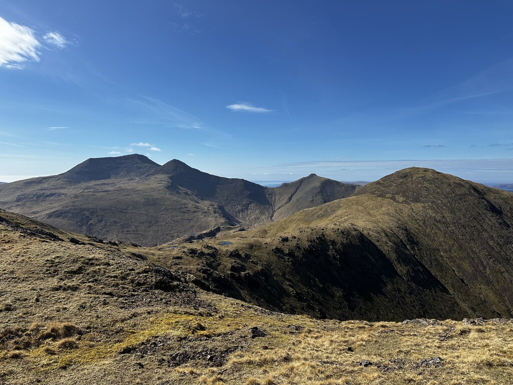
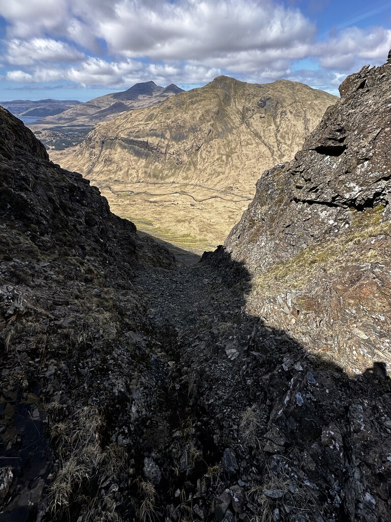
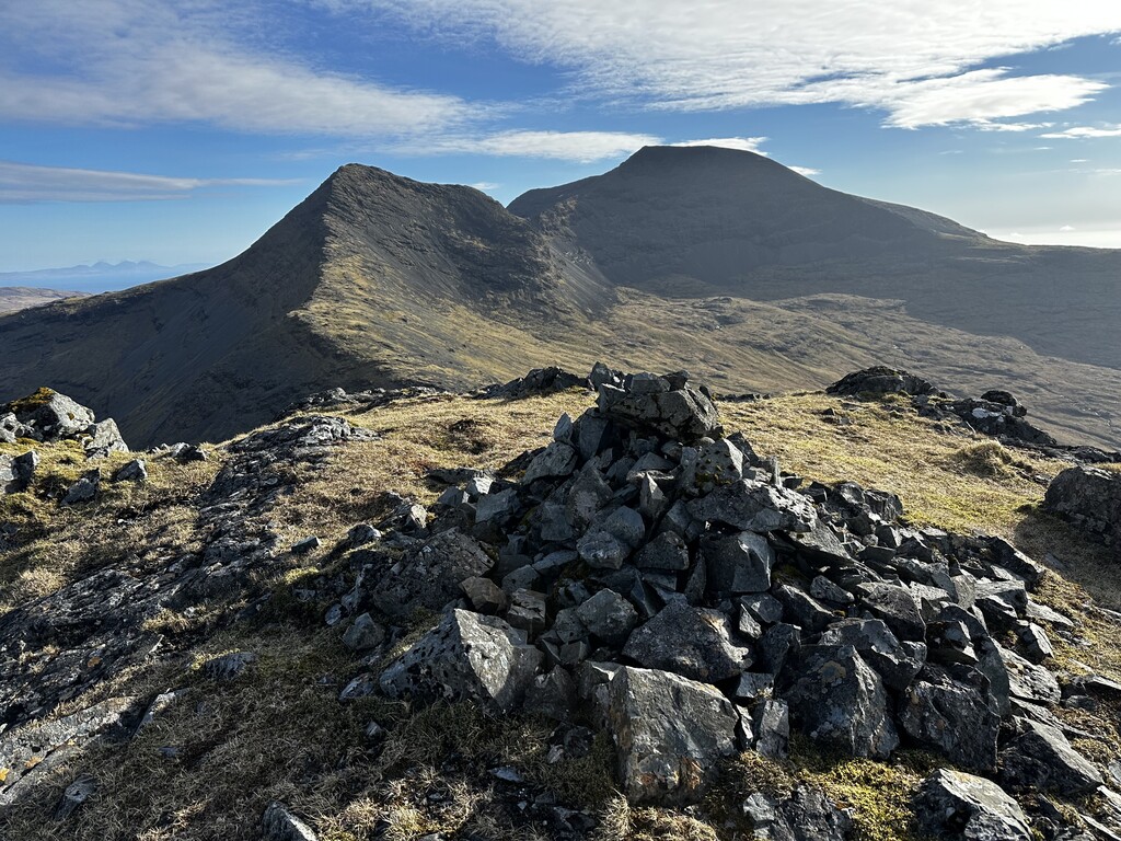
From Cruach Choiredail, the route heads NW, climbing Beinn a' Mheadhain, and then up a steep ascent to Corra-bheinn (704m), the seventh Graham. The route continues through a saddle with lochans to Cruachan Dearg, then west to Mam Clachaig and along a steep corrie headwall. The path ascends to Beinn Fhada (702m), the eighth Graham, before descending and scrambling up to A'Chioch. The final ascent follows a faint path along a ridge requiring scrambling, leading to Ben More (966m), the ninth and final peak, the only Munro, marked by a wind shelter circular cairn.
The route then descends the main path from Ben More, crossing rocky and grassy terrain, to the parking spots at Dhiseig on the seashore, completing the grand feat of the Isle of Mull Skyline.