Location
Ontario,
CA
Distance
9.43 km
Vertical Gain
427 m
Description
GPS Track
James Duncan full trail.gpx22.68 KB
FKTs
Male
| Ian Reston | 1h 5m 57s | ||||
| Ian Reston | 1h 13m 49s | ||||
| Darryl Fawcett, Neil Workman | 2h 17m 6s |
Male
| Ian Reston | 2h 1m 50s | ||||
| Ian Reston | 2h 24m 2s |
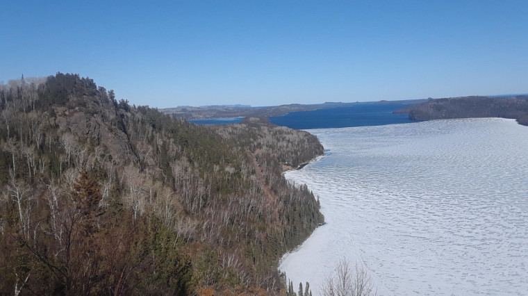
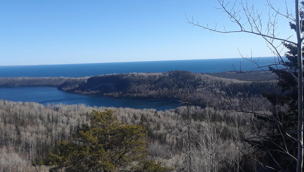
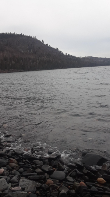
Images