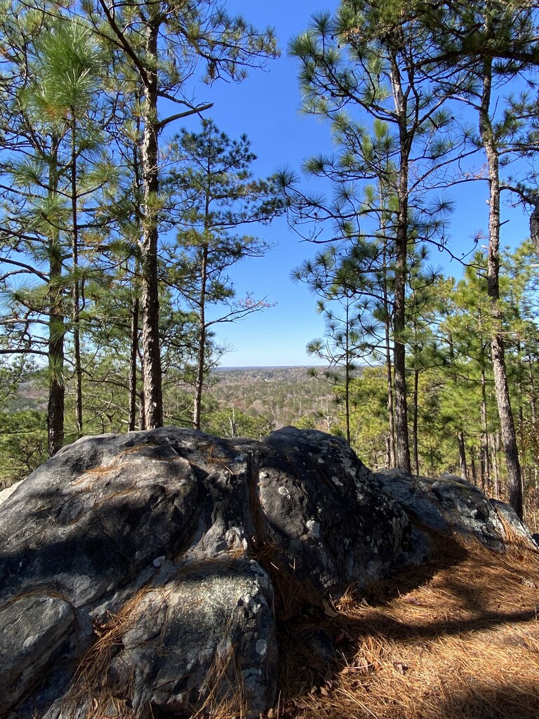
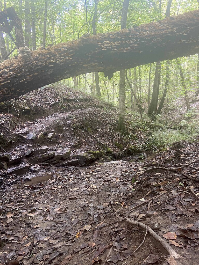
JBS is a short-but-technical 90% single-track loop trail that starts/ends on the south side of Yates Lake/Tallapoosa River and is maintained by CRATA (https://crata.org/yates-lake/). Blazed both directions but often run/hiked clockwise JBS begins on a mix of rooty/muddy single track and jeep road ascending ~100ft during the first 1/2 mile before descending to the lake's edge and winding creek-side through old-growth forest. From mile 2-2.5 JBS Trail ascends ~300 ft among long-leaf pine to the highest point in Elmore County (not that high, but beautiful) and finishes with 2 miles of ridge-and-valley technical single track. Rewarding short trail with plenty of variety, a gem in Alabama's river region.
*Note that this trail is blazed through a 6000 acre tract maintained by Forever Wild. Hunting in off-trail areas is permitted, reminders are posted on trail board. Stay on trail all the time to preserve the landscape but especially stay on the trail during hunting season.