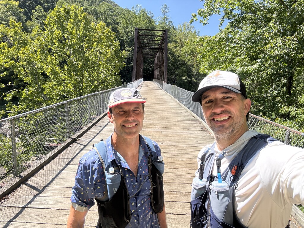
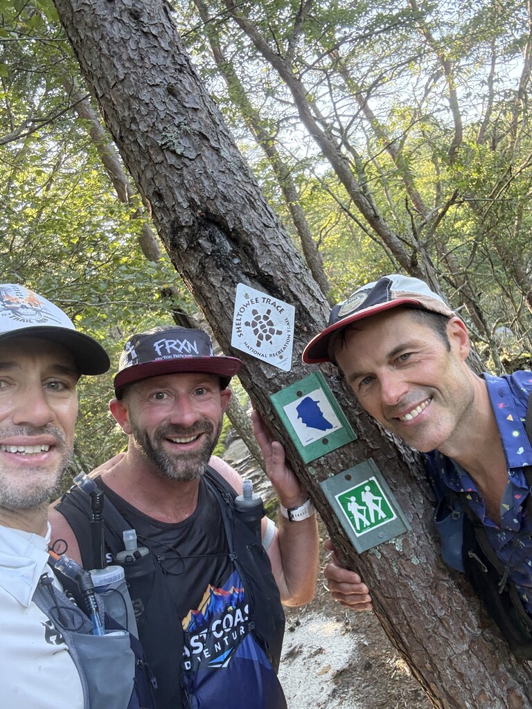
The John Muir Trail through Big South Fork National River & Recreation Area is a rugged point-to-point trail through the Cumberland Plateau of Tennessee. The route travels through remote forest, sandstone cliffs and rock shelters, creek drainages, overlooks, and sections that overlap with the Sheltowee Trace National Recreation Trail.
The trail is part of an established National Park Service trail system and connects several of Big South Fork’s best-known backcountry areas, including the John Muir corridor, Honey Creek area, and Burnt Mill section. The NPS lists multiple backpacking itineraries that use the John Muir Trail and describes the southern section near Honey Creek and Burnt Mill as some of the park’s more challenging terrain. National Park Service
This FKT route follows the established John Muir Trail alignment from the northern terminus near Pickett State Forest/State Park to Burnt Mill Bridge. It is approximately 48.5 miles point-to-point and should be followed continuously along the marked trail and submitted GPX. The route includes long stretches of remote singletrack, frequent elevation changes, technical footing, creek crossings, sandstone features, and navigation-intensive sections characteristic of Big South Fork.