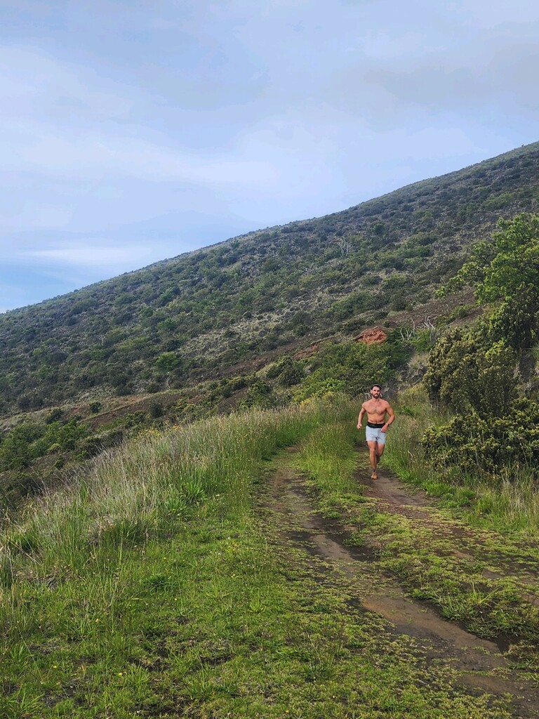
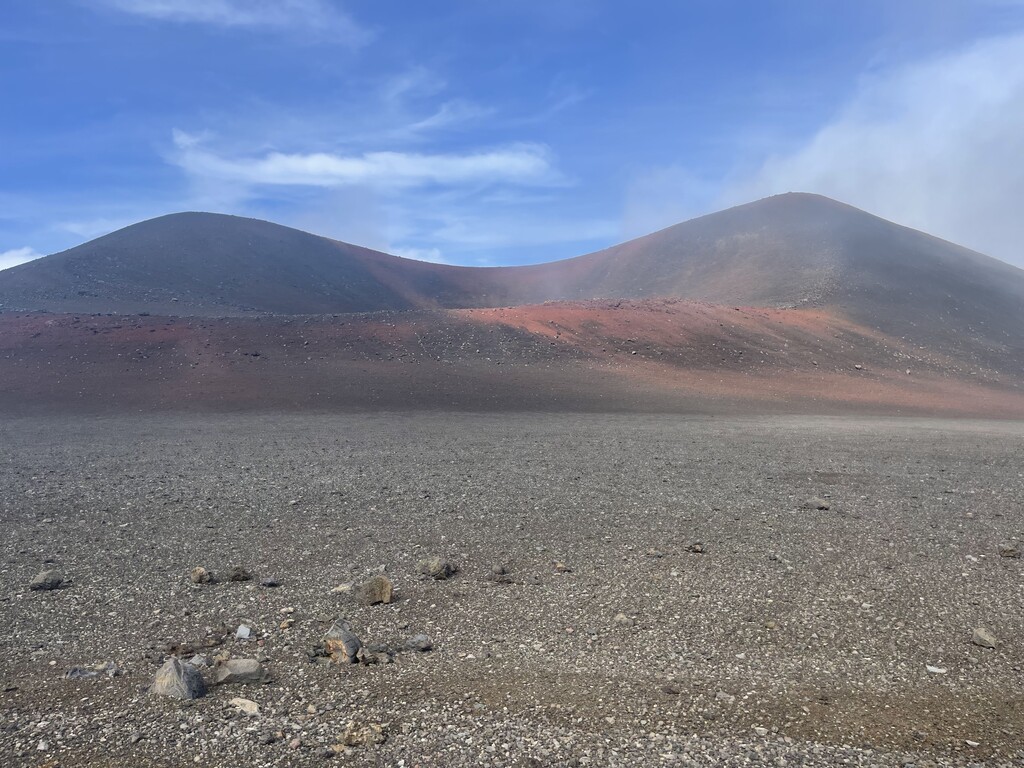
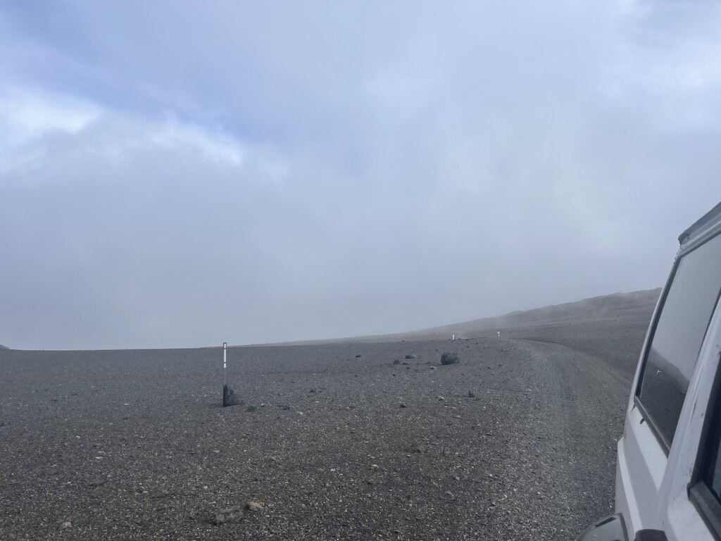
Roughly 36 miles of technical 4x4 road existing predominantly at 9,000ft and 8,000ft of elevation. Never going above 9,600ft and never going below 6,000ft. This route has about twice as much decent than it does elevation gain. It has just under 10,000ft of loss and 5,800ft of gain according to my watch. Starting at the visitor center of Mauna Kea the road wraps around the back of the volcano and descends the western slope to 6,000ft connecting to the old saddle road. This is one of the toughest point to point runs Iv experienced on the island as it is a harsh environment but very runnable. With all the decent it’s easy to run fast but with all the variables of high altitude, rocky terrain and a sneaky accumulation of uphill running it can present an incredible challenge. Mauna Kea is very much alive and full of emotion. This route will expose you to the emotions of the volcano for better or worse. Make sure to respect this route by being prepared and being aware of where you are. This is a special place for many reasons. If not careful Mauna Kea will eat you alive!