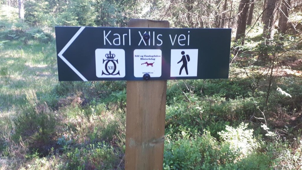
Translated from Ut.no: https://ut.no/kart/tur/1115022/karl-xiis-vei-svenskekongens-siste-felttog#11/58.852/11.6319
Swedish King Karl XII's path shows parts of the route his troops used on their last campaign against Fredriksten Fortress in 1718.
The trail goes from Asketjern by the Swedish border to Prestebakke, where the king had his camp. Furthermore, it goes through the hamlets of Buer, Bakke, and Fagerholt, and ends at Snekketorp on the Iddesletta plain. The trail is partly marked in the terrain.