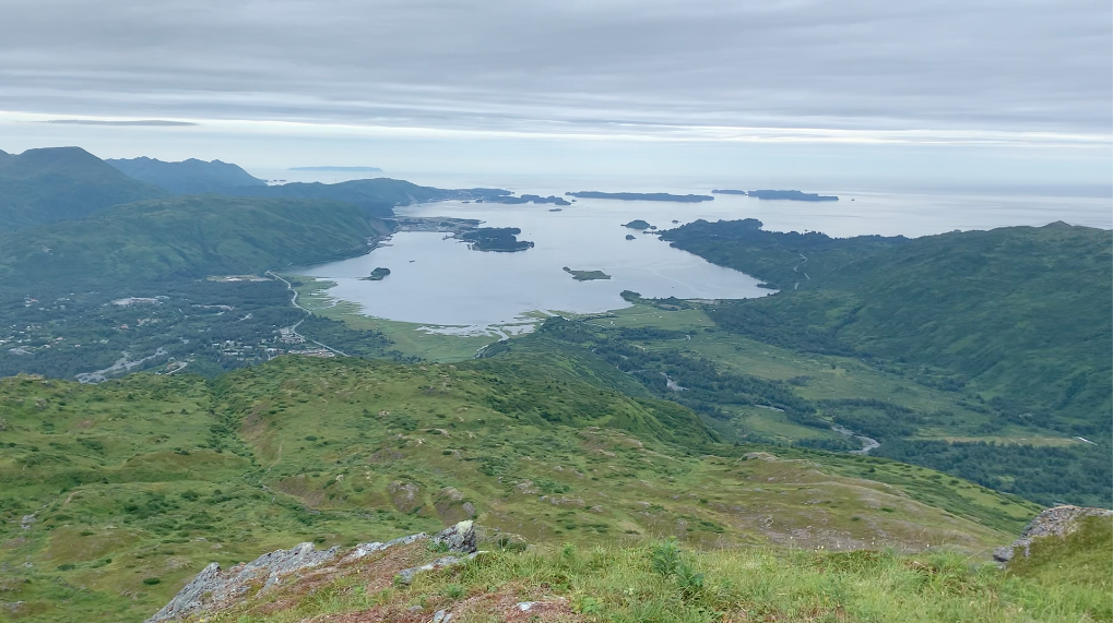
Kashevaroff Mountain is a 1,929' (587.96 m) peak that can be accessed off of the Chiniak Highway located on Kodiak, Alaska, and is marked with a small wooden sign across from the parking lot. The trailhead begins on a four-wheel trail in the Kodiak National Wildlife Refuge, winding through the muddy terrain and rolling hills until reaching rockier topography. While the trail is more moderate than difficult, bears sometimes frequent the area during the summer months, as the trail is located next to Salonie Creek and has tall brush surrounding the path. On sunny days, the view is incredible, looking endlessly towards Bell's Flats and Women's Bay, in the land better known as The Emerald Isle.
I recorded an elevation gain of 2,272' from the parking lot to the summit, with the distance tallying 3.2 miles, with an average grade of 13.4%.
The route can be found on a handful of trail sites, including AllTrails: https://www.alltrails.com/trail/us/alaska/kashavaroff-mountain-trail
There is a Strava segment for the ascent (if you want to claim an FKT you must beat the Strava times!): https://www.strava.com/segments/25854530