Location
Uttarakhand,
IN
Distance
9.28 km
Vertical Gain
1,835 m
Description
GPS Track
Kedar_Kanta_Summit_Ascent (1).gpx304.47 KB
FKTs
Male
| Varun Gunaseelan | 3h 51m 49s |
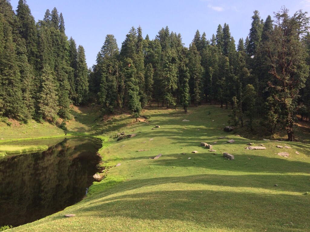
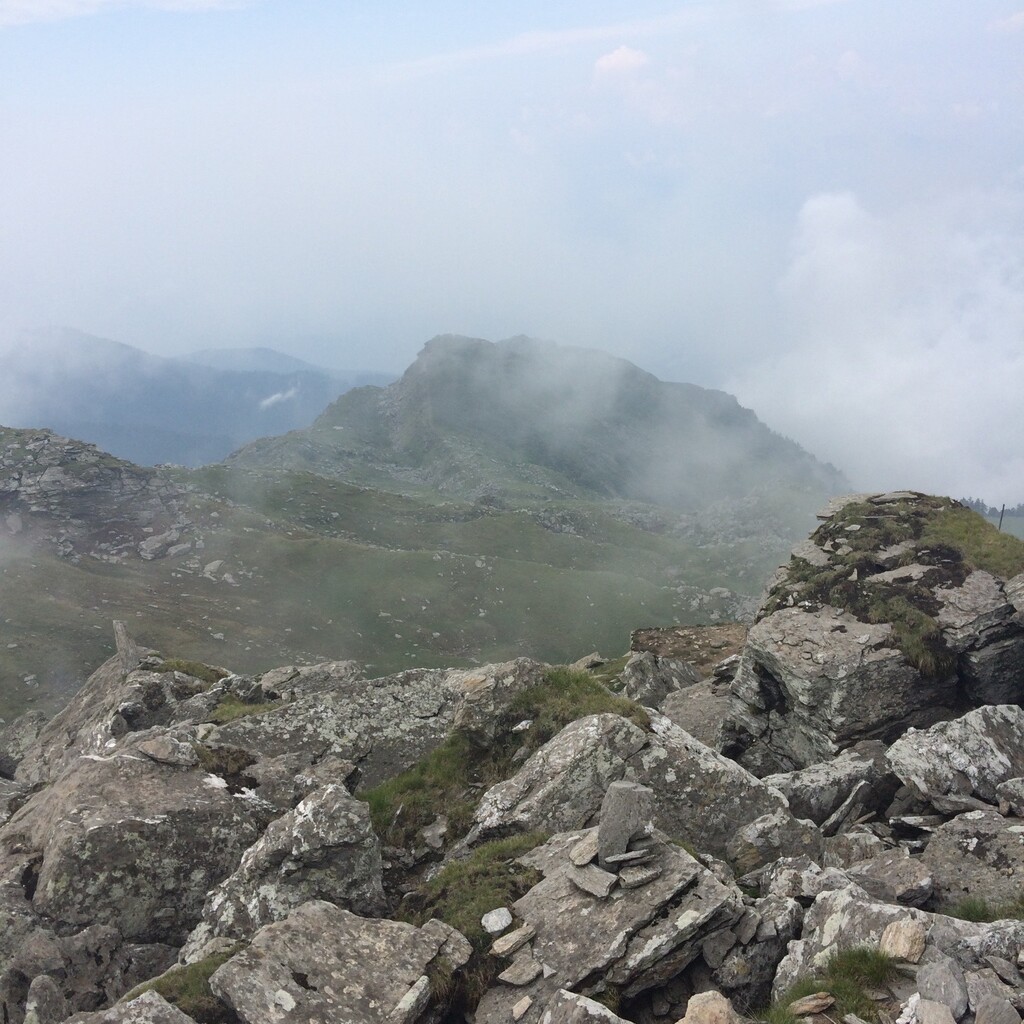
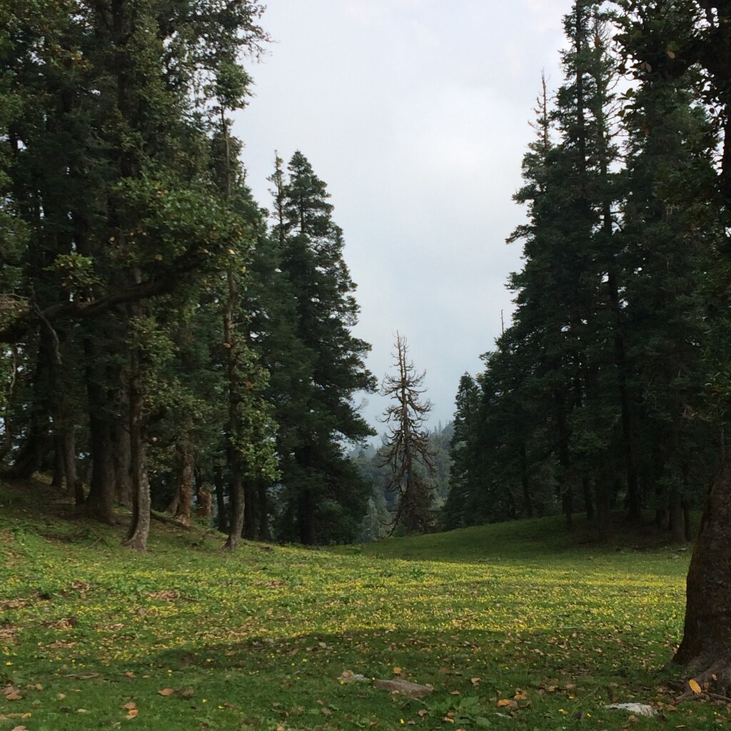
Images