KONJUH 4x4
Konjuh is a mountain in Bosnia and Herzegovina. It is located south of Tuzla in northeastern Bosnia, near Banovići, small town with rich deposits of lignite. It is a watershed between the Krivaja, Spreča and Drinjača river basins.
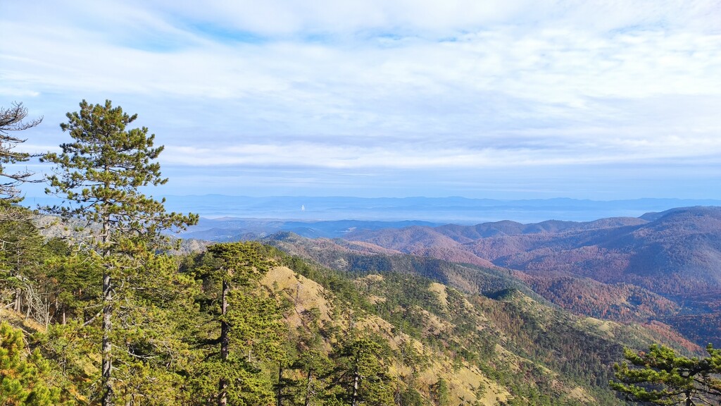
Mountain Konjuh is made of serpentine, diabase and tuff. It is 30 kilometers long with the highest peak at 1326 meters(Konjuh) above sea level.
The Konjuha massif is covered with dense forest communities in which conifers (pine, fir and spruce), beech, maple and, to a lesser extent, oak predominate. On the mountain grows a rare and medicinal lynx - gentian (Gentiana lutea), which is not endangered and protected. Mountain Konjuh is protected part of nature.
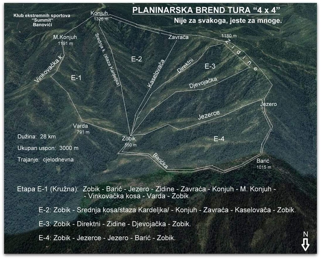
KONJUH 4x4 route is originaly created by Ivica Piljić, mountaineer and alpinist, and cover four track. All track start from Zobik, beautiful picnic area with mountain lodge.
Track 1 : Zobik - Barić- Jezero - Zidine - Zavraca - Konjuh - Mali Konjuh - Vinkovacka kosa - Varda- Zobik
Track 2 : Zobik - Kardeljka- Konjuh - Zavraca - Kaselovaca - Zobik
Track 3 : Zobik - Direktni - Zidine- Djevojacka - Zobik
Track 4 : Zobik - Jezerce - Jezero -Baric - Zobik
Konjuh 4x4 route is extremly difficulte and self supported. Route goes mostly by ridge and it is very dangerous. Most part of track are not runneble. Ridge is very slipperly and demands high level of concentration.