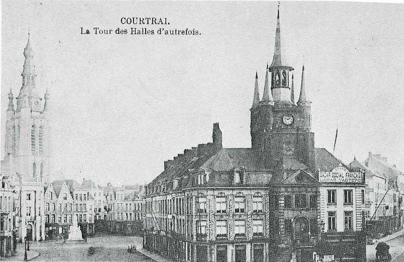
Route: Kortrijk-Oostende (Belgium)

Submitted by Foldyflap on Mon, 08/14/2023 - 08:16am
Location
Belgium
Distance
71.48 km
Vertical Gain
312 m
Description

A scenic route spanning nearly 72 kilometers from the biggest city in the south of West-Flanders, Kortrijk, to the biggest city at the coast, Oostende. This route crosses some historical important cities and villages in the region.

The route starts at the Belfry of Kortrijk, one of the city's most prominent symbols, the belfry formerly housed a treasury and the municipal archives, and served as an observation post for spotting fires and other danger. A narrow, steep staircase, accessible by the public without any entry fee, leads to the top of the building, which nowadays leans about a bit to the west. In 1999, the belfry was inscribed on the UNESCO World Heritage List.

The Drietrapssluis lock between de Leie en the canal Roeselare-Leie started construction in 1865 and consists of 3 steps in between to bridge the hight difference, a unique construction in the region.

The route also passes by the city of Wijnendale setting for The Battle of Wijnendale was a battle in the War of the Spanish Succession fought on 28 September 1708  between an allied force protecting a convoy carrying ammunition for the Siege of Lille (1708) and forces of Bourbon France and Spain. It ended in a victory for the allies, leading to the taking of Lille.

Ending at Fort Napoleon in Ostend is a polygonal fort built in the Napoleonic era. France had occupied the Austrian Netherlands (a territory roughly corresponding to the borders of modern Belgium) during 1792 and 1793 in the Flanders Campaign of the French Revolutionary Wars. During the War of the Fifth Coalition, Napoleon Bonaparte expected a British assault from the sea on the port of Ostend, and the fort was constructed in the sand dunes close to the mouth of the harbour in 1811. The British attack never materialised and the fort was used as for troop accommodation and as an arsenal until the end of the French occupation in 1814 when it was abandoned. The fort was used again during the 1st World War and the second World War, both times by the German forces.

Building on an existing cycling route.

GPS Track
Images