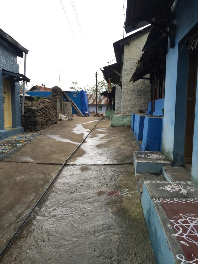
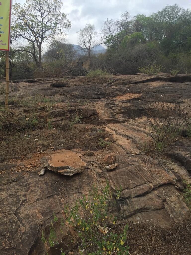
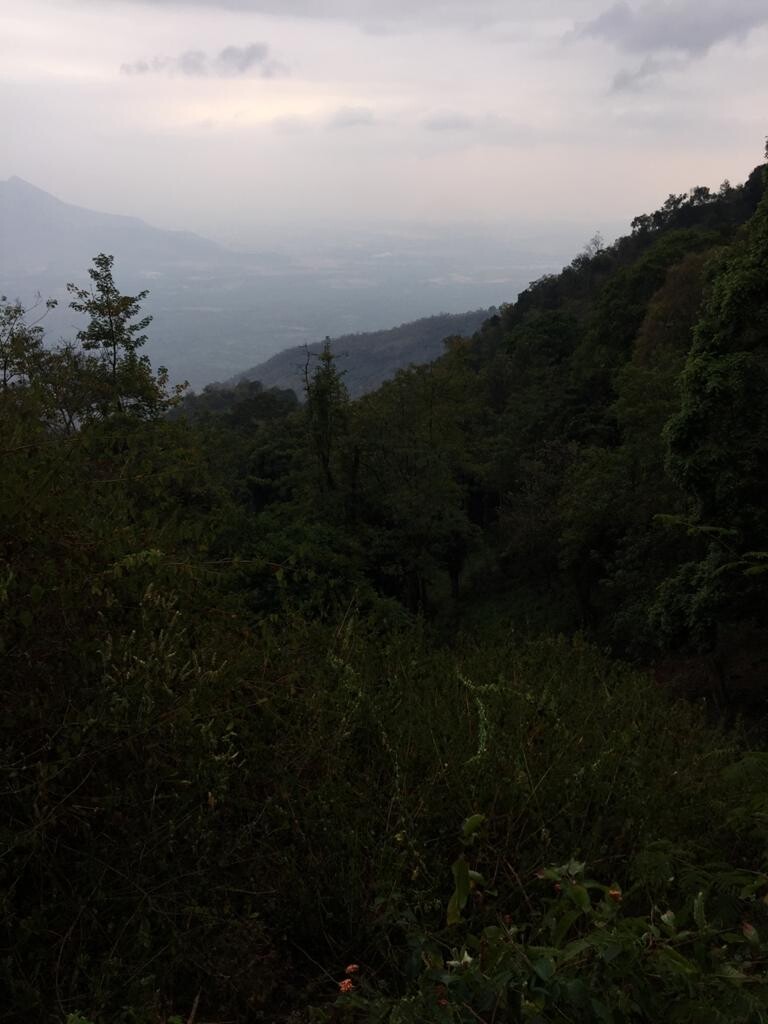
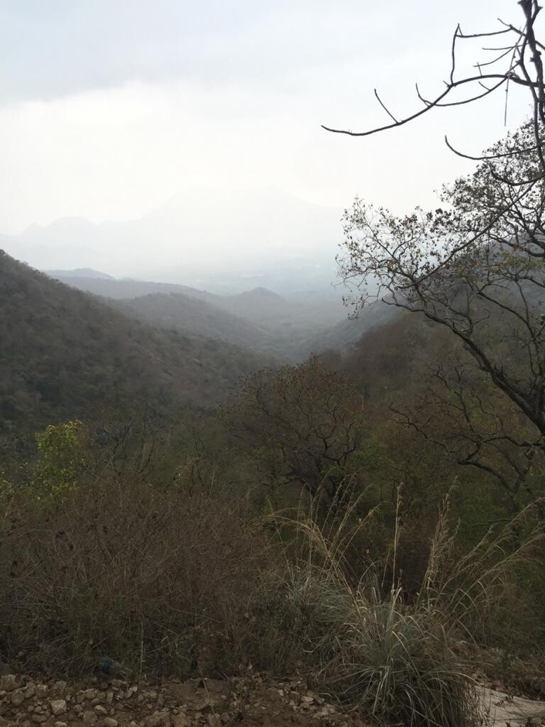
The route starts at the Kumbakarai falls. You cross the river and enter the trail beside the forest officer's check-post. The initial climb is steep and rocky through arid shrub-like vegetation. You soon enter a forest and the route goes through the base of a valley. The trail is clear as it is frequently used by villagers in Vellagavi. After 7km and nearly 1000m of elevation gain, you reach the village of Vellagavi. Villagers are friendly and warm, usually happy to see hikers. Footwear is not allowed in the village, so you may be requested to leave shoes at the entrance of the village by a well and a small temple. There is also a camping spot here for overnight campers. After the village, the route crosses a saddle before gaining a ridge and reaches the dolphin's nose tourist attraction in approximately 4km. The last kilometer or so of the trail is generally teeming with tourists. On the first 11km you may occasionally pass a local farmer or a forest official. The last km has steps made of living tree roots and crosses several shops before reaching the tar road which is the end of the trail. The route is one of the ways to get to kodaikanal town from the surrounding plains.