Kuwohi, the original Cherokee name for the highest point in the Great Smoky Mountains National Park (aka Clingmans Dome), rises to an elevation of 6,643 feet. Just 28 miles to the west, at the confluence of Abram Creek with the Little Tennessee River on Chilhowee Lake is the lowest point in the Park at an elevation of 873 feet. This FKT links these two geographic points and allows you to pick your own route so long as it meets the following guidelines:
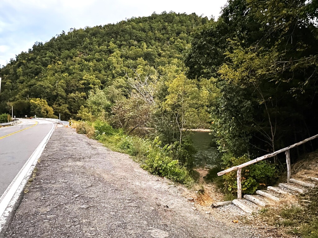
- Your route starts by touching the water of Abrams Creek at the bridge on HWY 129. On the east side of the bridge, there is a short trail giving access to the water (35.555510, -83.997976).
- Your full route is covered on foot.
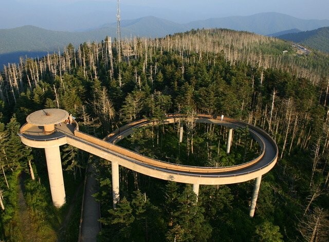
- Your route finishes with a climb of the Clingmans Dome summit tower. Time stops when you touch the center column of the tower on the observation deck. (35.562924, -83.498363).
This route is unique in comparison to the other FKTs in the Park in that it allows for a wide variety of running surfaces. From paved roads to flowing trails to some of the most technical sections of the high-altitude trails in the park, this route evens the playing field for distance runners of all specialties. Depending on your route of choice, you will also get to experience some of the gems of the Smoky Mountains, including Cades Cove, Abrams Falls, Rocky Top, Silers Bald, and Clingmans Dome! Regardless of your route of choice, you will likely run through the full range of the large diversity of ecosystems in the Smokies as you make your way from the lowest river to the highest peak.