Location
Quebec,
CA
Distance
82 km
Vertical Gain
4,200 m
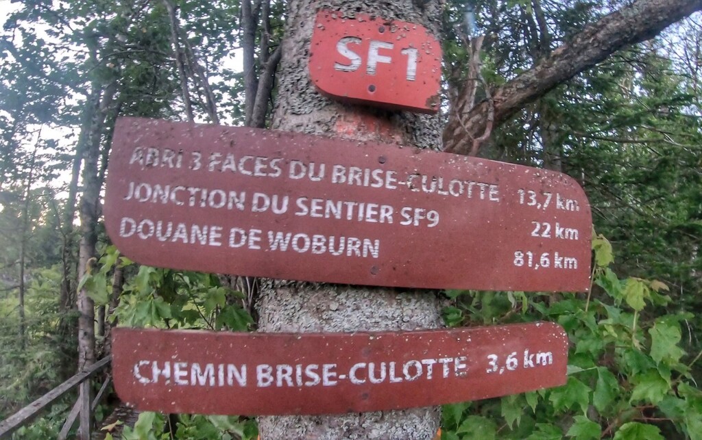
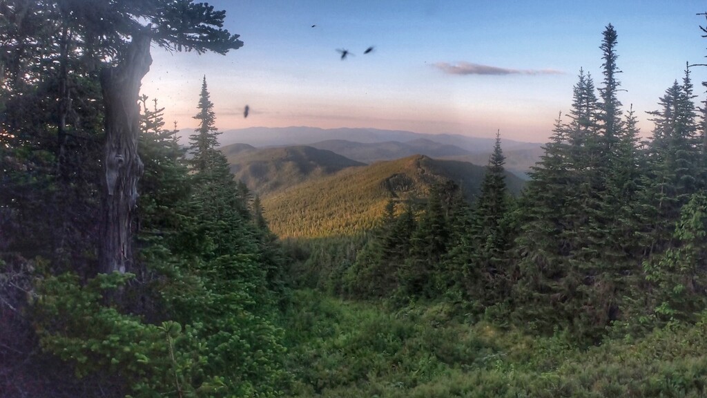
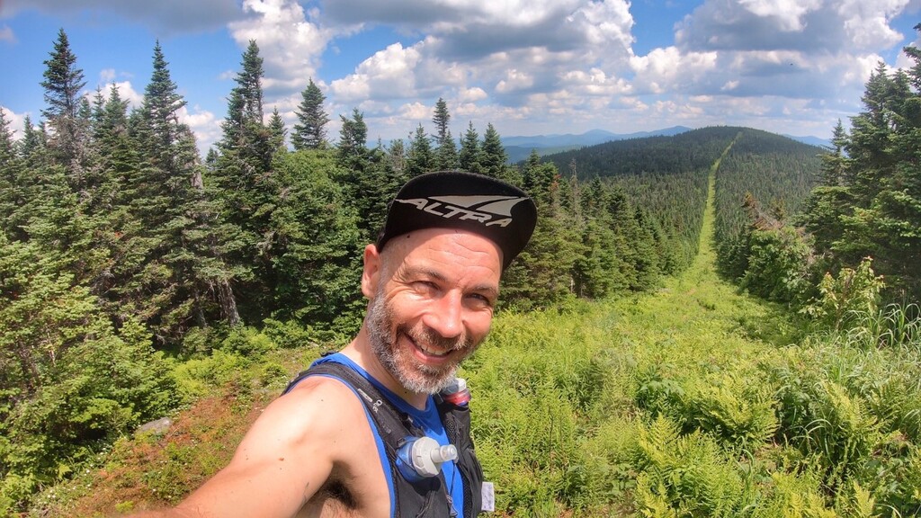
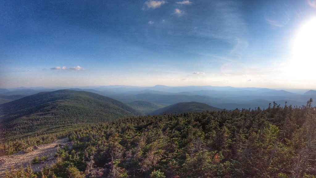
Description
GPS Track
FKTs
Male
Mixed-gender team
| Simon Côté | 18h 36m 53s |
| Marilyn Dube, Julien Bras | 23h 16m 13s |
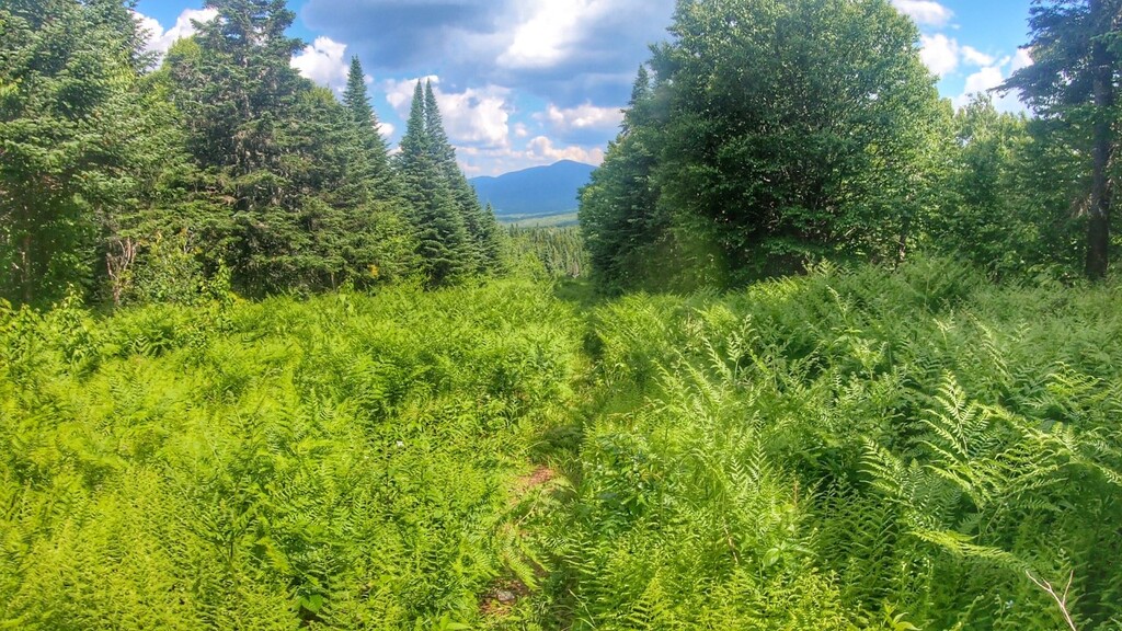
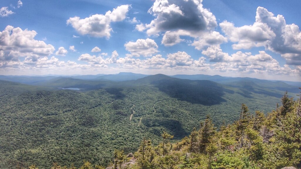
Images
Comments
Raymond Lanthier & Marc-André Brière
Will be attempting la Grande Traversée des Sentiers Frontaliers (FS1) from Chartierville to Woburn in 2 weeks on May 27th 2023.
This attempt will be supported.
On May 10th i will be attempting a self supported FKT attempt with Nicolas Chaput if weather and trail conditions are acceptable.
I will be attempting a self supported FKT Woburn to Chartierville May 18th 2024.
I didn't complete the crossing, my Strava let me down. See you next year.
Marilyn Dubé, Julien Bras and Hugo Scott. On July 12th, we will be attempting la Grande Traversée des Sentiers Frontaliers (SF1) from Chartierville to Woburn in a mixed-gender team. This attempt will be unsupported,
Attempt feedback is here: https://sidoine.org/outdoor/2025-07-sentiers-frontaliers/
We stopped at 53k in the route. Next year baby!
On septembre 20 2025, Will be attempting this FKT from woburn to chartierville in the unsupported style. It’s a solo attempt.
good luck w/ the water sources! On 08/31 I was around the Brise Culotte shelter, and the water level of the stream was very low.
I have put the water sources here on my caltopo map if you want for our july attempt: https://caltopo.com/m/0TRBK
Merci pour les informations Julien. C’est effectivement une année sec. Je vais préconiser d’apporter un plus grand volume d’eau et le tenir plein dès que l’occasion va se présenter.
I’ve switch my mind due to parking issue. I Will start from chartierville finally.
me again. ;)
on a nettoyé km 67 à 69 pour toi cette fin de semaine dans le cadre d'une corvée SF (ça c'était la bonne nouvelle), ça passera un peu mieux 😅
la mauvaise c'est que km 72 à km 81 (les 9 derniers km coté Woburn) sont fermé à partir du 20 septembre pour la chasse, c'est un terrain privé. Voir les infos sur le FB de sentiers frontaliers ici.
Mais le sentier sera là encore l'an prochain, il fait toujours parti de nos objectifs également! Et c'est un gros défi de le faire en unsupported!