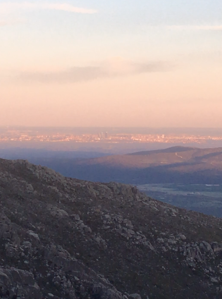
Triathlon: This is an interesting route because it connects a capital city to alpine environment combining biking, running and climbing in an authentic way. It is just 60km bike ride from Madrid and you are in a beautiful mountain environment (More often than not, alone!).
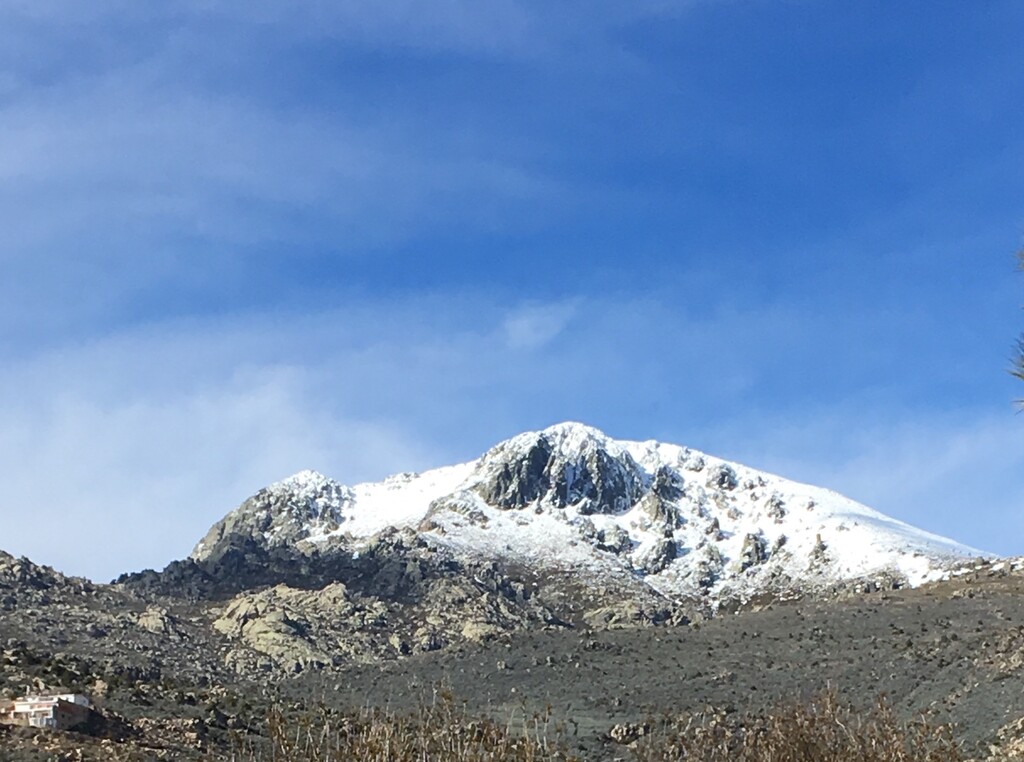
You bike from the city centre along a cycle greenway and a small sections of country roads to get to the sierra village of Mataelpino, you then run up the mountain called La Maliciosa. Reaching the base of the main buttress you climb a rock route Via Toñi. Tag the summit and then run back to the bike and bike back to the city.
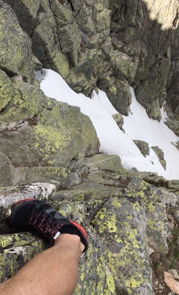
This route refers to summer or autumn conditions. The climbing route becomes a water ice route in winter.
Along Parque Madrid Rio, there is a cycleway, that if you were to follow entirely, leads you directly to the Sierra Guadarama. If you are feeling lazy and want to shorten the biking or want to miss the initial city section you can take the train to various stations along the route, as the cycle route loosely follows a train line. (Tres cantos, Cantoblanco etc.)
This route is starting from Principe Pio bridge. Follow the Anillo Verde Cicilista route in the direction against the flow of the river Manzanarez. Follow this route towards Manzanares el Real for around 40km.
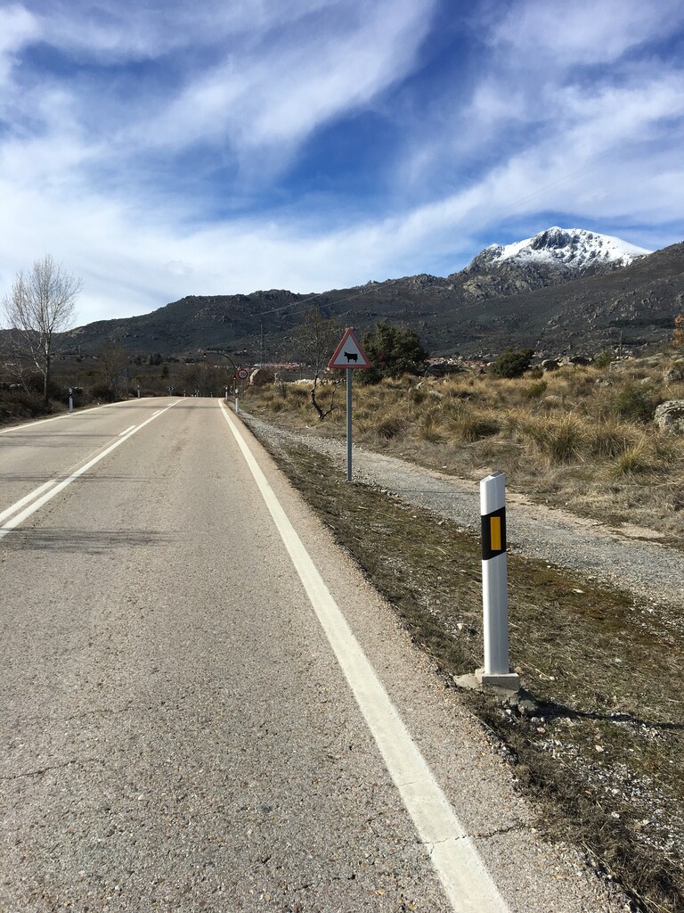
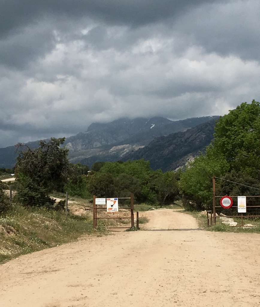
You will pass a small town called Colmenar Viejo on your left and on the junction with the bike path going over the motorway you take the M-607 towards Cerceda. Keeping on the M-607 after you pass the village of Cerceda you will meet a roundabout, take the first exit onto M-615. Just as you are coming into Mataelpino take the M-617 Calle del Guerrero. After 800 meters take a gravel track on your right Calle del Frontal. You will see a few houses and a swimming pool on your left. There is a gate as you enter the Sierra this is where you transition from the bike. Either locking it up to the railings or stashing it under a hedge.
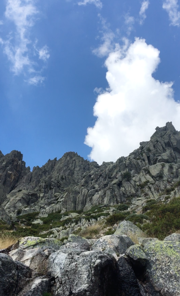
There are a few different paths that lead towards La Maliciosa, the most direct being a vertical KM. You want to stick to the most direct route going toward the rock buttress. Route finding can be challenging with so many paths, but you are essentially following a river up. This is frequently dried up so don’t depend on it for water.
Use a topo to reach the base of the climb. Climb the route named Via Toñi. (Plaza de Casscorro in Madrid has lots of climbing shops with rock climbing guides.)
Tag the summit and then run back down to the bike.
Bike the same way back to Madrid.
Totals are:
Cycle 120km 1000m-ish vertical gain.
Run 10km 800m vertical gain
Climb 230m about HS 4a British grade. UIIA IV+.
Unfortunately, I did not create a GPX file when completing this route so I have loosely plotted dots on google earth.
Pictures are in spring conditions.