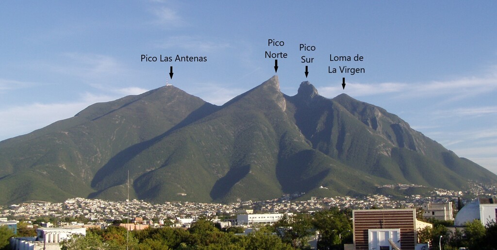
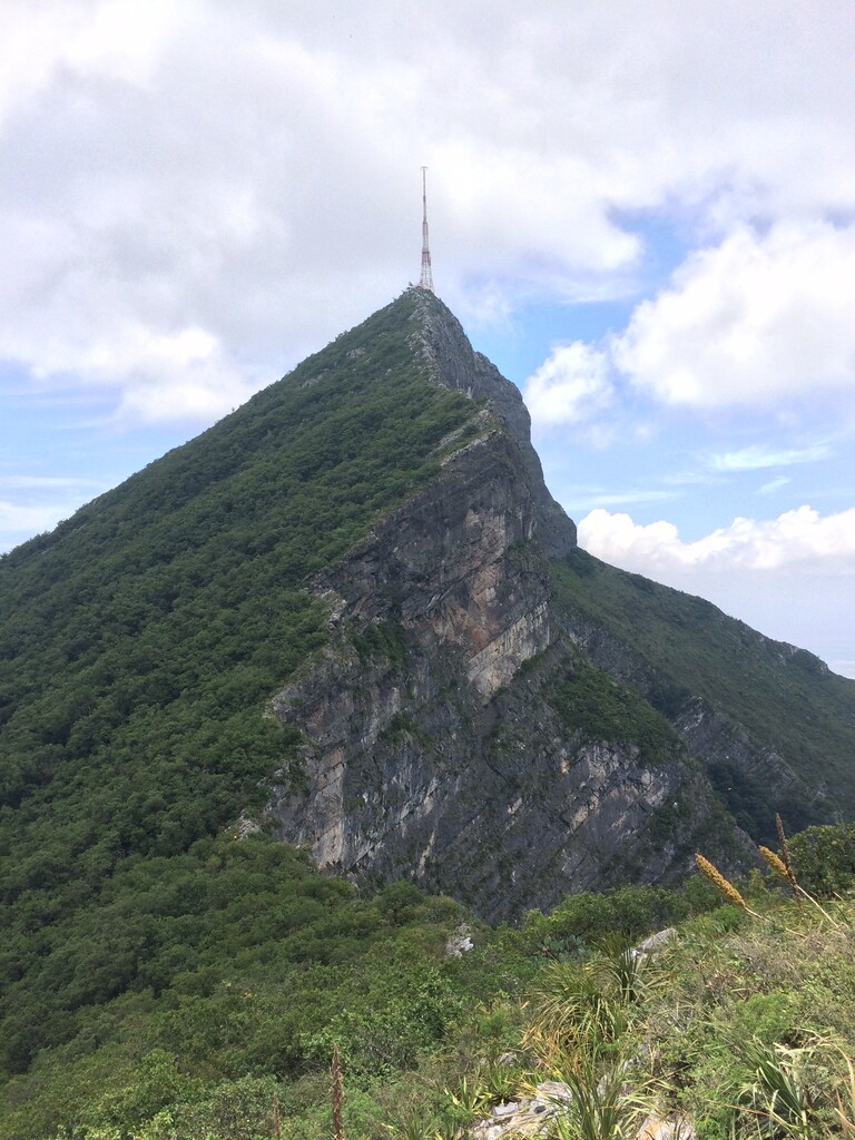
The Cerro de la Silla is the most iconic mountain of Monterrey (The City of Mountains). It is a Natural Protected Area categorized as a “Natural Monument” due to its astonishing geological features. Its name comes from its distinctive saddle-shape profile.
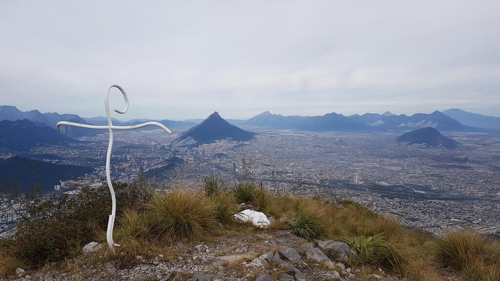
The “Sillalogía” route consists on summiting the 4 highest peaks of the mountain, starting from the street “Homero” in the neighborhood called “Contry La Silla 6to Sector”, and finishing in the entrance of “Subida al Teleférico” in the neighborhood called “Bosques de la Pastora 2do Sector”.
The route is 13.24 kms long, with an elevation gain of 1,699 meters.
The name and height of the 4 peaks are the following (summited in the respective order):
- Pico Norte: 1,821 Meters Above Sea Level (MASL)
- Pico Sur: 1,786 MASL
- Loma de la Virgen: 1,676 MASL
- Pico Las Antenas: 1,775 MASL
The trails taken are the following:
- “Ruta Miguel González” / “Ascenso Directo por Calle Homero”
- “Pico Norte” Summit
- “Camino hacia el Puerto del Oso”
- “Ruta Marcial”
- “Paso de los Arrepentidos”
- “Pico Sur” Summit
- “Paso de los Arrepentidos”
- “Ruta de San Ángel hacia Loma de la Virgen”
- “Loma de la Virgen” Summit
- “Ruta de San Ángel hacia Loma de la Virgen”
- “Paso de los Arrepentidos”
- “Ruta Marcial”
- “Puerto del Oso”
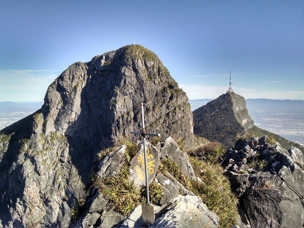
- “Cresta hacia Las Antenas”
- “Pico Las Antenas” Summit
- “Camino Empedrado” Descent
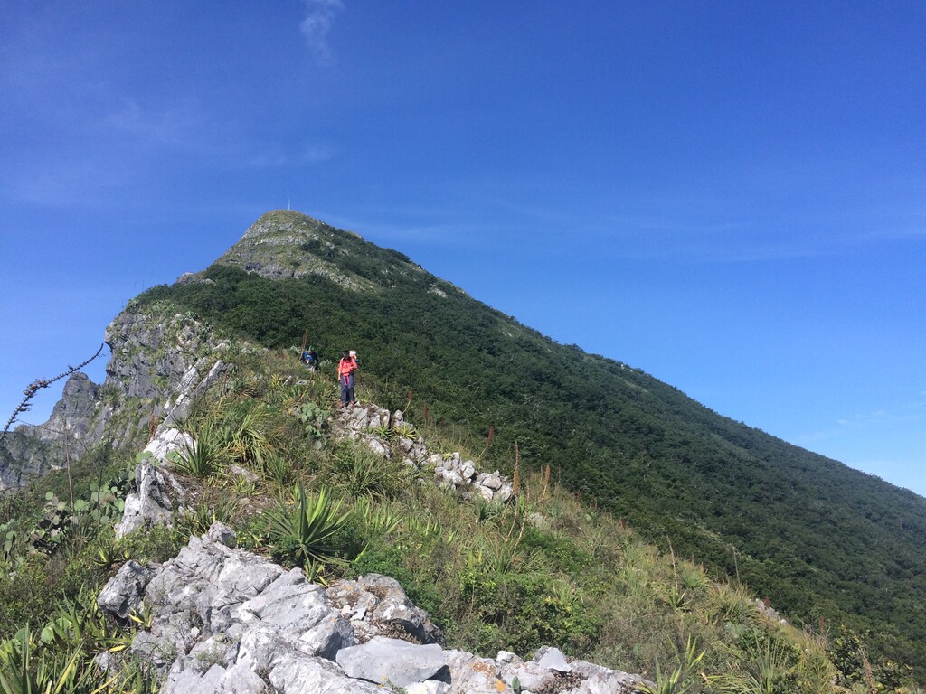
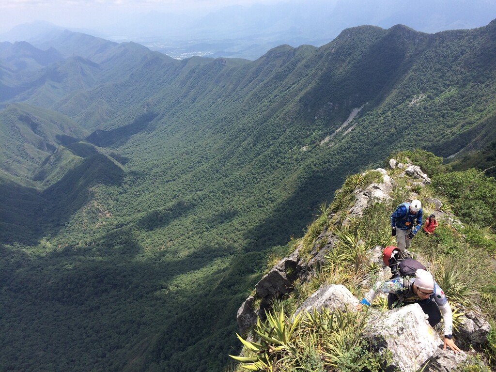
Most trails are not runnable and involve scrambling. Also, some trails are disturbed by bushes and wild succulents.
Comments
Looking at heading here in the near future. Are these actual trails, or is it more scrambling and "just go up"? Any beta would be helpful. Thanks!