Location
Nuevo León,
MX
Distance
20.09 km
Vertical Gain
1,913 m
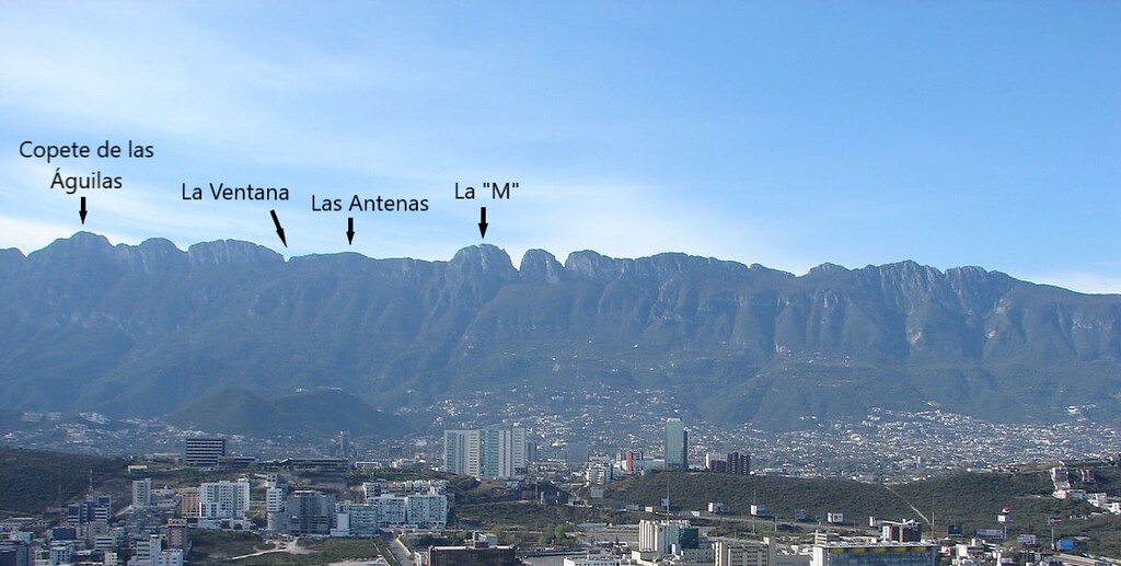
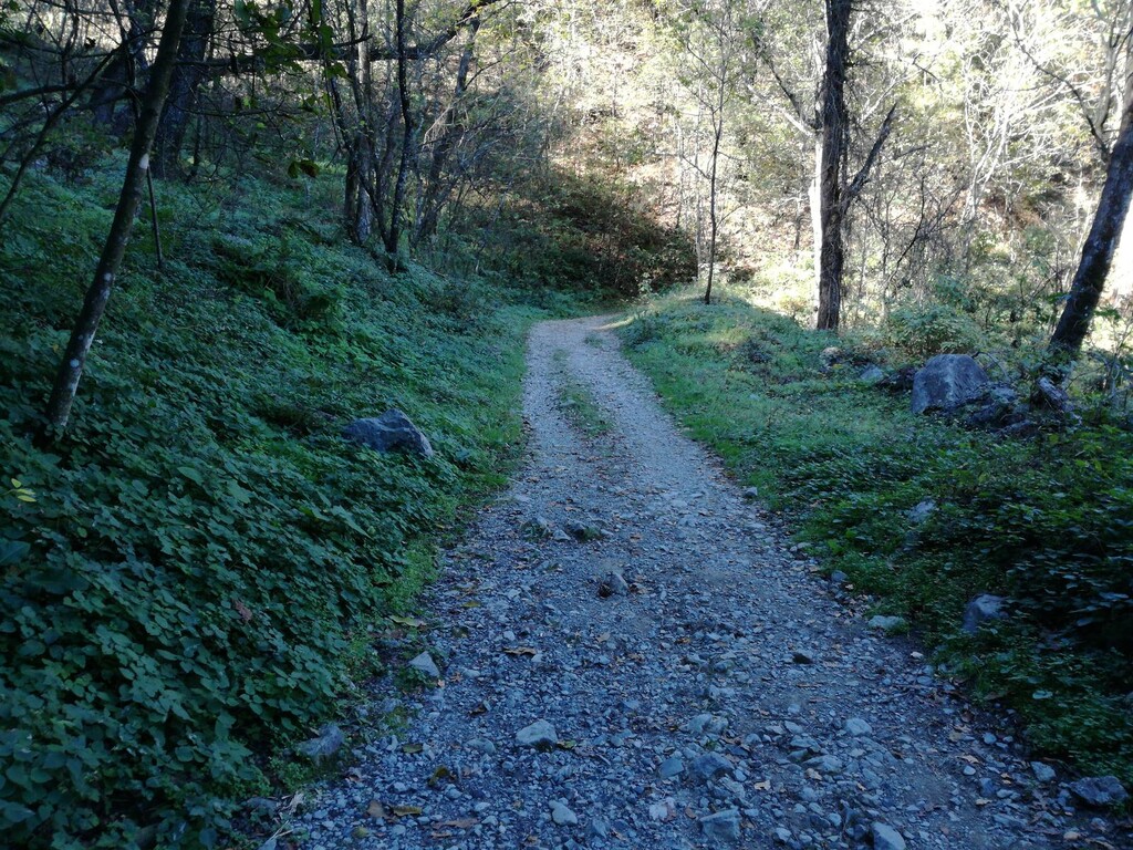
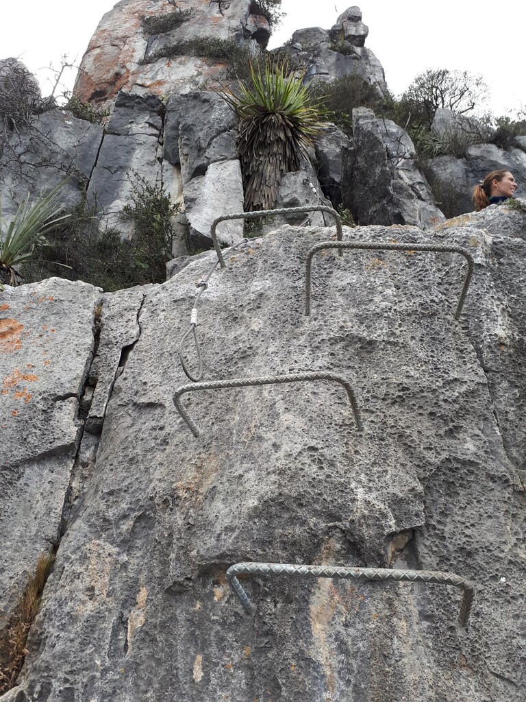
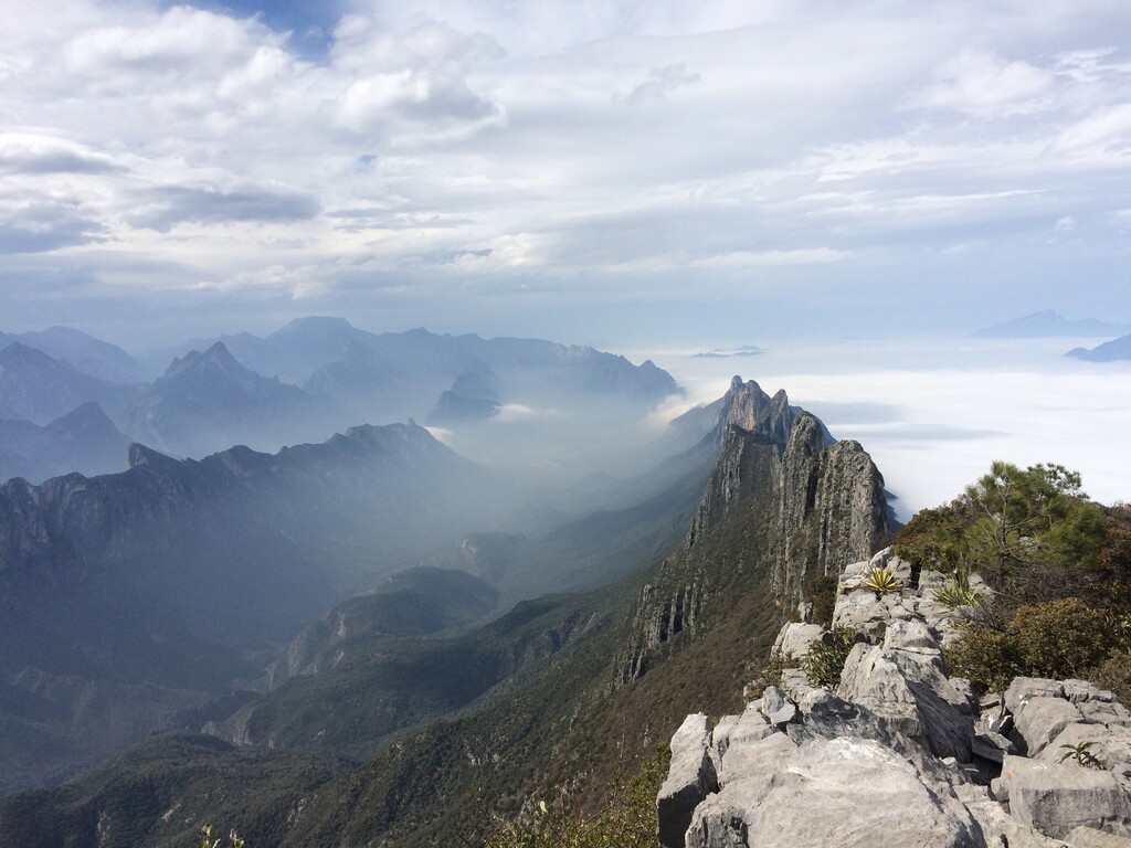
Description
GPS Track
Tetralogía Chipinque GPX.gpx2.57 MB
FKTs
Male
Female
| Patrick Scheel | 3h 48m 6s |
| Allison Baca | 5h 18m 40s |
Images