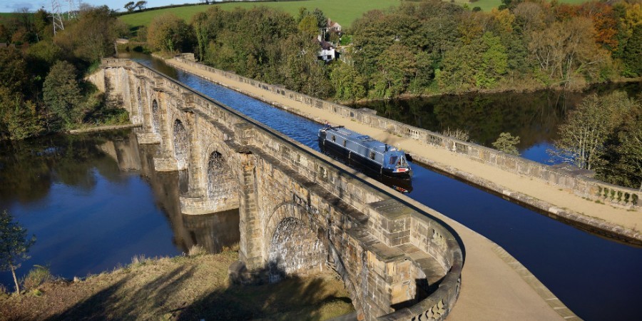
Location
United Kingdom
Distance
92 km
Vertical Gain
100 m
Description
GPS Track
Lancaster Canal.gpx171.84 KB
FKTs
Male
| Joseph Beech | 7h 43m 58s |
| David Moulding | 9h 49m 54s | ||||
| Ross Malpass | 9h 53m 7s |
Images
Comments
I will attempt to complete a supported FKT attempt of the route on 03/08/2019, traveling North from Preston to Kendal.
Update: I will now probably start in Kendal and run south to Preston. There are repair works and a small diversion in place at Stainton, I have contacted the Canal River Trust about an advised best alternative route for this section, sticking as closely as possible to the Towpath and with the least amount of disruption.
I will be attempting to go under the current FKT on the Lancaster Canal route on Monday 20th July 2020, travelling from North to South (Kendal to Preston). As well as GPS tracking, I will also be using Garmin LiveTrack and will publish the link both on the day and on social media for transparency.
I plan to attempt this route tomorrow, hoping to set a new unsupported time. My aim is to go faster than the current supported time. We’ll see.