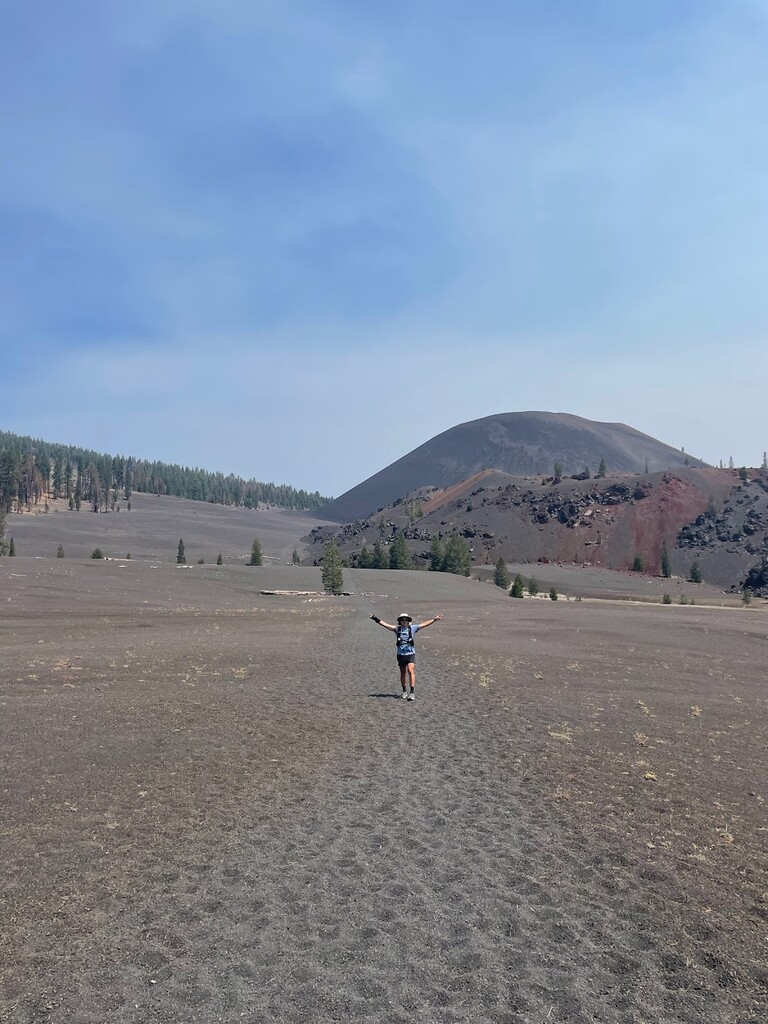
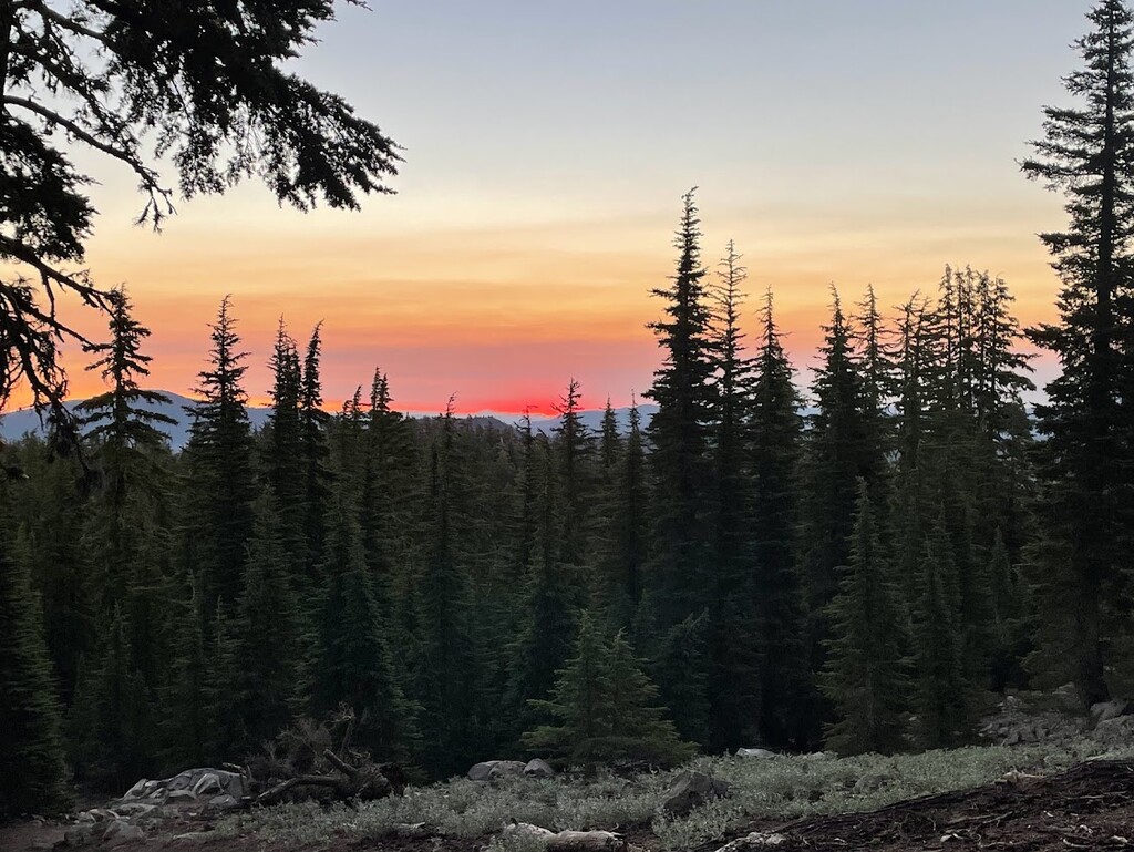
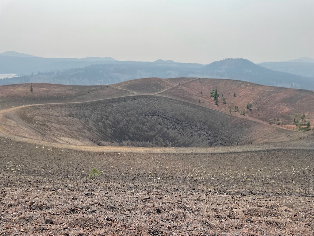
Lassen Volcanic Ntl Park is one of the few places on earth that contains all 4 major types of volcanoes: plug dome, composite, cinder cone, and shield volcanoes. These volcanoes are within relatively close proximity from each other. This is a point to point route and crosses varied terrain of conifer forests, active hydrothermal fumaroles and mud pots, volcanic peaks and sandy deserts, and alpine lakes and meadows. This route follows all established trails and roads as the backcountry routes tread on sensitive and potentially unstable, volcanic terrain. There does exist a winter ski backcountry route that does not follow any trails.
Start at Brokeoff Peak trailhead, south of the Kohm Yah-mah-nee entrance. Summit Brokeoff (composite) and return to the trailhead. Refill water at the Kohm Yah-mah-nee Visitor Center. Travel along the Lassen Peak Hwy (89) to Lassen Peak trailhead and summit Lassen Peak (plug dome). Return to Lassen Peak Hwy and take Paradise Meadows Trail towards Cinder Cone. The route follows several trails including Echo Lakes/Twin Lakes Trail and Butte Lakes to Snag Lake Trail. Summit Cinder Cone (cinder cone) and then head NE towards Prospect Peak Trail. Summit Prospect Peak (shield) and finish at Cinder Cone Trailhead at Butte Lake Campground.