On 21 May 1982 during the Falklands conflict, British military ground forces landed around San Carlos Water to commence ground operations to liberate the British dependent territory from Argentine forces. After almost 4 weeks of intense battles throughout the island which caused nearly 900 fatalities, the Argentine forces in the capital settlement of Stanley surrendered and hostilities ceased.
Although the exact route the land forces marched on cannot be traced for safety reasons (legacy minefields), this route represents the advance of British land forces from San Carlos on the West coast through to Stanley on the East.
The route starts at the entrance to San Carlos settlement and follows the dirt road south to meet the Darwin Road. Athletes will then follow the Darwin Road from west to east (largely gravelled road) all the way to Stanley before the final few hundred metres down Reservoir Road to Ross Road and placing a hand on the 1982 Liberation Memorial to finish.
Due to the sparsely populated territory and no access to shops and or resources along the route, Athletes will likely need to cache/carry all supplies along the route or have support; Although this submission is intended to be unsupported or self-supported. Facilities including shops and a hospital are available in Stanley at the finish.
The climate can change rapidly but is mostly temperate to cold/snowy with extreme wind experienced all year round.
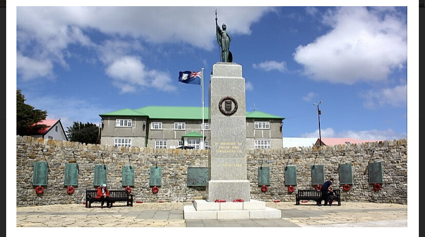
Image 6311 - Liberation memorial at Stanley.
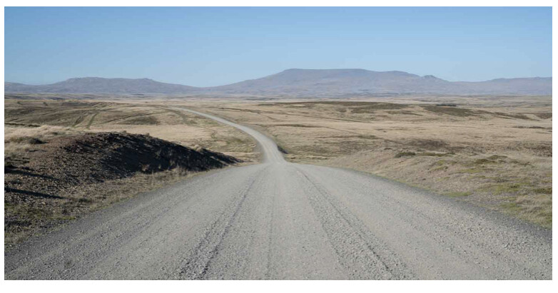
Image 6312 - Darwin Road typical terrain.