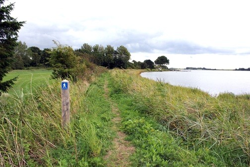
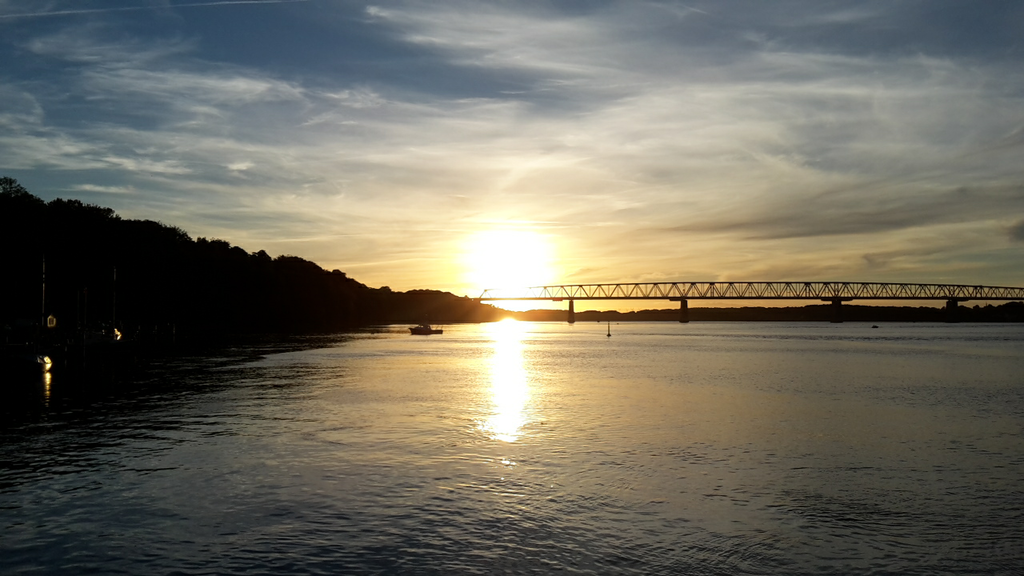
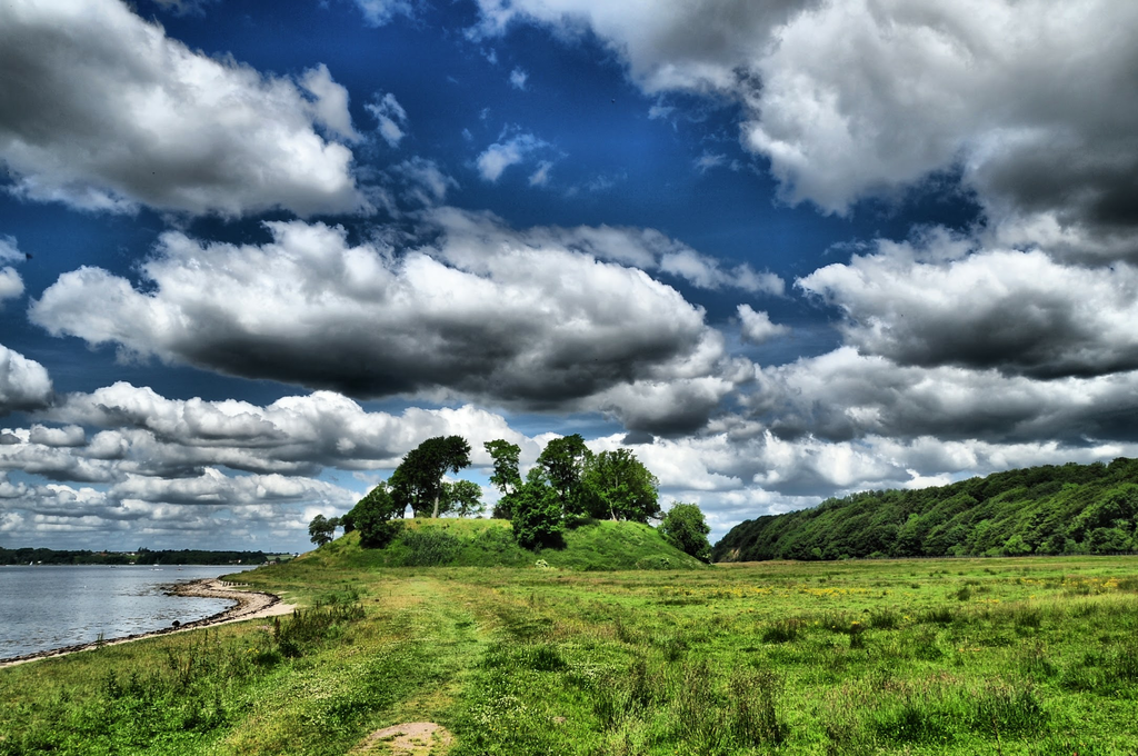
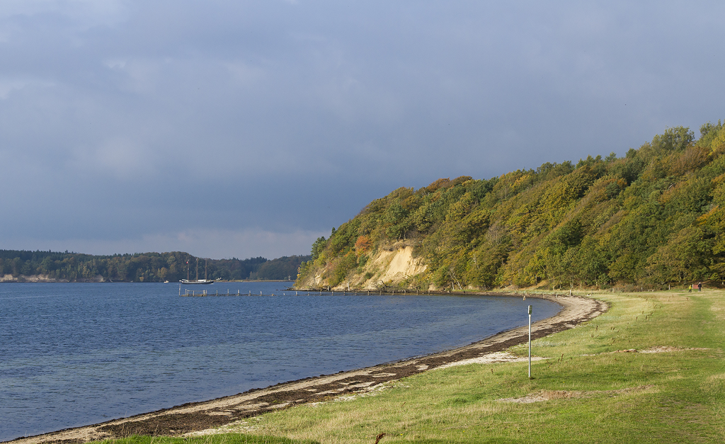
Route: Lillebæltsstien (Denmark)

Submitted by Jesper Løvetofte on Sun, 03/21/2021 - 11:49am
Location
Denmark
Distance
26 km
Vertical Gain
500 m
Description

Lillebæltsstien (in english: Lillebaelt Trail) is a footpath mainly on dirt/gravel trails, single trails and a few sections on concrete/pavement. I connects the small towns of Strib in the north and Gamborg in the south. The trail is well marked with blue signs all the way, and with a few exceptions it follows the paths closest possible to the sea. The trail passes through iconic coastal landscapes, beaches, steep slopes, cozy towns, open fields and forests. 

The northern end of the path is marked by a sign at the junction of the two roads "Nørre Allé", "Dæmningen" and the footpath "Strandstien". The southern end of the trail is marked by a sign next to the church and cemetery in the small town of Gamborg.

In periods with heavy rainfall the trail can be quite muddy in the southern part, but it dries up nicely after a few dry days.

Description (in english) of the trail: https://www.middelfart.dk/~/media/Files/Miljo%20og%20natur/Lilleb%C3%A6ltsstien%20folder%203-fl%C3%B8j%20engelsk%202021.ashx 

Video presentation (in danish) of the trail: https://www.youtube.com/watch?v=IjggFVdlBw4&t=31s

GPS Track