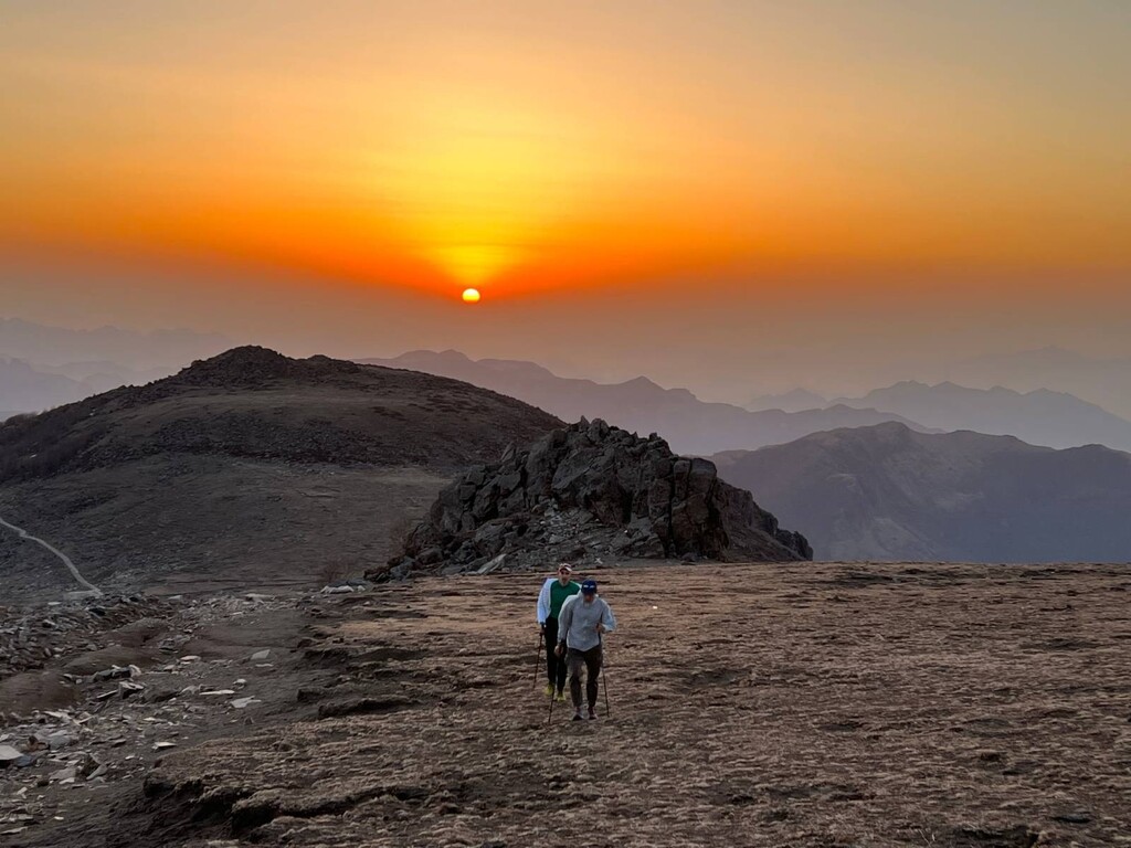
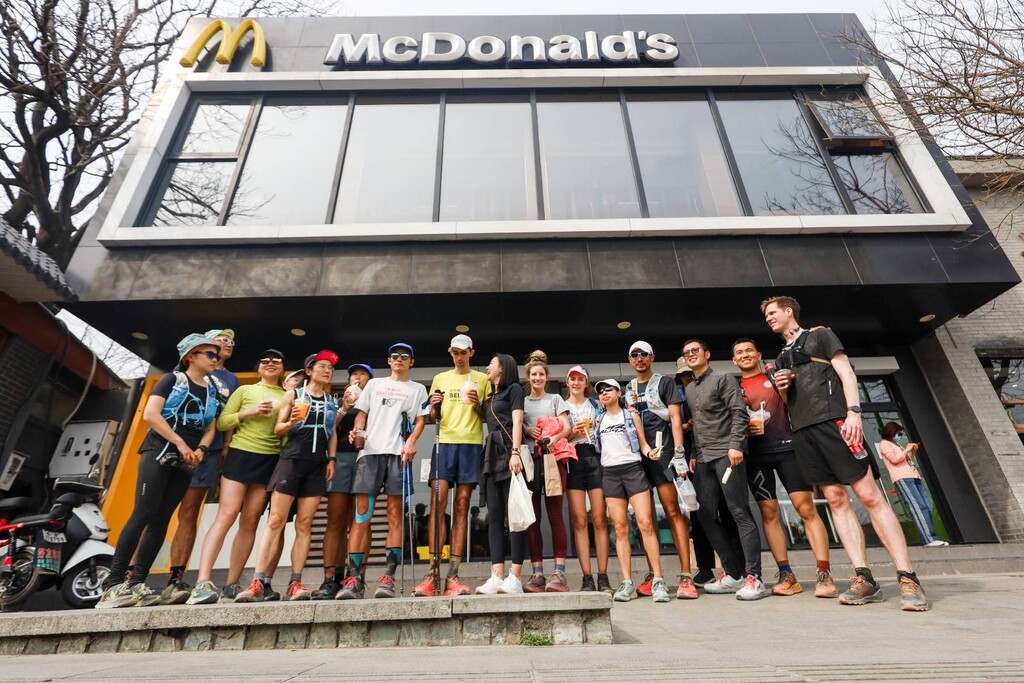
This route covers all of the mountains to the west of Beijing, starting at the border with Hebei province and ending where the mountains give way to urbanised lowlands. It starts at the village of Jiangshuihe (江水河) at the foot of Dong Lingshan, Beijing’s highest peak at 2303m, and ends at the Xiangshan MacDonalds, a landmark and meeting point for Beijing hikers and trail runners.
Start by climbing Dong Lingshan, then turning back and heading towards Bei Lingshan and following the route eastwards from there.
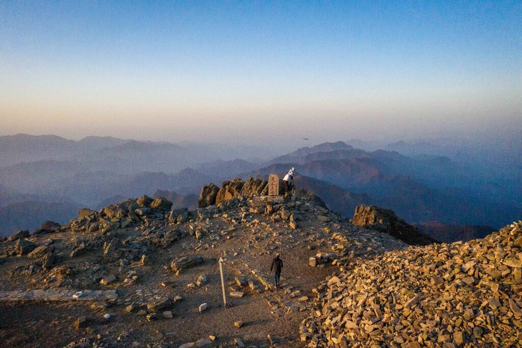
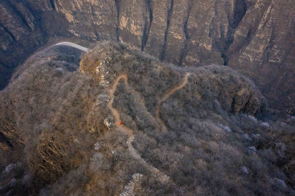
The route is long, technical and includes a number of obstacles and unpredictable elements (see below). The terrain covered can be roughly divided into three sections - high mountain (c. 1600-2300m elevation) meadows and forests from Dong Lingshan to Longmen Kou (35km), deep gorges from Longmen Kou to Jiuhe Gou (34km), and rocky, shrub-covered paths (familiar to Beijing runners) from Jiuhe Gou to Xiangshan (64km). The sections are quite distinct and all extremely beautiful - the finest scenery on offer in Beijing!
The route took us over 33 hours. We recommend departing from Jiangshuihe at sunrise, with the aim to arrive in Xiangshan in the afternoon of the following day. That way you only need to run through one night on the trail. You also avoid the most crowded times on, for example, the slopes of Lingshan, and the possibility of being refused entry by local officials.
The hardest part of the route for us was Henan Tai (河南台) to Chanfang (禅房), which we covered between the hours of about 00:00 and 06:00 - a long night of steep climbs and descents.
Logistics and practicalities:
We were supported by a crew with cars. They met us at a number of points where the route crossed major roads, though we still had to cover sections as long as 22km without support. Though the route passes through a number of villages, not all of them have shops, so it would be difficult to do this route without a support team.
We stayed at the Haozailai (好再来) guesthouse in Jiangshuihe, which was also our start point. The owner is familiar with trail runners and welcoming.
Spring and autumn are the best seasons to do the route. In summer it would be very hot, with little shade and few places to top up on water. Winter is doable, but one would have to choose days with relatively warm weather and without wind – Lingshan is very exposed to bitter north westerly winds in winter - and make sure to pack the right equipment.
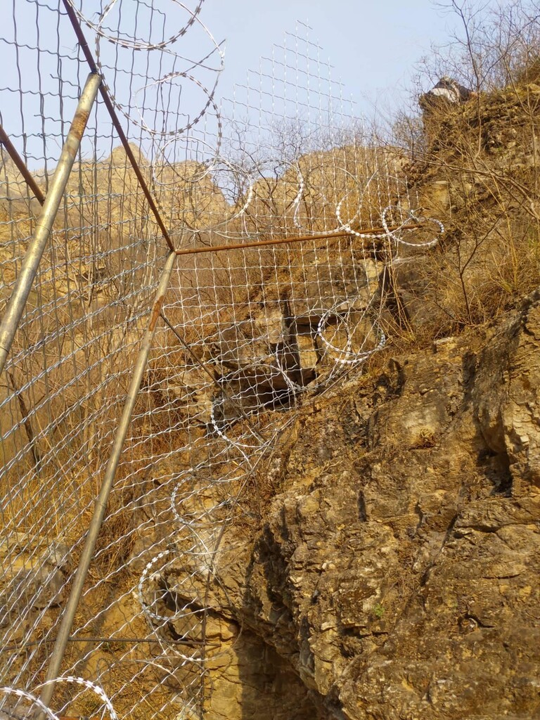
A few areas that are deserving of extra caution:
- Just before arriving in Zhuwo Village (珠窝村) the route crosses a river that needs to be forded. The river is directly downstream from a reservoir and dam. In normal times the water level is very low, but sometimes the reservoir releases water, in which cases water can be waist level and higher. Fording it is dangerous. There might be a way to scale the dam and cross the river that way, but we did not find it - that is worth investigating however.
- On some sections of the route local officials are discouraging of people hiking/running in the mountains. In particular, the section between Zhuwo Village (珠窝村) and Jiuhe Gou (九河沟) has been blocked on both sides with 3 metre high razor wire fences (!). This can be skirted by climbing the rocky escarpments on either side of the fences, but we urge caution as doing so is far from safe.