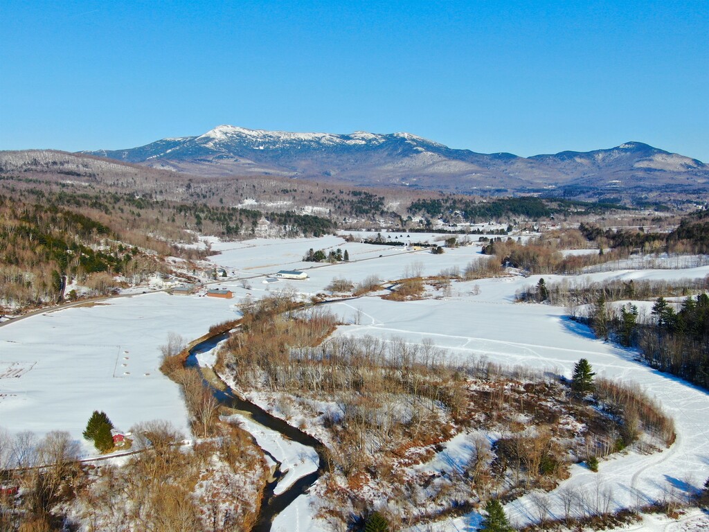
Route: Long Trail: Bolton - Mansfield (VT)

Submitted by Mike Willey VT on Thu, 08/13/2020 - 11:43am
Location
Vermont, US
Distance
16.44 mi
Vertical Gain
6,266 ft
Description

A popular section of the Long Trail near Burlington, which is the highest population of the state. It runs the ridge line between Mount Mansfield and Bolton Mountain. The views are classic Vermont. It is the most rugged section of the Long trail and is easily accessible by most people from the Burlington area by using the access trail from West Bolton. It ends on mount Mansfield, which is Vermont’s highest peak, and cuts down to the Underhill state park. 12 of the 14 miles is the Long Trail, with short access trails to get on and off at easy access points. 

This route starts at the old Long Trail trailhead on Notch Road, West Bolton (roughly .5 mile south of "Preston Pond Loop" trail parking). There is a small pull off there on the east side of road, to the west side of road there is a sign that says "no parking" on a private driveway, this is the trailhead. Climb the old long trail section following blue blazed trees, to gain the ridge and meet up with the Long Trail. The Long Trail is white blazed trees.  Start up LT North and follow this over Bolton Mountain, Mount Mayo, Mount Clark, Sugarloaf Mountain then head up to the gem, Mount Mansfield. Follow the Long trail to the forehead, the nose and continue along Mansfield ridge staying on the Long Trail. Just before the chin head left for sunset ridge, (no sightseeing today, your going for an FKT!). Descend sunset ridge and then turn right onto the CCC road headed toward Underhill State park. Take the Eagle Cut trail for about .5 mile and trail ends at the Eagle Cut parking lot. 

(Or you can do the route in the opposite direction.)

GPS Track
Images