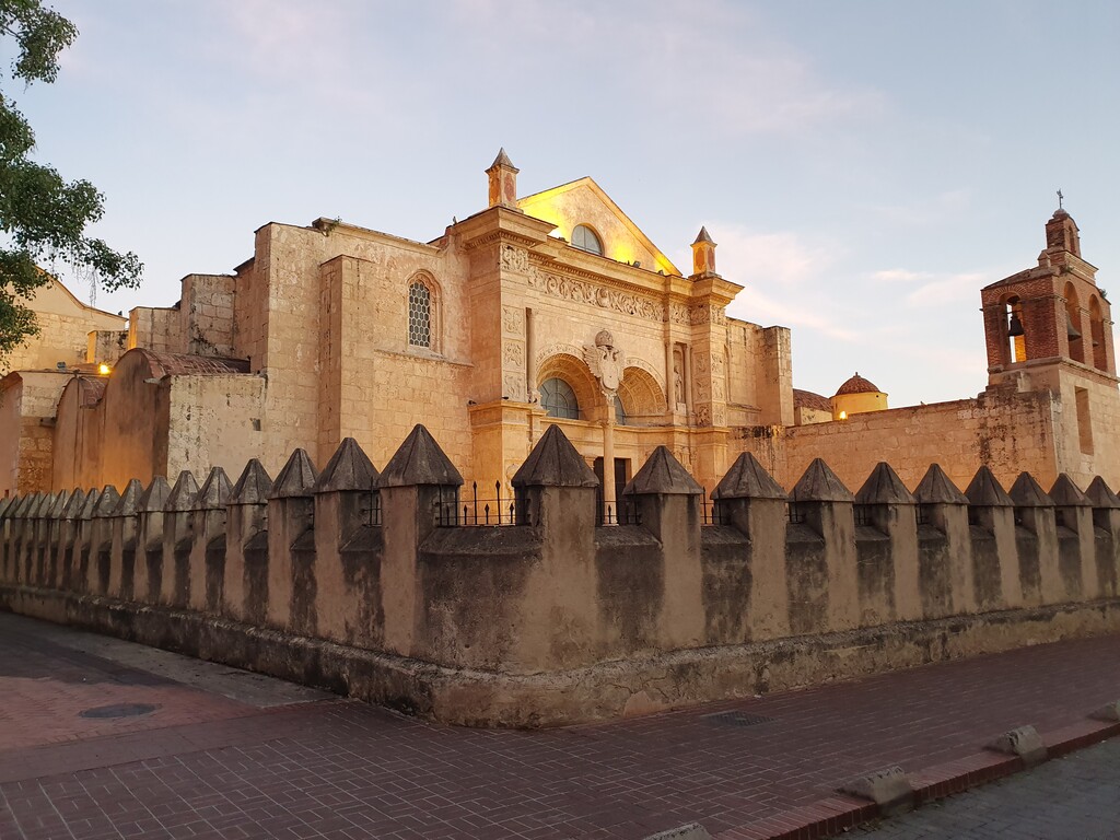
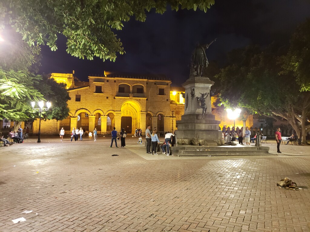
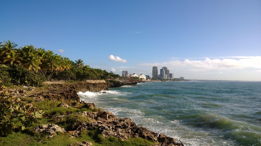
The course was born with the idea of connecting the biggest green areas of the city of Santo Domingo which happens to be as well the most frequently used parks and roads by runners and cyclists. It starts and ends in front of the iconic Blue Mall, in the modern district of the city and while passing through or in front of very well-known parks, it leads you to discover modern buildings, the Colonial City in front of the Caribbean Sea, and several historic monuments like the First Cathedral of the Americas or the Fortaleza Ozama, a riverside fort 500 years old. Following the Malecón, the south seafront boulevard—officially called George Washington Boulevard, which is full of luxury hotels, monuments and parks, you will be heading west and, almost at the end of the course, you will find the famous Mirador Sur Park that, with a stretch of 5km, is often used for road racing and daily by thousands of runners.
In synthesis, all of these parks and roads are used for running but not all at once and connecting them all give us a nice 50K road ultra.
Here is list of the parks and points of interest:
Parque Ambiental José Nuñez de Caceres
Parque de las Praderas
Club Los Prados
Parque Urbanización Fernandez
Proyecto Ambiental Urbanización Fernandez
Club Paraiso
Jardín Botánico
Bosque de la Vida
Parque La Arboleda
Centro Olimpico
Parque Iberoamérica
Parque Independencia
Calle El Conde
Catedral Primada de America
Plaza España
Fortaleza Ozama
Parque Rosado
Parque Montesino
Parque San Gil
Parque Miguel de Cervantes
Parque Eugenio Maria de Hostos
Obelisco de Santo Domingo
Playa de Guibia
Parque Rodo
Parque Paseo de los Heroes
Parque Centro de los Heroes
Fuente Centro de los Heroes
Parque Mirador Sur