The MacLehose Trail is a 100-kilometer hiking trail that crosses much of the New Territories, Hong Kong, starting from Pak Tam Chung, Sai Kung, in the east to Tuen Mun in the west. The path is marked by distance posts at 500-meter intervals. The trail is named after Sir Murray MacLehose, the longest-serving governor of Hong Kong, who established the Country Parks and was himself an enthusiastic hiker.
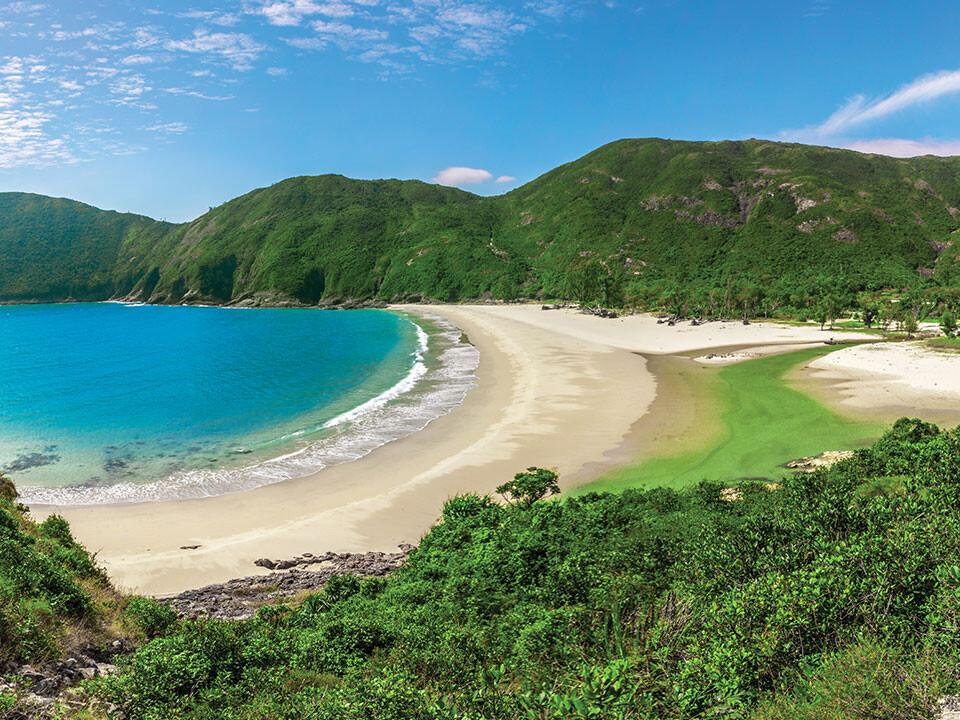
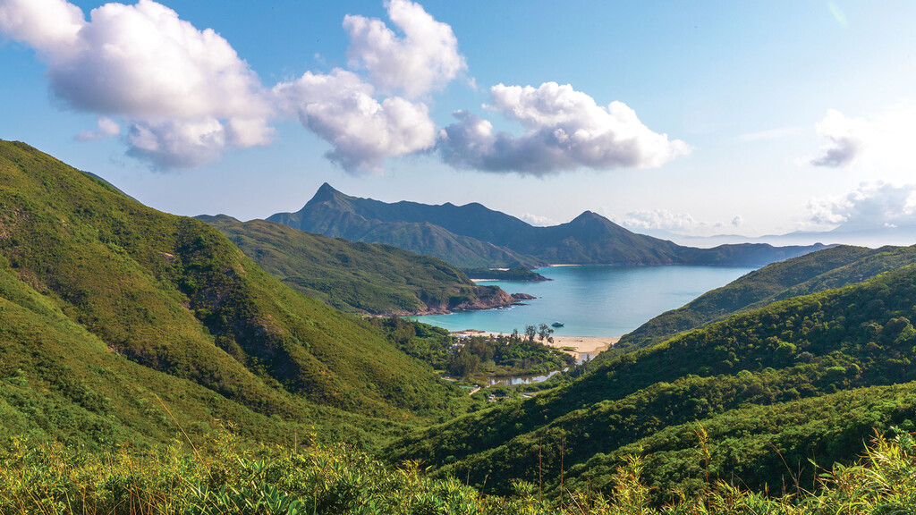
The trail explores the New Territories from east to west. Starting in the lonesome Sai Kung Peninsula, with its bays, beaches and little fishing villages, it first rounds an immense reservoir. Then the trail works itself west, following a string of mountains that rise up behind Kowloon Bay and conceals the view on mainland China. It passes Hong Kong's highest peak – Tai Mo Shan, 957 m. In the center of city life one detects the old airport. This is really a trail of green hills with views on sea inlets, far away islands, but also the rather dull living quarters of Hong Kong's dwellers: towering apartment buildings, as they currently build in all large Chinese cities.
The trail is very well prepared (too much, some hikers argue, hating all the concrete paths and steps up and down the hills). Excellent waymarking and good maps see to it you won't lose the trail.
Note that the 100km Hong Kong Trailwalker race takes place annually primarily on the Maclehose Trail. However, the race route is not exactly the same as the official Maclehose Trail, which is the FKT route.