Route: Massachusetts crossing, West - East (MA)

Submitted by adamfowlerr on Fri, 05/15/2026 - 07:02am
Location
Massachusetts, US
Distance
150 mi
Vertical Gain
7,500 ft
Description

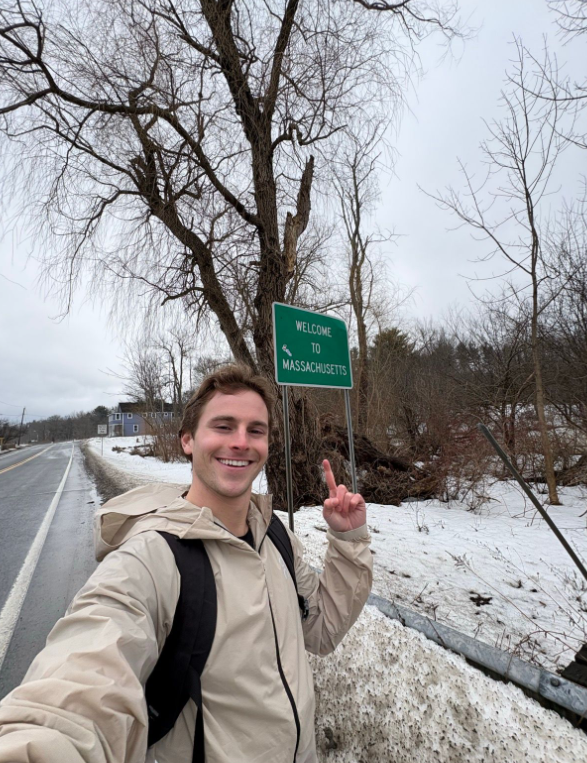
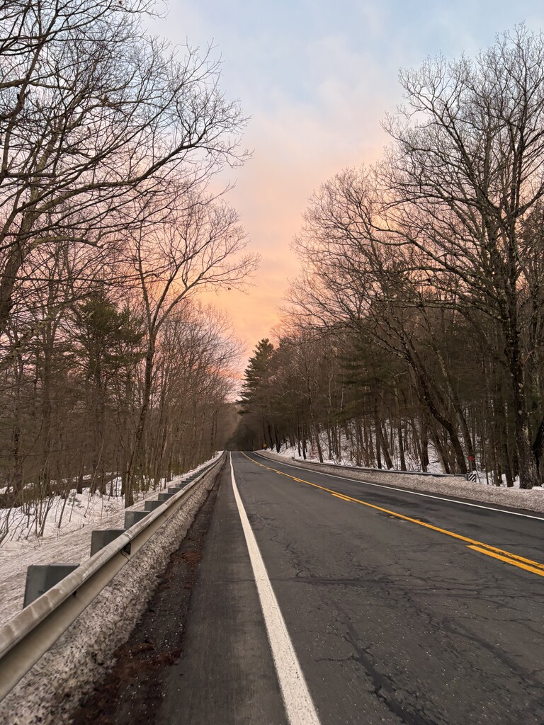
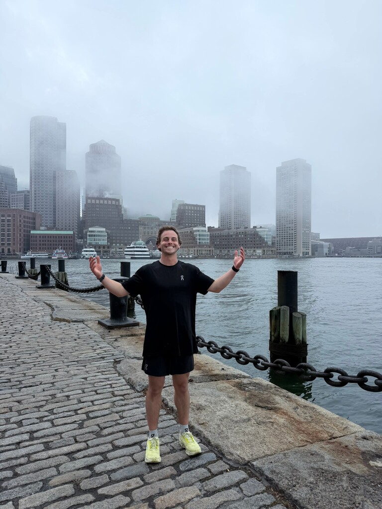
This is an open course route mainly following the US Route 20 corridor starting at border with NY on route 102 (State line Rd) and ending at the Boston Common/Public garden entry by the statue of George Washington. It is possible to follow route 20 for most of the route, however as open course you can plan yourself. Be careful about traffic and time of day. At nighttime ensure you have good lighting and reflective gear/vest. Along the route are many options for purchasing energy and night accommodations if needed.

GPS Track
MA W-E.gpx829 bytes