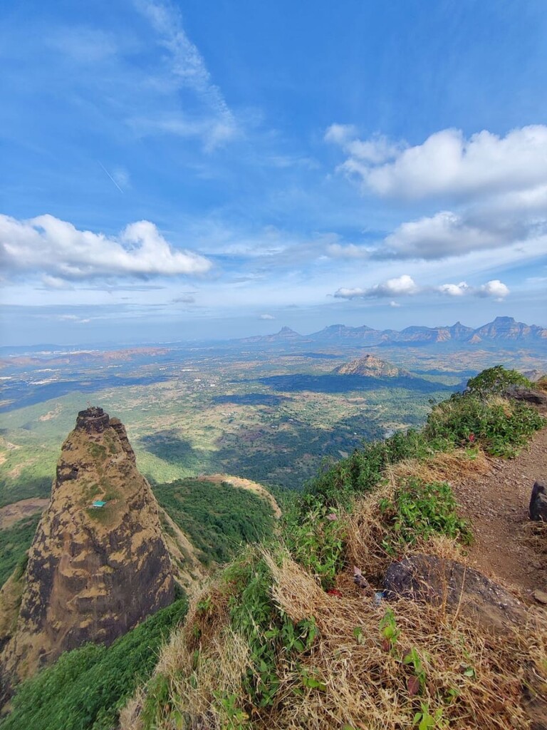
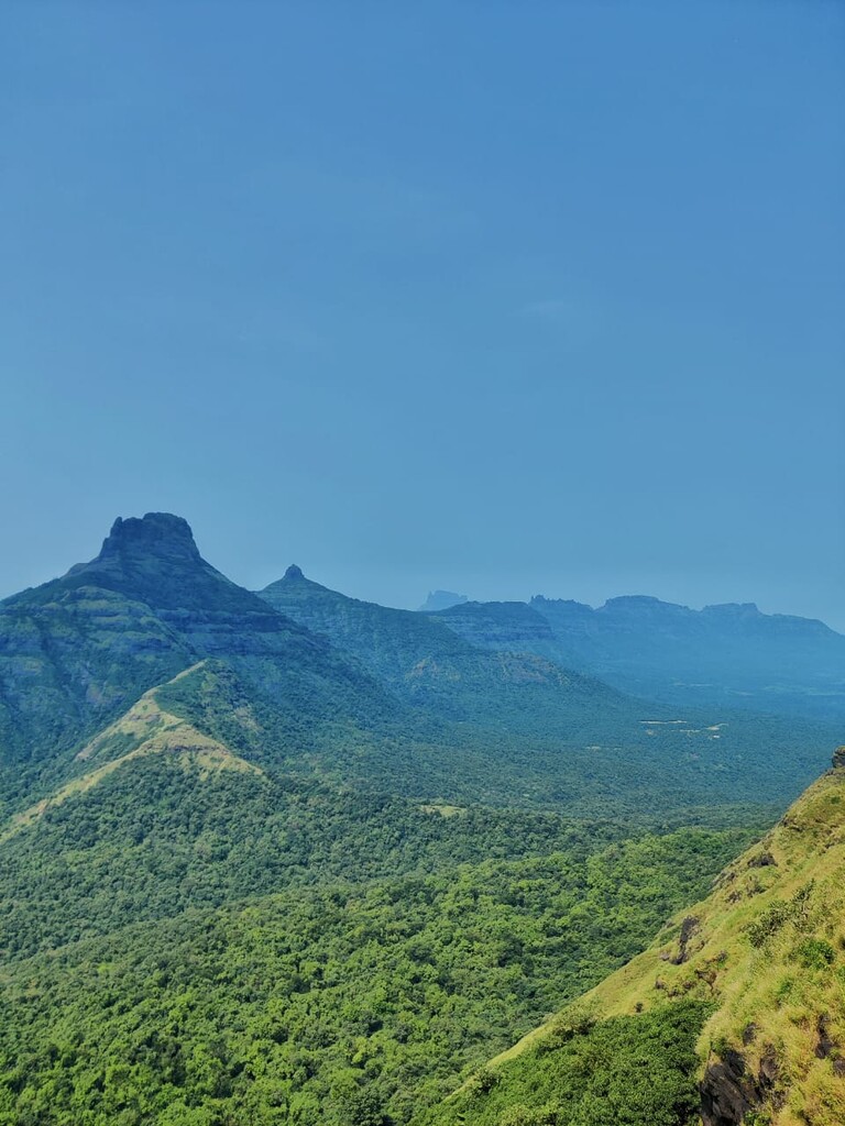
The Matheran range is a part of the Western Ghats in the state of Maharashtra, India which is known as the Sahyadri mountain range. The Matheran range is located around 60kms from the city of Mumbai and approximately 100km from Pune city. It has 6 major landmarks which include the forts of Kalavantin Durg (555m), Prabalgad (731m), Irshalgad(525m), Peb (Vikatgad) (640m), Nakhind point (676m) and the Matheran plateau (765m). These forts have a historical significance dating back to the 16th century during the period when the Maratha King Chhatrapati Shivaji Maharaj ruled the kingdom of Swarajya. All these forts were primarily used for surveillance and guard the surrounding areas. Many other forts from the Panvel Raigad district are visible from these forts. This route was commonly used at that time as the trading route which connects the Mumbai and the Raigad Panvel sub districts.
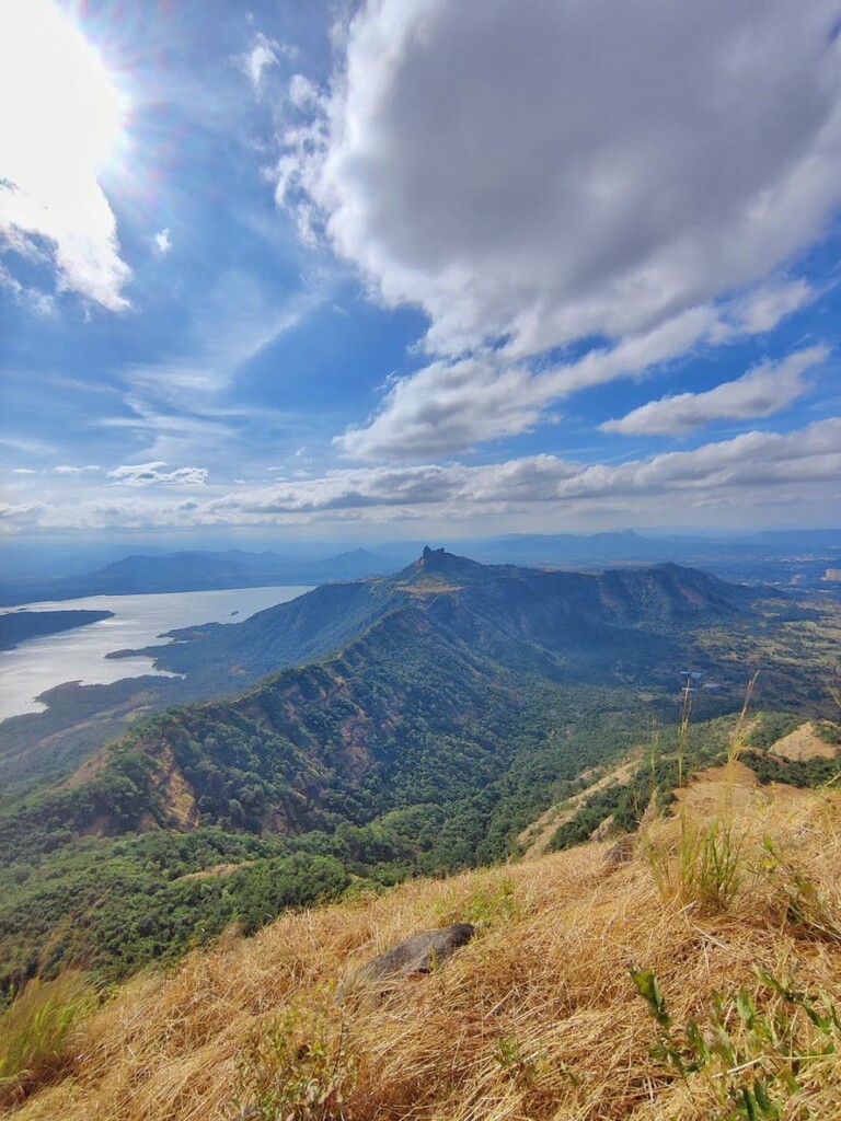
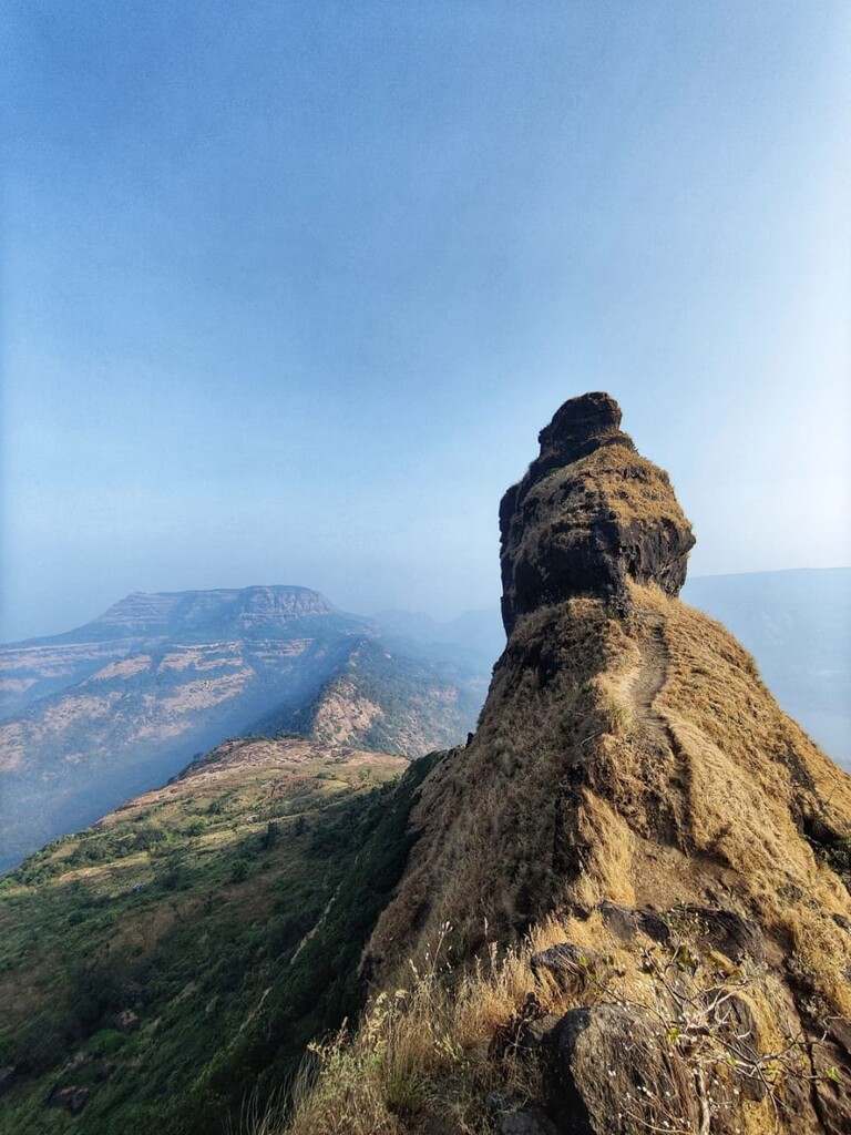
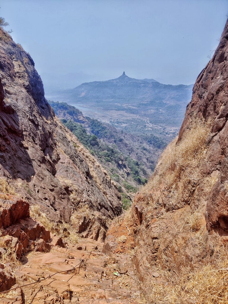
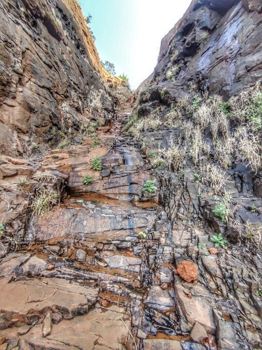
The route starts from the base of the Kalavantin Durg taking us to the top and then traverses to Prabalgad fort. As we reach the top of this fort we can see the Irshalgad fort and the Matheran plateau. We start descending from the back side of the Kala Buruj of Prabalgad fort and approach Irshalgad from the ridge connecting these 2 forts from the rear side of Irshalgad. The route then takes us to the top of the Irshalgad fort and then down to the base village Irshalwadi. Taking the trail alongside Morbe dam the flat section takes you to the base of the Matheran plateau. Further we climb the steep incline which takes us to the Charlotte Lake on top of the plateau. We move towards Matheran railway station via taking the route which covers the famous sight-seeing points of Belvedre’s Point, Marjorie’s Nook, One Tree Hill Point, Little Chowk Point, Rambaug Point and then finally reaching the market. From the market we head towards the Dasturi Car Parking to exit the Matheran plateau and head to Peb Fort. By taking the railway track route which goes around the North end of the plateau we start traversing to Peb. The highest point of the fort is the temple at the top from where we descend and start moving towards the Nakhind ridge. The Nakhind ridge is approximately 4 kms from Peb fort. The trail ends at Bedisgaon near Vangani.
The entire route is approximately 46kms long covering the 6 major peaks with a total elevation gain of 3392 metres.