Location
Mauritius
Distance
80 km
Vertical Gain
1,313 m
Description
GPS Track
Gris Gris - Cap Malheureux.gpx127.31 KB
FKTs
Male
| Vincent Martin | 14h 57m 5s |
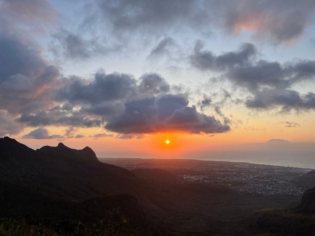
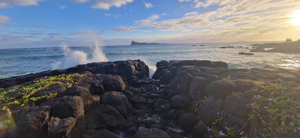
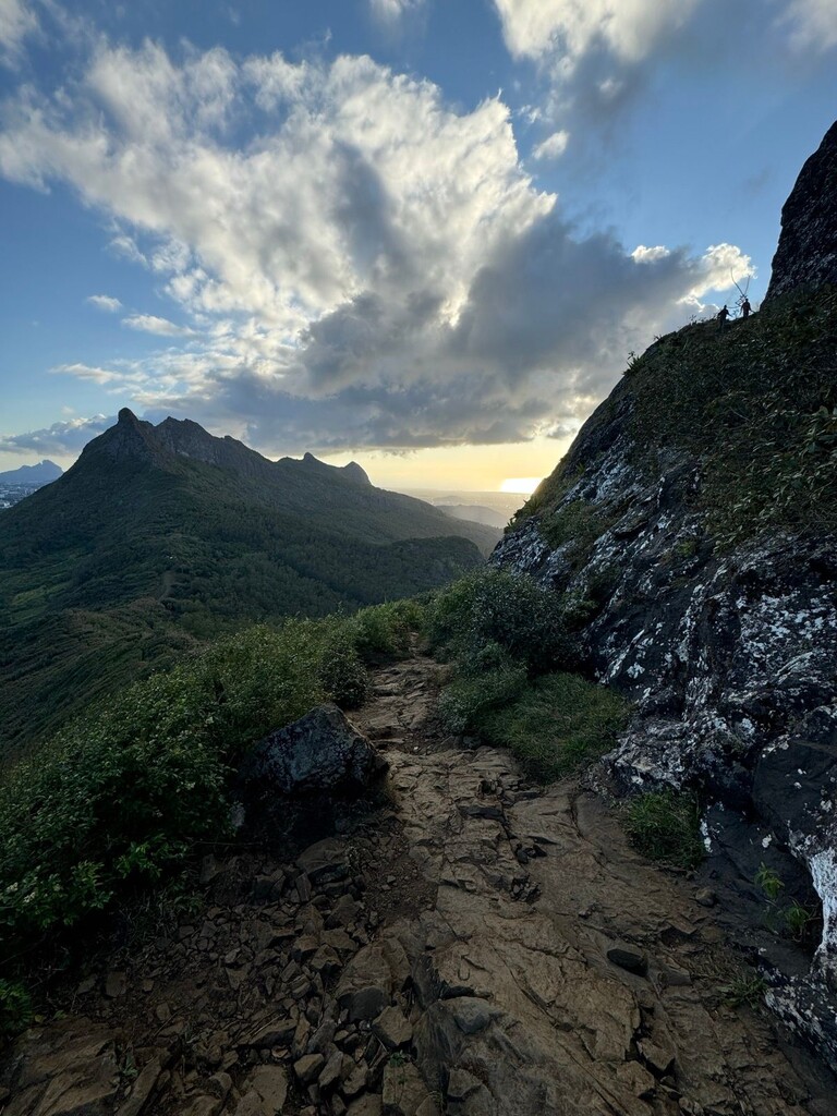
Images