The Mittagong to Katoomba (M2K) traverse is a remote, rugged, and rarely attempted route linking the Southern Highlands to the Blue Mountains. Traditionally completed by bushwalkers over several days, this line offers an adventurous ultra-distance challenge across fire trails, wild river crossings, historic mining ruins, and steep climbs in and out of the Coxs River valley.
The route has long been an iconic multi-day traverse. This version takes the fire-trail and road-based variant rather than the harder-to-navigate bushwalking route—still wild, still remote, but more runnable and feasible for fast-packing or FKT efforts.
Running it Mittagong → Katoomba offers a home-finish for Blue Mountains locals, but comes with more elevation gain and a brutal final third through the Coxs River valley and Narrow Neck.
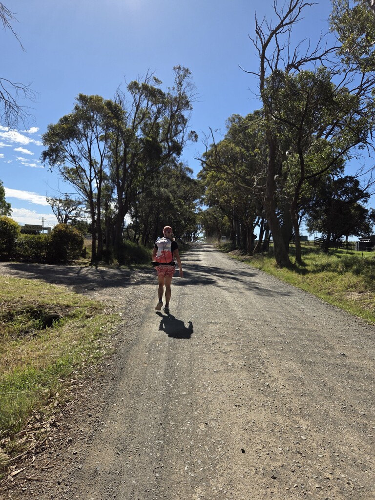
The route begins at Mittagong Station, following singletrack through local reserves before joining Wombeyan Caves Road. After ~20 km of road and a short detour through bushland, the course drops steeply into Nattai National Park on dusty fire trails. The early kilometres are exposed, dry, and deceptively taxing.
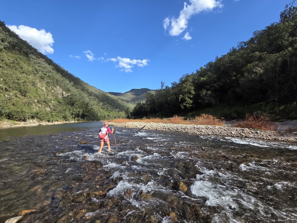
From here, the terrain rolls quickly toward the Wollondilly River, where a broad, shallow crossing breaks the run before pushing deeper into remote country. As night falls, the route passes through Yerranderie, a historic silver-mining township managed by NPWS, complete with basic facilities and tanks.
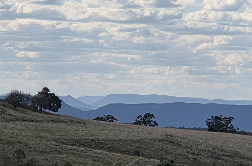
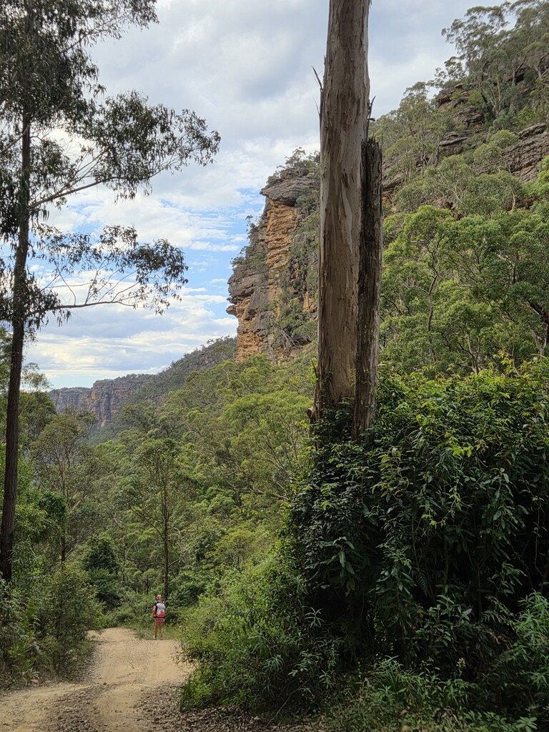
Beyond Yerranderie, the course traverses long, undulating fire trails before the rough and overgrown climb to Mount Cookem. A steep, scrub-choked descent drops into the Coxs River—your final major landmark before a massive climb out onto the fire trails toward Medlow Gap.
From Medlow Gap the route joins familiar Blue Mountains terrain but remains demanding. Depending on comfort with exposed scrambling on Tarros Ladder, runners can take the direct ladder route or detour via Duncan’s Pass. From Narrow Neck it’s a long but straightforward fire-trail run to the locked gate where the effort ends.
Comments
Hi, what is the water availability between the start and the first major river crossing @ Murphys Crossing on The Wollondilly River ? (54km)
I'm keen to give this a try as a fastpack.