Route: Mols Bjerge-stien (Denmark)

Submitted by Jens Baltzersen on Tue, 02/16/2021 - 12:16pm
Location
Denmark
Distance
61.52 km
Vertical Gain
1,230 m
Description

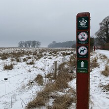
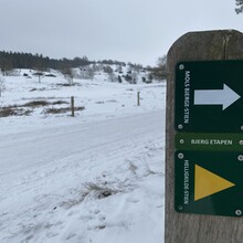
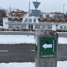
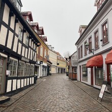
The Mols Bjerge trail connects one of Denmark's few National Parks. The route starts in the parking lot at Kalø Slotsruin and ends at the bus station in the beautiful coastal town of Ebeltoft. The route runs through some of Denmark's most iconic ice age landscapes, and on most days you can enjoy many spectacular views over the bay area. The route runs through several types of forest, open areas and agricultural land. The surface is primarily gravel road and single tracks, but also a bit of asphalt. Normal running shoes are fine most of the year, but trail shoes can be an advantage on wet days. The route is extremely well marked. You will not need a card. There is access to toilets and water at both the start and end point as well as several places on the route. The public bus line route 123 stops at the starting point and connects the start and end points. Prices for public transport are relatively high in Denmark, but running is still free ;-) National Park Mols Bjerge has an extensive website in both Danish, German and English (see link below) as well as an app for both Android and iOS, which contain official maps over routes, accommodations, water posts, restrooms and more.

https://nationalparkmolsbjerge.dk/

GPS Track